Thailand’s Asian elephants are the country’s national symbol. In olden days they were used by cavalry forces in warfare; in more recent times they were beasts of burden for the timber industry where they hauled cut trees out the jungle.
Logging, agriculture and a growing human population have reduced the elephants’ natural forest habitat and their numbers. Statistics vary, with one source estimating that Thailand’s population of wild elephants dropped from 300,000 at the turn of the 20th century to roughly 3,000 today, while the population of domesticated elephants has declined from about 100,000 to about 4,000 during that period.
Captive elephants require lots of food and water, and they aren’t cheap to keep. To pay for their upkeep some owners, known as mahouts (pronounced ma-hoots), have resorted to using them as panhandlers for street begging in Bangkok and other cities, to provide rides in trekking camps or to perform in circus shows. Animal rights proponents say all three options cause mental and physical duress to elephants, and organizations such as Save Elephant Foundation have created sanctuaries or other eco-tourism options to provide elephants with a better life, as well as economic incentive for mahouts to keep their charges off the streets and out of trekking camps and circuses.
I did a one-week volunteer vacation at the Surin Project, one of roughly a dozen projects under the umbrella of Save Elephant Foundation, a nonprofit organization based in Chiang Mai in Thailand’s far north.
The Surin Project is located in Ban Tha Klang, a small town deep in the Thai countryside. It’s about a six-hour bus ride northeast of Bangkok, and is surrounded by rice and sugar cane fields, grazing water buffalo and a smattering of forests. It is a village where elephants and people live side-by-side; where elephants are chained to a tree in the yards of many homes and where mahouts ride atop their elephants and take them around town like people might ride their horses in a cowtown in the American West. It’s also home to an elephant circus, which is a big tourist attraction.
This all makes for a unique human-elephant dynamic, but it’s not always ideal for the elephants. I witnessed circus elephants being trained against their will under coercion of the bullhook, a device with a hook attached to a handle that’s used for training and disciplining purposes. I noticed that some of the elephants chained in their enclosures or to trees in the yards occasionally spun their heads as they stood in place, seemingly a reflex action from being trained to spin hula hoops around their trunks or to dance and sway to uptempo dance music for the circus. They resembled a person with an uncontrollable neurological problem that caused their heads to turn and twitch.
The Surin Project provides an alternative. Mahouts who participate in the project receive a salary. In exchange they agree not to use a bullhook, as well as allow the elephants to move about without chains and to interact with other elephants for periods of time each day, and to participate in activities with the volunteer tourists. Volunteers perform daily chores that can include planting and cutting sugar cane, building enclosures for the elephants, cleaning out poop and sugar cane chaff in the enclosures, and accompanying elephants on their walks and bathing them in the river.
Surin Project elephants have an envious life compared to their compatriots in Ban Tha Klang who work in the local circus. But keeping the mahouts—and their elephants—in the project isn’t easy because mahouts can often make more money elsewhere. Within a half-year or so after my one-week volunteer experience, several mahouts and their elephants had left the project. They were replaced, but it’s a fluid situation.
Afternoon walk
Dust bath
Cooling off following afternoon walk
Walking to Moon River for bath time
Bath time
Wongduean & Nonglek (or maybe it’s the other way around)
Maliwan (mother) & Saifon (child)
Samgud (mahout) & Anda
Paen (mahout) & Warin
Pookie's left eye
Elephant hide
Suchard (face powdered as penalty for being on losing side of "Mahout Olympics")
Sugar cane harvest
Water buffalo coming back into Ban Tha Klang after grazing in the surrounding fields all day.
Water buffalo
Smokey morning, Ban Tha Klang
Scooter, Ban Tha Klang
Ban Tha Klang gas station
Tourist lodging for circus, Ban Tha Klang
Hanging out with elephants
Ban Tha Klang school children
For Americans, Cuba has been so close yet so far. Only 90 miles from Key West, Fla., the island nation is six decades removed from the U.S. as a result of the Cuban Revolution of 1959 and subsequent decades filled with Cold War baggage, economic sanctions, travel restrictions and ill will between the two nations’ governments.
For the most part, Cuba has been forbidden fruit for Americans. Following the Obama administration’s efforts to improve diplomatic and economic ties and to remove the travel barriers that have made visiting Cuba a hassle, Cuba seemed on the verge of becoming the next big thing. But the Trump administration has taken a page from the Cold War-era playbook and decided to put the screws on Cuba and punish the government for various political reasons. That includes proposed restrictions on Americans traveling to Cuba.
American sanctions, coupled with the near-collapse of key ally Venezuela (a source of cheap, subsidized oil), has squeezed the Cuban economy and led to rationing of basic foodstuffs. At the same time, the ruling Communist Party’s small steps to develop a market economy haven’t materially benefitted the country at large, and the authoritarian government recently has been cracking down on society. Hopes for economic gains and more freedom have been squelched. Cubans have put up with a lot of crap imposed both from within and without for the past 60 years, and it doesn’t look like that’s ending soon. Yet the people manage to carry on daily life with a sense of pride and a lot of pluck.
On a walk through the heart of Havana one early evening, I ventured past residences with doors and windows opened to the warm air that revealed cramped, dingy, dimly-lit living quarters. Meanwhile, the streets were alive with activity––stores and street carts selling food, pedestrians hanging out on sidewalks, music coming from bars, the flow of traffic and the general flow of everyday life gave the city a sense of constant movement and vitality.
There’s a co-existence of hardscrabble and high energy in Cuba, as well as a strong sense of being in the then and now. In Havana, the evocative feel of yesteryear with its plethora of ‘50s-era American cars and grand—in some cases, crumbling—early-20th century buildings contrasts with the city’s feel of being modern and very much in the moment. It’s an interesting kind of tension.
But the prospects for change in Cuba from the short-lived U.S.-Cuban détente have seemingly vanished in 2019 as both governments fall back on retrograde policies.
The return of hard times (actually, have they ever left Cuba?) is another test of Cubans’ resiliency.
Boxer at Gimnasio Rafael Trejo (Havana)
Girls on bus (Havana)
El Malecón (Havana)
Havana balcony
Handball (Havana)
Musicians and doorman at El Floridita, famous for its daiquiris and for being Ernest Hemingway’s favorite Havana watering hole.
Havana
Woman on El Malecón (Havana)
El Malecón (Havana)
Havana
Granma . . . mouthpiece of the Communist Party
Grandma snoozing while reading Granma
‘50s-era taxi, stripped down to the basics (Havana)
Car at night (Cienfuegos)
Silhouette (Cienfuegos)
Boys in park (Havana)
José
Eggmen of Cienfuegos
Alberto
Restaurant (Trinidad)
Trinidad
Jorge (abuelo) & Jorge (nieto)
Produce vendor
Abél the barber and painter (Trinidad)
Viñales valley
Viñales farm worker
Plowing tobacco field (Viñales)
Gerardo the cigar maker with tobacco leaves (Viñales)
Korimacao Culture Group
Bay of Pigs
Jerusalem is a heavy place. For much of its roughly 5,000-year-old history it has been a turnstile through which has passed a steady stream of conquerors—with many ownership changes marked by incredible slaughter. In addition, the city is holy to the three Abrahamic faiths—Judaism, Christianity and Islam. Each claims its stake within Jerusalem, and the city plays a central role in end-times apocalyptic visions harbored by all three religions. Jerusalem’s vibe is filled with the weight of its history and the tension of its split religious identities and ethnic divides.
The scene is much different in Tel Aviv, which arose from sand dunes along the Mediterranean Sea in the early 20th century and doesn’t seem to carry as much weight on its shoulders. Surfers trudge along busy city sidewalks carrying boards under their arms as they go to and fro the beach. Rainbow flags hanging from windows and same-sex couple couples holding hands herald its reputation as a gay-friendly city. The European café culture is strong and the city appears thoroughly Western, making it feel apart from the country’s simmering turmoil; that is, until Palestinians in Gaza start launching missiles toward it (which occurred during my time in the country).
Israel, of course, is the Holy Land. It is also the Contested Land, perhaps the planet’s most-conflicted and complicated piece of real estate due to the tussle between Israeli Jews and Palestinian Arabs. During my last full day in Jerusalem I had two encounters that illustrated the seeming intractability of the Israel/Palestine situation, plus another encounter that offered a soupçon of hope.
During an afternoon visit to the ultra-orthodox Jewish neighborhood of Mea Shearim, a man felt compelled to tell me the third Jewish Temple will soon be built on the Temple Mount, the most sacred site in Judaism where the first two Jewish Temples stood (the second was destroyed by the Romans in 70 A.D.). The venerated Western Wall, a prayer and pilgrimage site for Jews, dates from 2,000 years ago and is the western support wall for the Temple Mount. The Dome of the Rock and Al-Aqsa Mosque, together Islam’s third holiest site, have occupied the Temple Mount—the Muslims call it Al-Haram al-Sharif, or the Noble Sanctuary—since around the turn of the 8th century. Some Israeli Jews want to destroy the Dome and Al-Aqsa to clear the way to rebuild the Temple and hasten the arrival of the Messiah. (More likely, it would hasten a horrific war of regional and global implications.) Others say only God should decide when the third Temple will be rebuilt. With that in mind, I asked the man how the third Temple would arise. He replied his rabbi told him Iran would launch a war that would destroy the U.S. and usher in the apocalypse, the third Temple and the arrival of the Messiah. He emphatically stated this scenario would begin unfolding within 11 months (we spoke in November 2019).
That night during dinner at a restaurant in East Jerusalem, I noticed an oval piece of artwork on the wall over my table that depicted the borders of Palestine in a way suggesting modern Israel does not exist. In so many words, I asked my waiter if this represented wishful thinking on the Palestinians’ part. He replied that Palestinian Arabs will soon drive the Jews into the sea. When I mentioned that Israel has superior firepower, he confidently replied that Jews are weak, Palestinians are motivated and victory will be achieved within two years.
Between Mea Shearim and dinner, I sat in on a presentation made by two members of the Parents Circle – Families Forum, a joint Israeli-Palestinian nonprofit organization of 600-plus families who’ve lost an immediate family member during the ongoing conflict. PCFF’s main thrust is that reconciliation is a prerequisite to achieving a sustainable peace. One of the PCFF speakers, a 70-year-old Israeli man, lost his 14-year-old daughter to a suicide bomber. The other speaker, a 26-year-old Palestinian man, lost his 10-year-old sister to an Israeli soldier’s bullet. They shared their stories of grief and anger, followed by their realization that hatred only perpetuates the cycle of violence.
“We are not doomed to repeat this cycle,” said Rami Elhanan, the Israeli man. “Through dialog we can bring down walls.”
PCFF members speak at schools and various public venues to spread the organization’s message. They’ve started a summer camp to bring together Israeli and Palestinian children. “I’m not fooling myself; I know we’re swimming against the tide,” said Elhanan, PCFF’s co-director. He added the aim is to create cracks in the walls they’re trying to bring down. As PCFF says on its website, it’s the only association in the world that doesn’t wish to welcome any new members into its fold. Someday, hopefully, its membership will start decreasing for all of the right reasons.
Western Wall, Jerusalem
Western Wall
Western Wall bar mitzvah. Women watch the ceremony from the mechitza, the divider separating the men’s and women’s prayer sections at the Wall.
Western Wall bar mitzvah (boy hiding)
Dome of the Rock
Tradition says the Prophet Muhammad, Islam’s founder, ascended into heaven from this spot during his Night Journey where he met God and some of the prophets, including Moses and Jesus. The Dome and the adjacent Al-Aqsa Mosque on the Temple Mount (or Al-Haram al-Sharif) together comprise Islam’s third-holiest location after Mecca and Medina in Saudi Arabia.
The Church of the Holy Sepulchre in the Christian Quarter of Jerusalem’s Old City encompasses what’s believed to be where Jesus Christ was crucified and buried. The edicule (“little house”) in the foreground is built over the tomb traditionally held as the burial—and resurrection—site of Jesus. For Christians, this is Ground Zero.
Ethiopian Orthodox chapel within the the Church of the Holy Sepulchre. The Church is shared and administered by five Christian denominations: Greek Orthodox; Roman Catholics; Armenian Orthodox; Egyptian Copts and Syriac Orthodox. The Ethiopians have only access rights, which includes a small rooftop monastery and a chapel beneath that.
Sts. James Cathedral, a 12th-century Armenian Orthodox church in the Armenian Quarter of Jerusalem’s Old City. According to tradition, the cathedral contains the head of James, one of the 12 apostles (his body is believed to be in the Spanish pilgrimage shrine of Santiago de Compostela) and the body of James the Less, a relative of Jesus who became the first bishop of Jerusalem. It is one of the few Holy Land cathedrals from the Crusades to have survived almost intact.
Church of the Annunciation in Nazareth, built on the site that tradition says the angel Gabriel told Mary she was chosen to deliver a special package. Nazareth, in northern Israel’s Galilee region, is the country’s largest Arab city (pop. 75,000-plus). It has gone from being a Christian-majority city before Israel’s independence in 1948 to a Muslim-majority city. It’s currently plagued by a rising crime rate.
Jerusalem’s ultra-orthodox Jewish neighborhood of Mea Shearim.
Mea Shearim
Reading the pashkevils in Mea Shearim. Pashkevils are wall posters dealing with political, religious and societal issues. Ultra-orthodox Haredim generally eschew modern communications, so pashkevils serve as their mass media and are instruments in seeking to preserve the group’s values and traditions.
Mea Shearim pashkevils
Mea Shearim
Mea Shearim
This man in Mea Shearim told me the apocalypse, the third Temple and the Messiah were coming within a year.
This artwork in an East Jerusalem restaurant represents the dream of many (most? all?) Palestinians of a homeland without Israel.
West Bank
Separation Wall in Bethlehem in the occupied West Bank
Israel began building the Wall in 2002 for what it said were security reasons to thwart the rash of attacks against Israelis during the Second Intifada uprising. Upon completion it will be roughly 450 miles long. In some places, the wall, or barrier, is a 10-foot-tall chain-link type fence augmented by sensors and cameras and flanked by ditches, barbed wire and military patrol roads. In other places, such as in Bethlehem, it’s an imposing 30-foot high, concrete-slab structure. Much of the international community condemns the wall/barrier as a land grab of West Bank territory by Israel to create a de facto future border that expands its domain via the building of Israeli settlements on its side of the barrier. The wall/barrier has been labeled an “apartheid wall” that violates Palestinians’ human rights by restricting their movement and their ability to work, travel and live a normal life beyond the wall. Palestinians who work in Israel or in Israeli West Bank settlements must line up hours before their shifts to pass through checkpoints. The Wall symbolizes the crux of the conflict: Israelis want security, and West Bank (and Gaza Strip) Palestinians want freedom and their own homeland. Finding a way to make both sides happy is the holy grail of peace in the region.
Palestinian women at the Separation Wall in Bethlehem
Judean Desert as it descends toward the Dead Sea, the lowest place on Earth at a depth of about 1,400 feet below sea level..
Dead Sea mud bath
Frishman Beach in Tel Aviv
Frishman Beach
Rothschild Blvd. in Tel Aviv
Cinema Hotel is one of a large number of Bauhaus-style buildings built in Tel Aviv in the ‘30s and ‘40s marked by white (or white-ish) facades and rounded balconies. These and other white modernist structures make up Tel Aviv’s “White City,” a UNESCO-designated World Heritage site.
Florentin, Tel Aviv’s bohemian neighborhood
India is a cacophony of color and complexity. Walking the streets and interacting with the locals is like diving into the mosh pit of Indian life, and the process is exhilarating and, at times, exhausting. The dust, the constant hounding by touts who want to sell you something, and the sense of controlled chaos at times can be a bit much. But the swirling vibrancy and energy of everyday life in this diverse country is absorbing and always fascinating. Other than, say, the beaches in Goa, a visit to India isn’t a vacation—it’s an intense and immersive experience.
Soon to be the world’s most populous country, India straddles both its traditional ways and modernity as it strives to become a major global economic and political player. The following situation represents that dichotomy: the Radisson Hotel Varanasi where I stayed for two nights in the ancient, sacred city of Varanasi in northern India was every bit the comfortable and modern hotel experience I’d expect to find in the West, but it had cattle guards placed at the road entrances to keep wandering cows from moseying onto the property. In some ways, it seemed a perfect metaphor for India.
Flower candles, an offering to the Ganges River (Varanasi)
Brushing teeth with neem stick
Shiva lingam (Varanasi)
Shiva (Varanasi)
Ganges River ghat (Varanasi)
Washing clothes on Ganges River ghat (Varanasi)
Ganges boatmen (Varanasi)
Worshippers at Shiva lingam (Varanasi)
Ghat advertisements (Varanasi)
Five people and yellow sign (Varanasi)
Holy man (Varanasi)
Ganges sunrise
Delhi traffic
Qutb Minar archaeological complex (Delhi)
Jama Masjid Mosque (Delhi)
Shiva shrine (Khajuraho)
Erotic sculptures at the Khajuraho temple complex
Woman (Khajuraho)
Kid in doorway (Khajuraho)
Two kids (Khajuraho)
Foodstuffs (Jaipur)
Three ladies (Jaipur)
Pink City gate (Jaipur)
Boy and cow (Jaipur)
Buying veggies (Jaipur)
Something caught their eye . . . (Jaipur)
Bicycle rickshaw drivers (Jaipur)
Beggar boy (Jaipur)
Kids and cow in the countryside
Roadside monkeys
Countryside advertisement
Cute little girl and cute little shoes (Agra)
Red Fort (Agra)
The magnificence of the Taj Mahal juxtaposed with the trash-filled bank of the Yamuna River (Agra)
Taj Mahal (Agra)
Ladies at grain storage building (Nagarkot)
Nagarkot
Boys playing (Nagarkot)
Old man holding fruit
Nyatapola, a five-story Hindu temple in Bhaktapur
Winnowing the rice crop (Bhaktapur)
Goat meat for sale
Himalayan countryside
Kathmandu
Kathmandu
Sidewalk barber (Kathmandu)
Woman on motorbike (Kathmandu)
Buddhist prayer wheel at Boudhanath in Kathmandu, the largest stupa (a dome-shaped shrine) in Nepal
Boudhanath Stupa (Kathmandu)
Kathmandu
Preparing for cremation at Pashupatinath Temple, the oldest Hindu temple in Kathmandu whose existence is recorded as early as 400 CE
Located in southwest Africa, Namibia is a vast, variegated place of big sky, big land and big contrasts. And for many Americans, it seems to be a big unknown. Europeans, particularly Germans, whose country was Namibia’s colonial overlord at the turn of the last century, dominated the hotel sign-in lists and the conversation in bars and restaurants during my two weeks in the country. But Namibia’s off-the-beaten track feel, at least for Yanks, is part of its charm. As are its many notable highlights ranging from ancient deserts, towering sand dunes and one of the continent’s best wildlife parks at Etosha National Park, to a brooding Atlantic coast, traditional African villages and the tastiest apple strudel and bratwurst this side of Germany.
The backdrop to all of this is lots of elbow room requiring hours of driving to get from here to there. Twice the size of California but with an estimated population of just 2.5 million, Namibia is among the planet’s most sparsely-populated countries. To appreciate Namibia is to revel in both the journey and the destination because the two are inseparable there. And thanks to the country’s highway system––much of it gravel, most of it in good shape and best traveled via four-wheel drive vehicles––and its stable social and political systems that make it a safe place to ramble, Namibia is tailor-made for one of the planet's great road-trip adventures.
Himba girl
Himba women
Himba mother and daughter
HImba boys
Himba kitchen
Himba girl with baby goat
Himba girl in school clothes
Dead Vlei (dead camel thorn trees)
Sossusvlei dune
Dune 45 (Namib-Naukluft Park)
Oryx, zebras and ostrich
Sprinbok
Warthogs
Mopane tree
Fishing from the Atlantic Ocean pier at sunset (Swakopmund)
The term “Americana” refers to the broader aspects of American culture, as well as a genre of music rooted in early folk and country music. To me, it encompasses the full breadth of the American experience—both good and bad, heavy and light, serious and fun. In my travels across the USA (I’ve visited all 50 states), I’ve been fortunate to experience and appreciate some of the threads that comprise the American tapestry
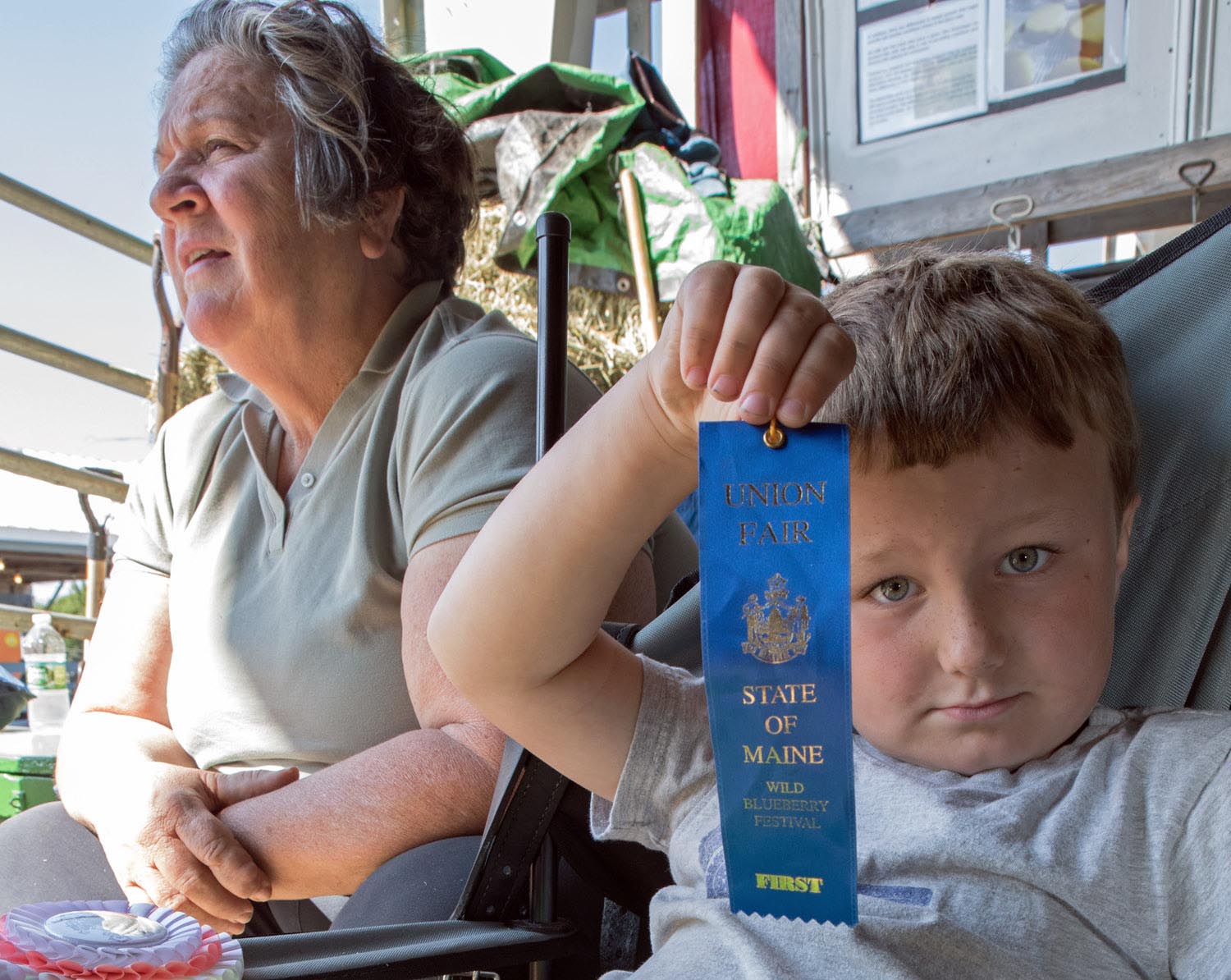
Blue ribbon, Union Fair (Union, Maine)
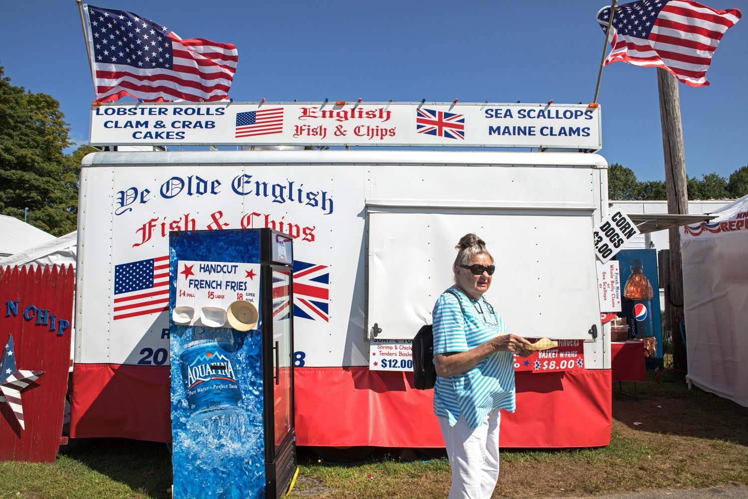
Union Fair (Union, Maine)
Coney Island (New York City)
St. Michael’s Fair (Levittown, Pennsylvania)
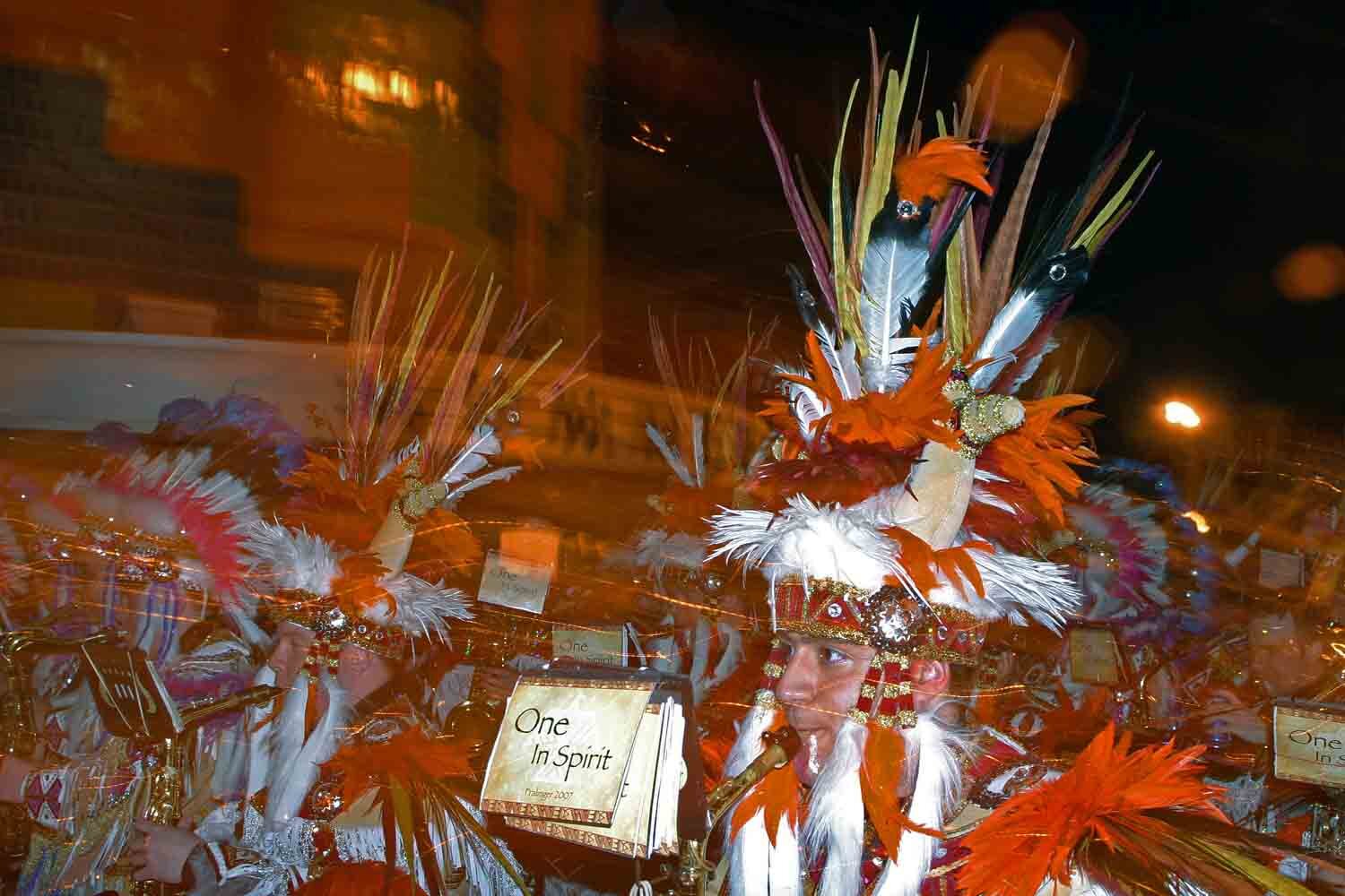
Mummers Parade “after parade” on 2nd Street (Philadelphia, Pennsylvania)
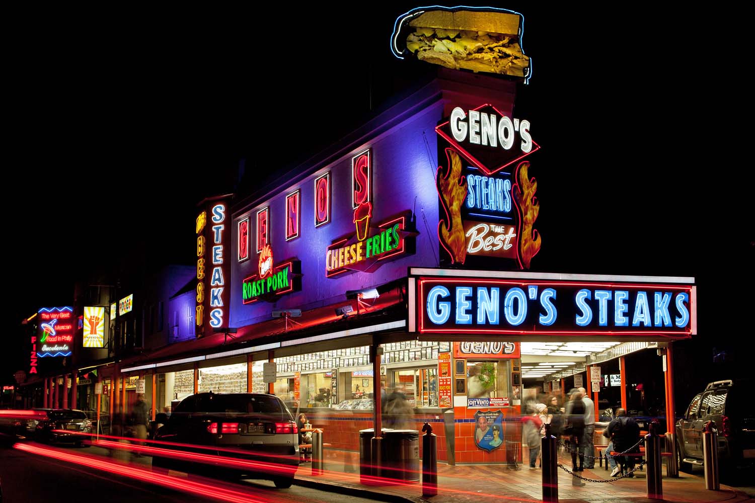
Philly cheesesteaks (Philadelphia, Pennsylvania)
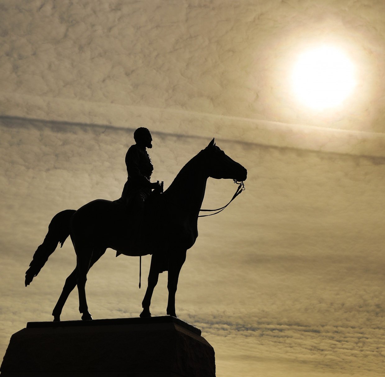
Gettysburg National Military Park (Pennsylvania)
Vietnam Veterans Memorial (Washington, D.C.)
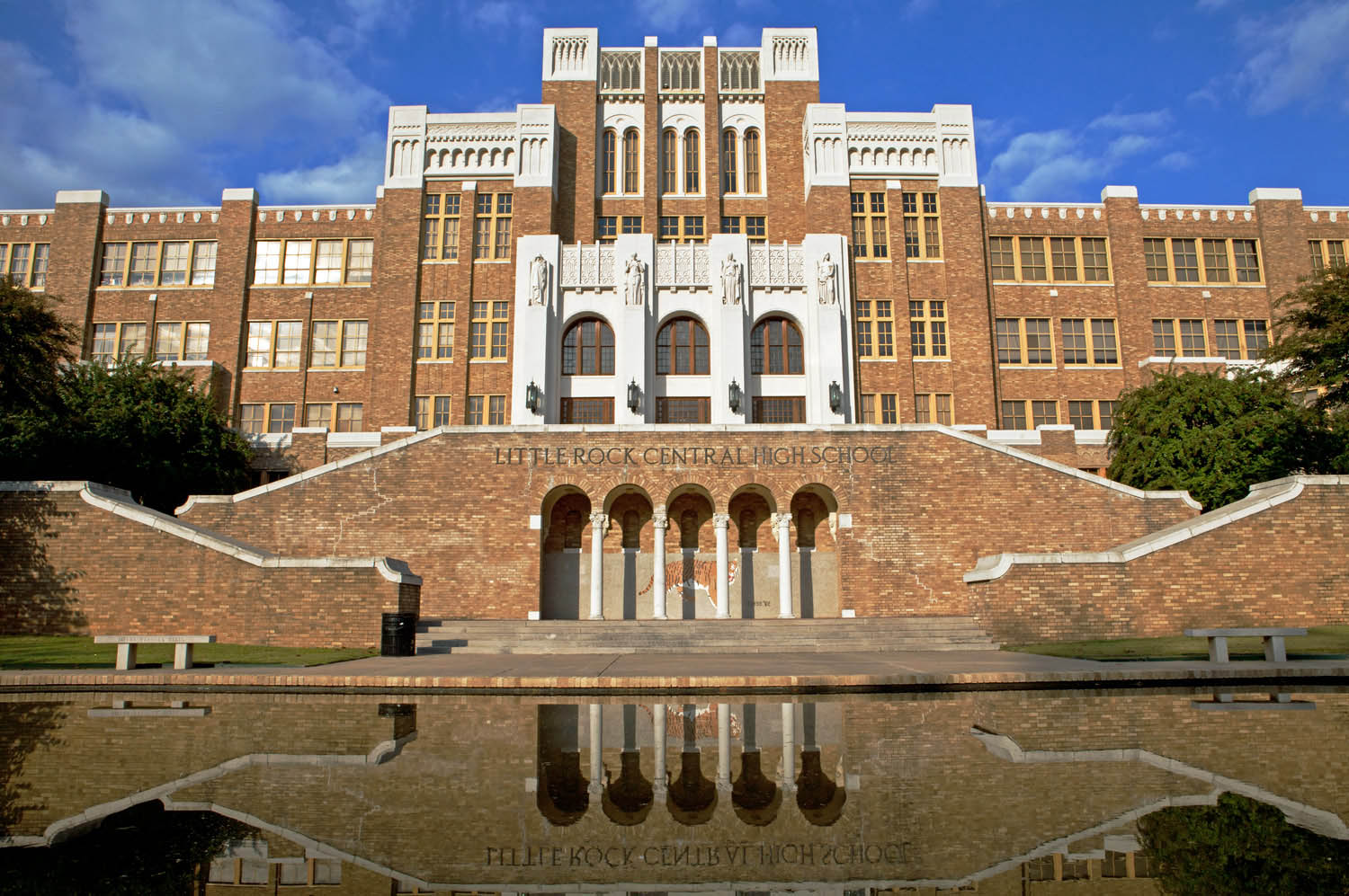
Desegregation showdown in September 1957: President Dwight Eisenhower sent U.S. Army troops to escort nine African-American students into previously all-white Little Rock Central High School.
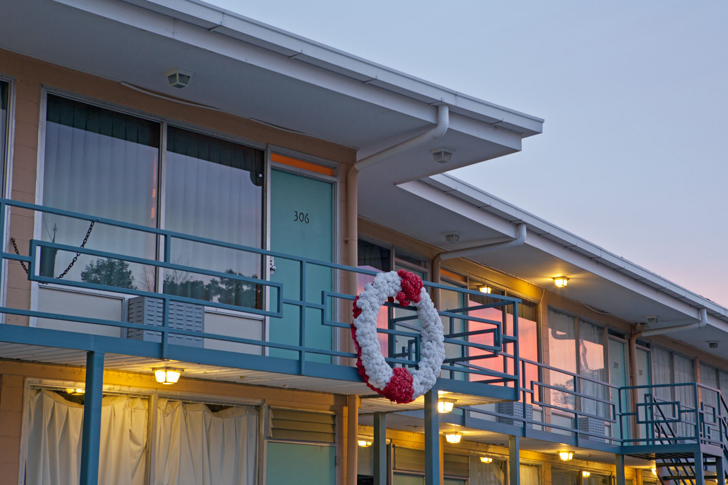
Balcony where Martin Luther King Jr. was assassinated at the Lorraine Motel in Memphis, Tennessee. The building is now the National Civil Rights Museum.
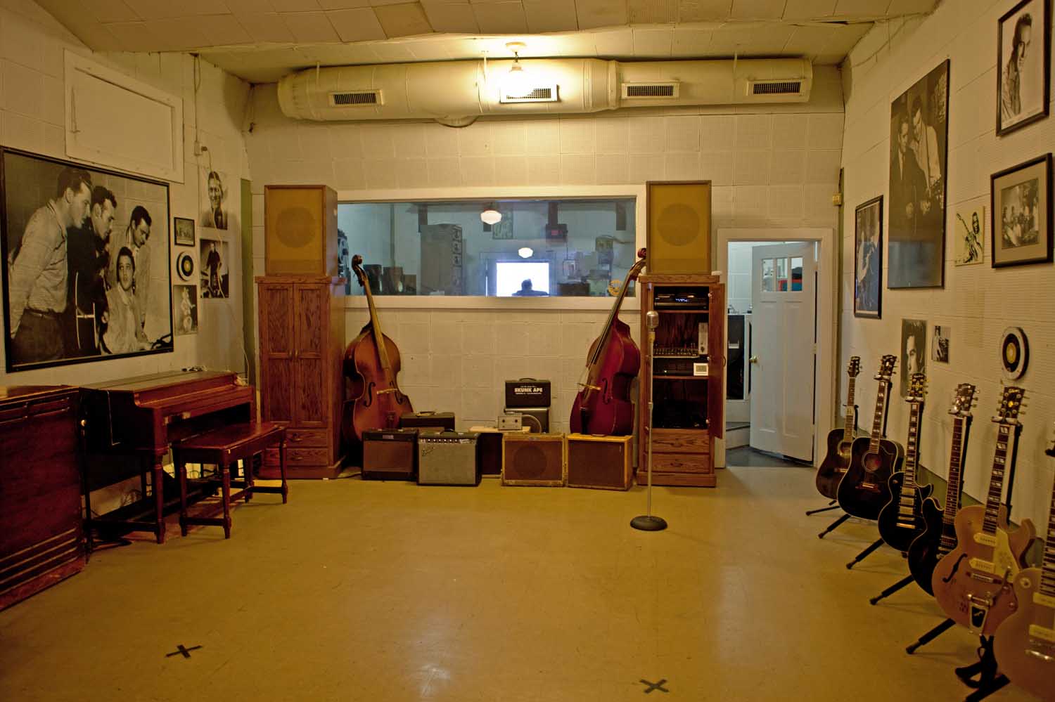
Legendary Sun Studio in Memphis, Tennessee, where the “Million Dollar Quartet” of Elvis Presley, Johnny Cash, Jerry Lee Lewis and Carl Perkins (pictured left) recorded their seminal early hits in the mid-1950s.
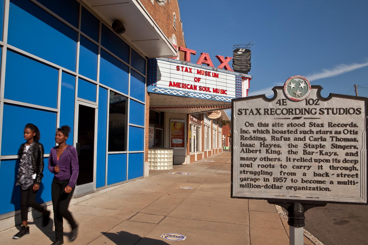
Stax Records (Memphis, Tennessee)
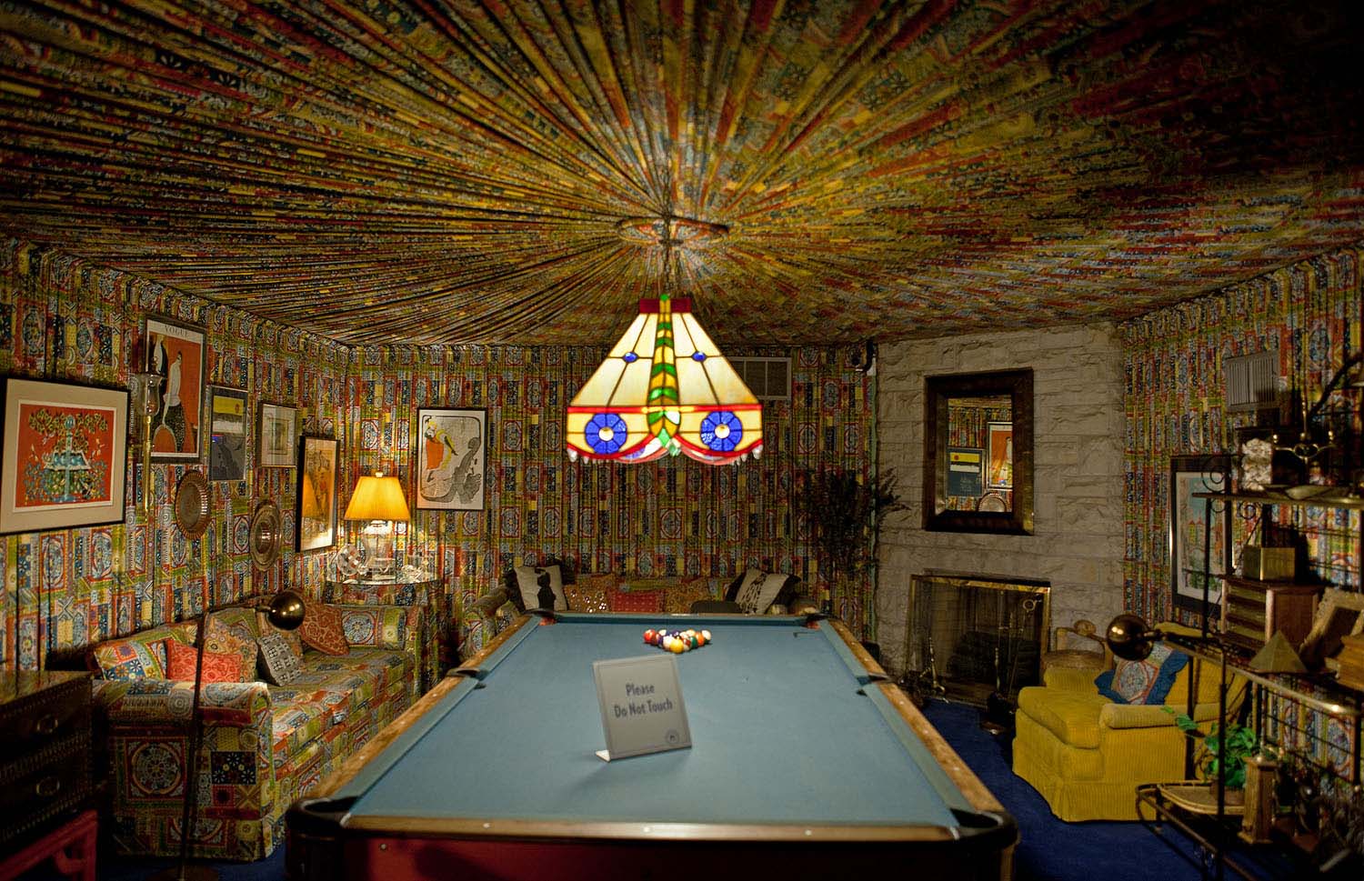
Poolroom at Graceland, Elvis Presley’s mansion (Memphis, Tennessee)
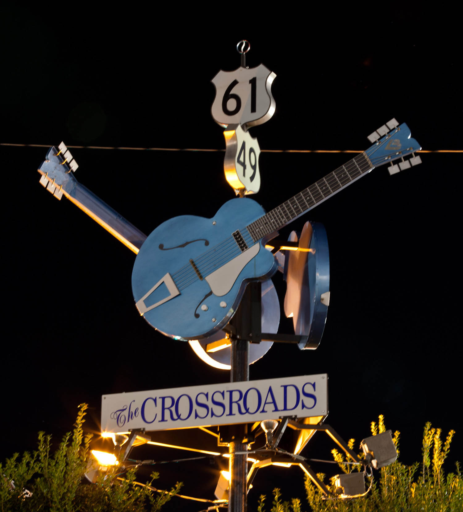
The apocryphal crossroads in Clarksdale, Mississippi, where Robert Johnson allegedly sold his soul to the devil in exchange for becoming a great guitar player and, ultimately, the most famous Delta bluesman.
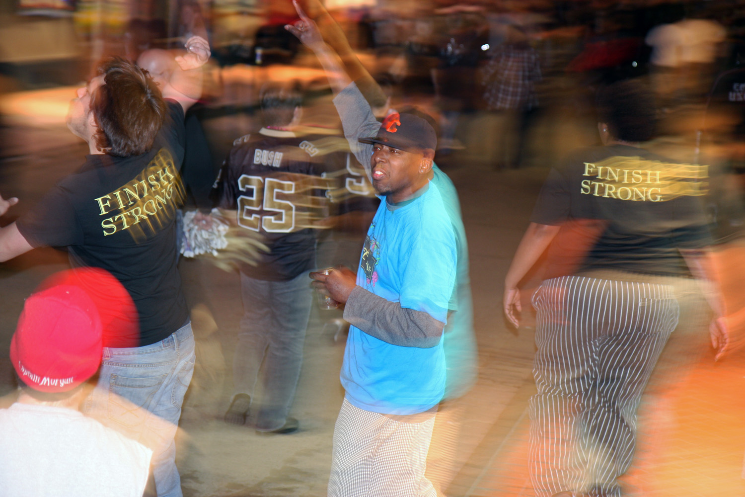
Bourbon Street in New Orleans after the Saints won the NFC championship on January 24, 2010.
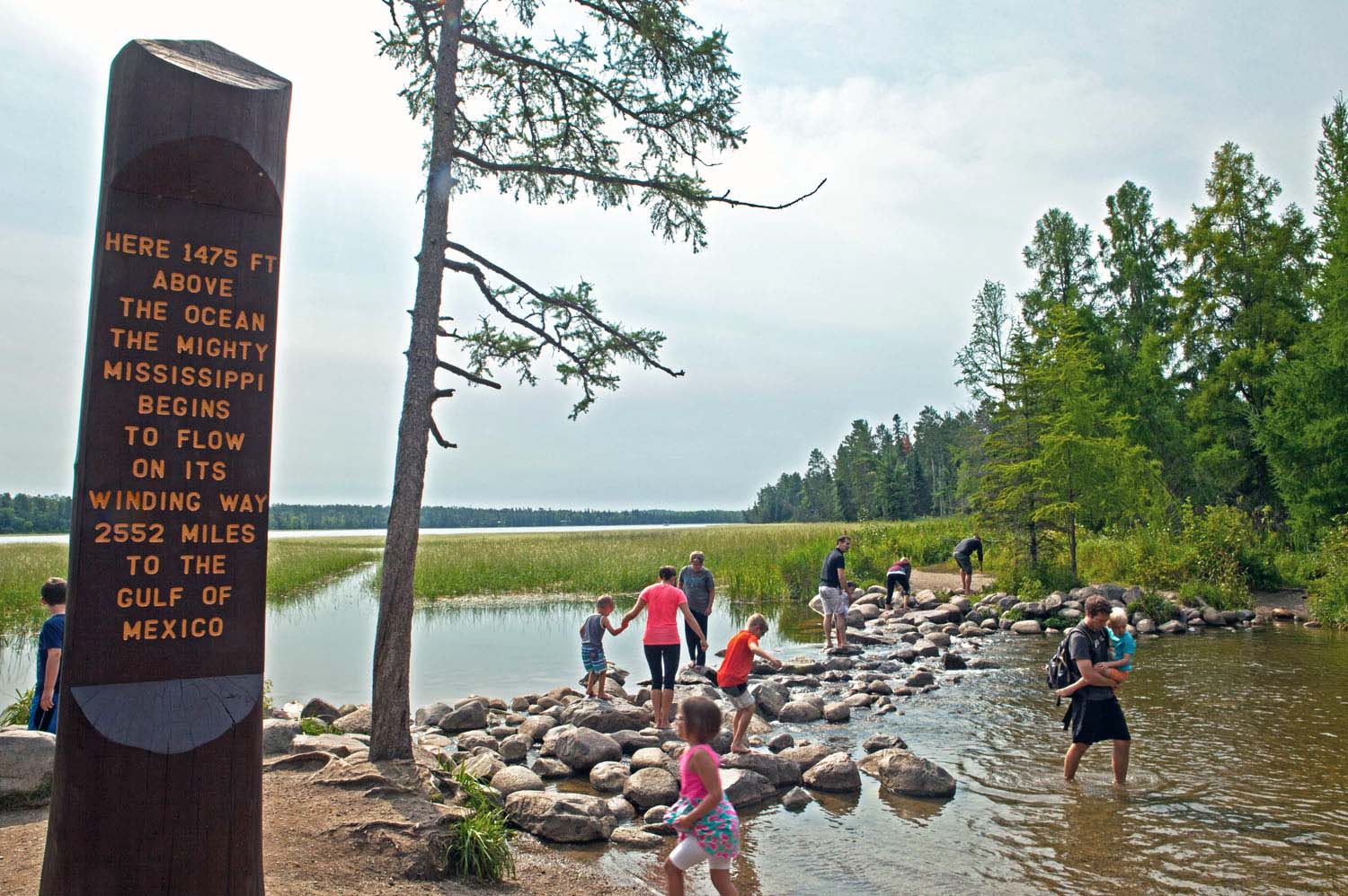
Mississippi River headwaters (Itasca State Park, Minnesota)
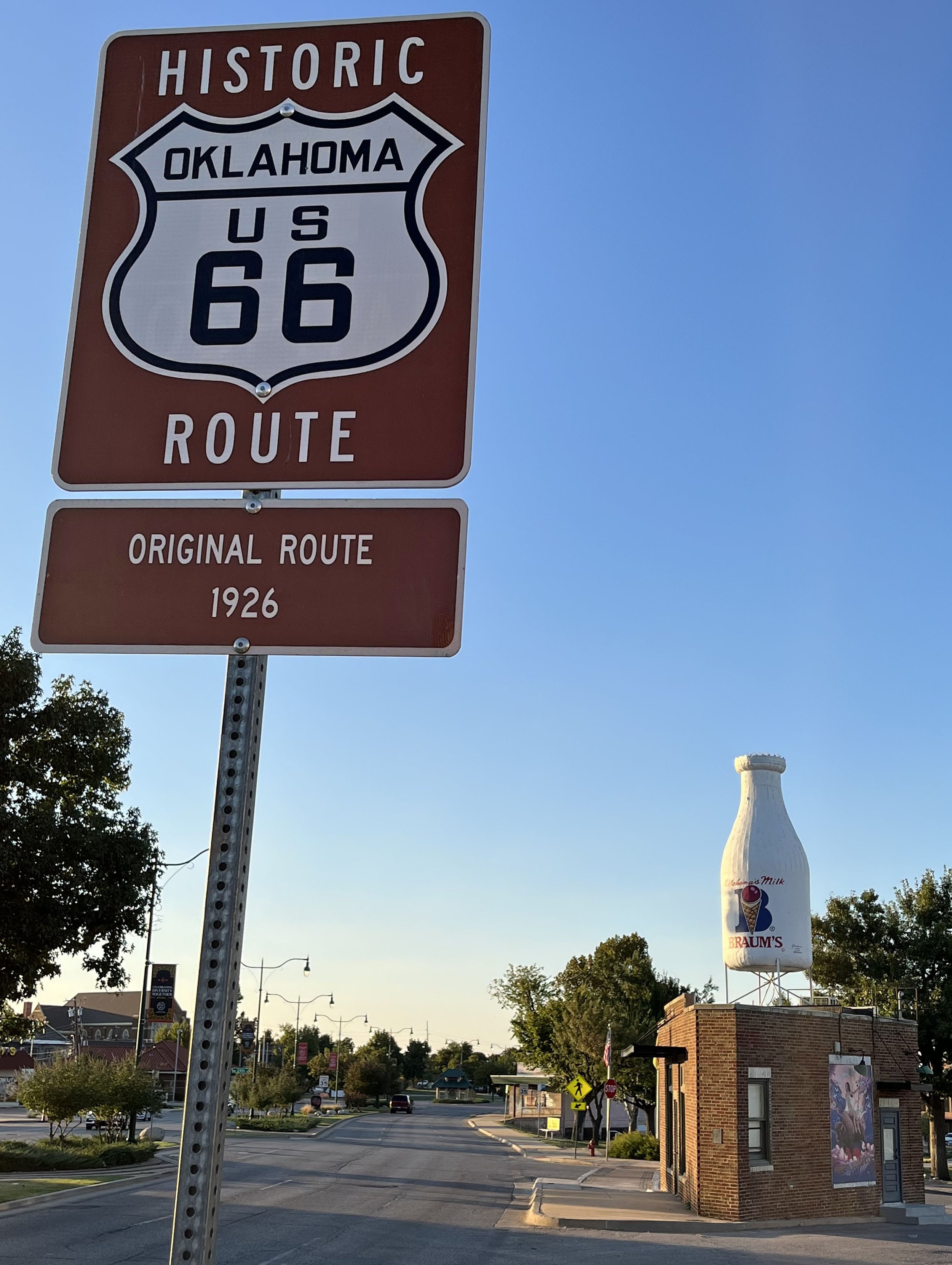
Milk Bottle Grocery (Oklahoma City)
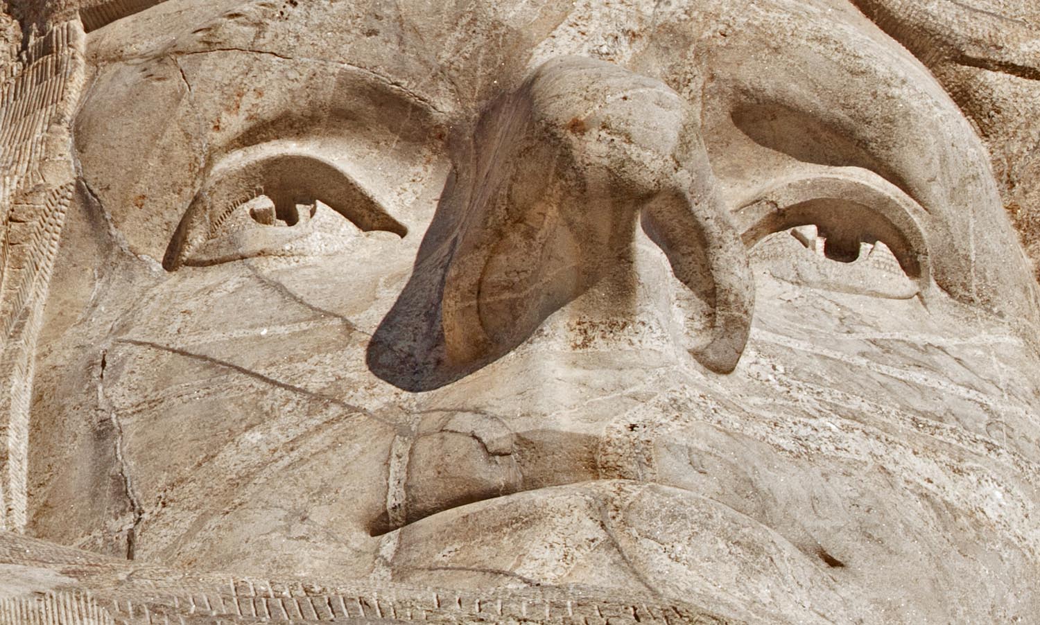
Mt. Rushmore
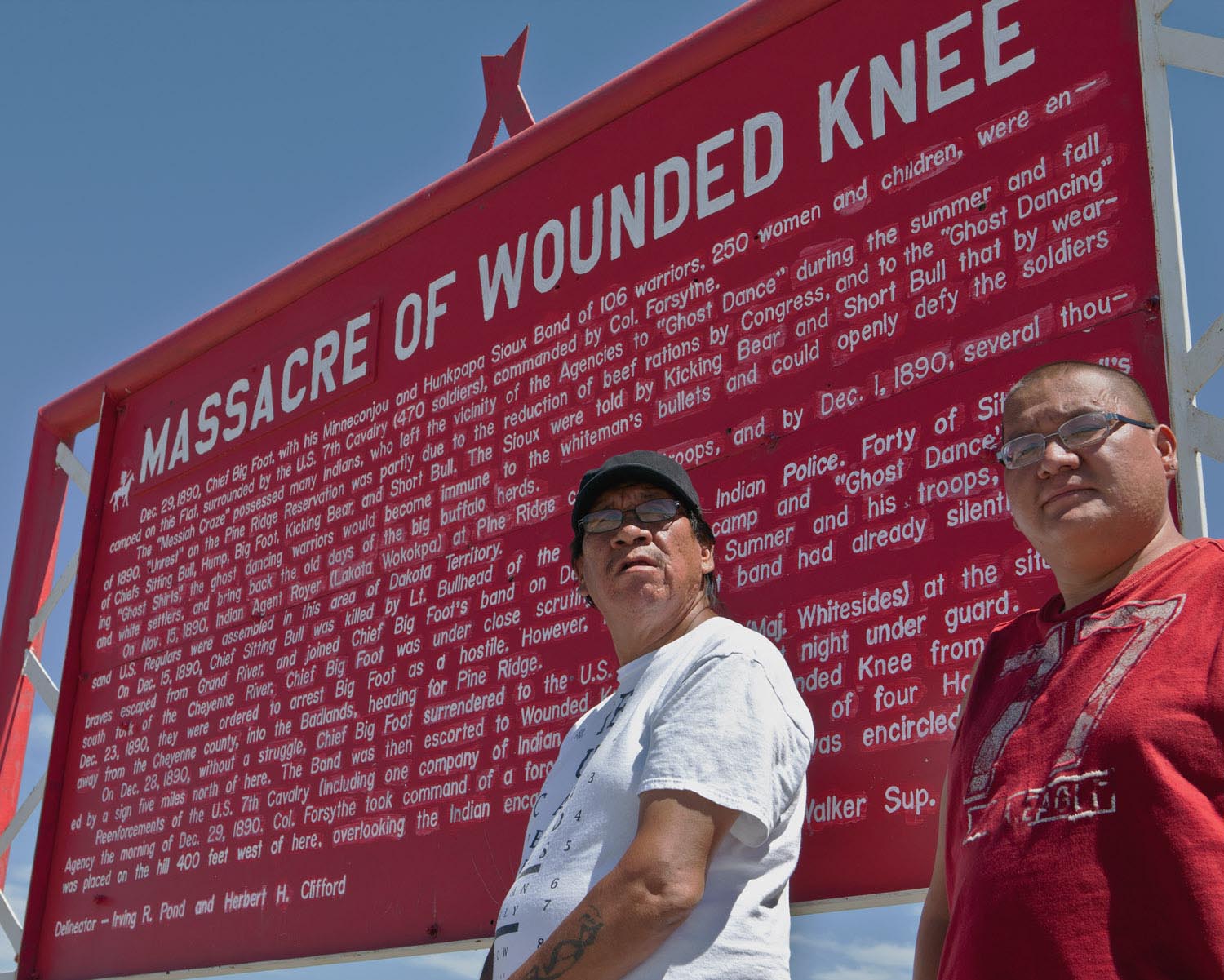
John and Chance High Hawk in Wounded Knee, South Dakota
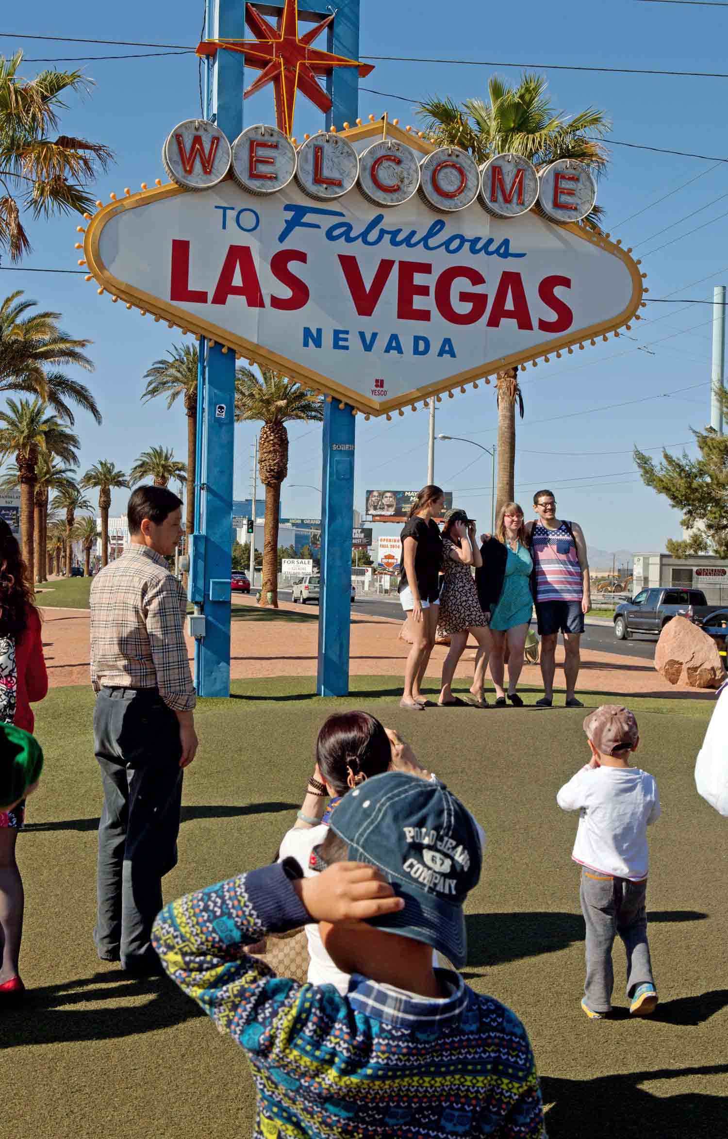
Viva Las Vegas
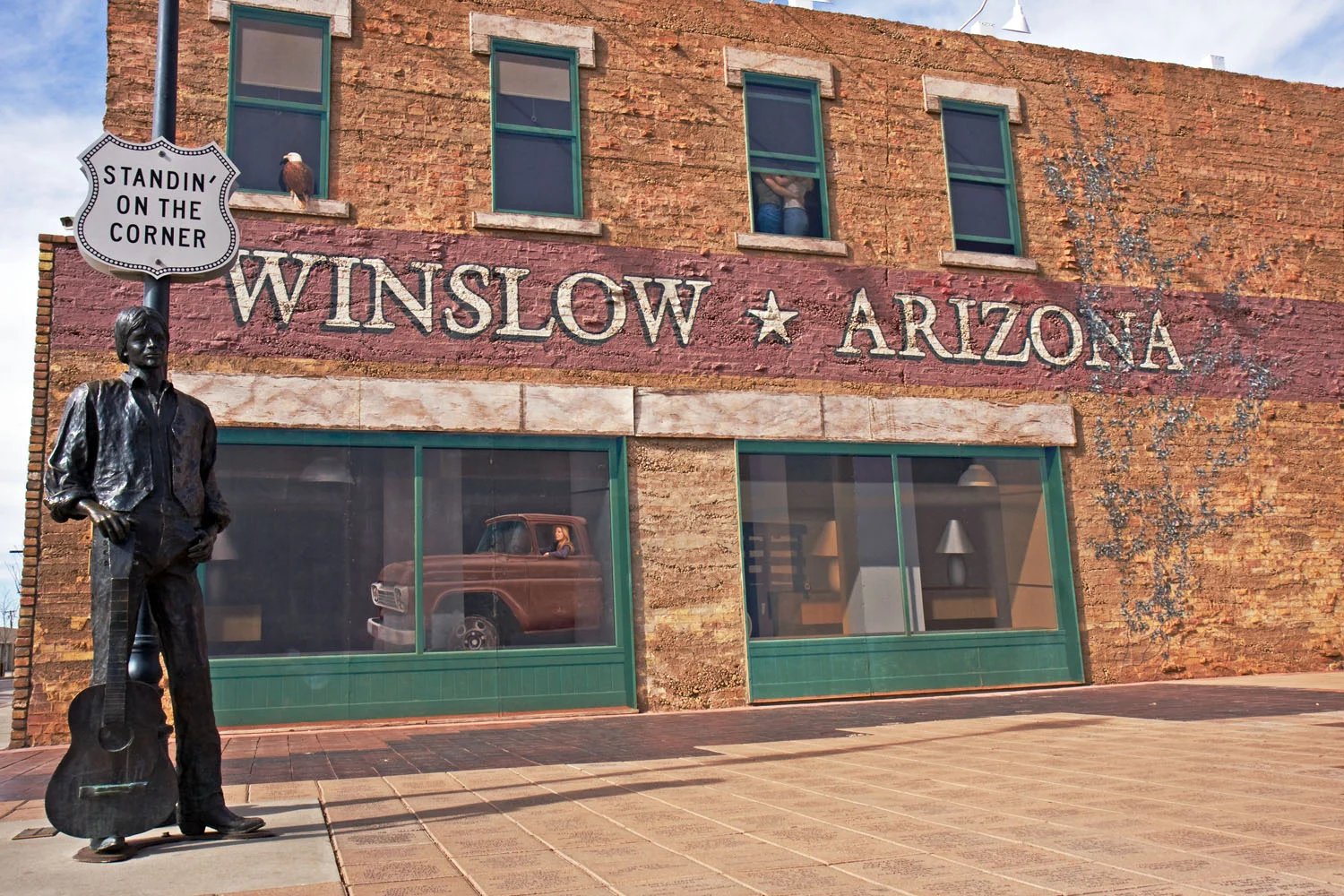
Winslow, Arizona
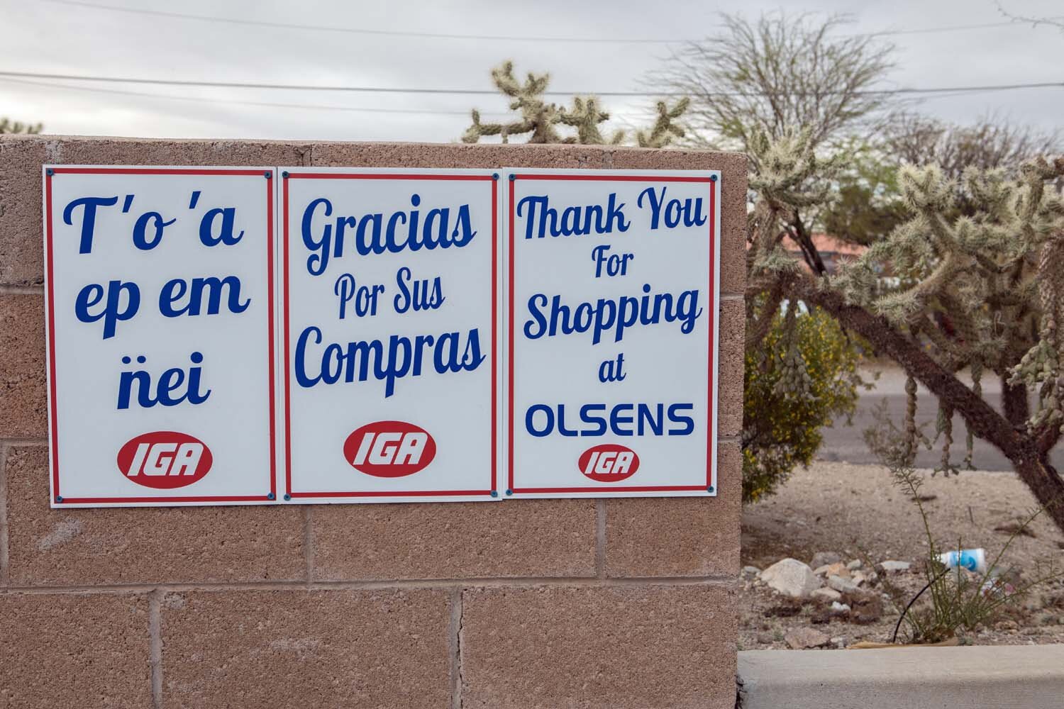
English, Spanish and Oʼodham, the language of the Tohono O'odham Nation (Ajo, Arizona)
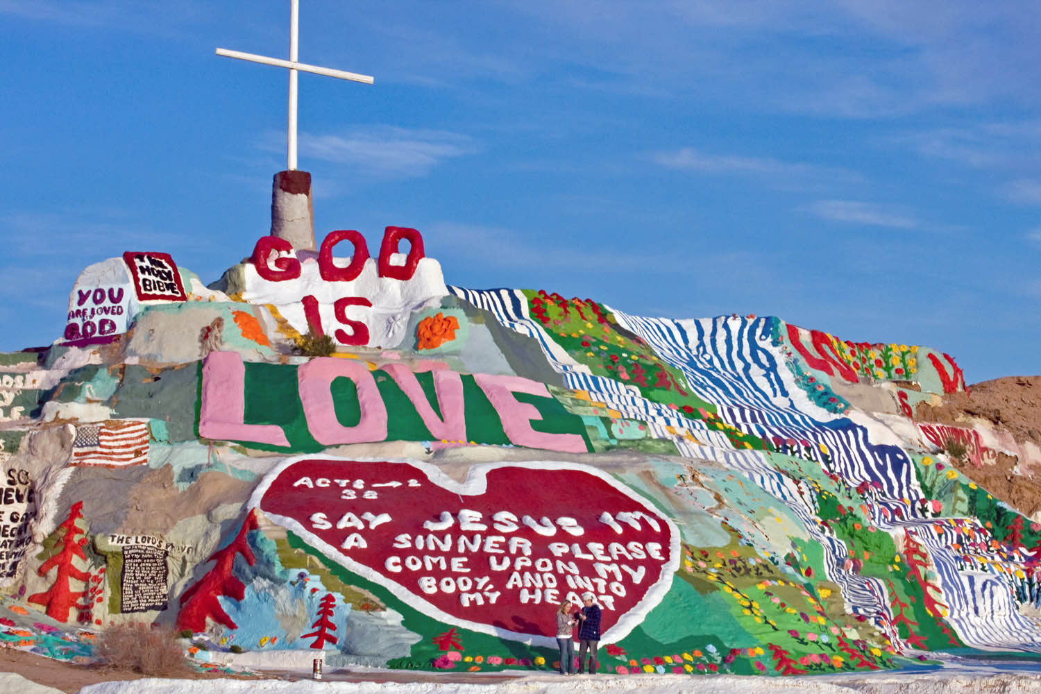
Salvation Mountain (Niland, California)
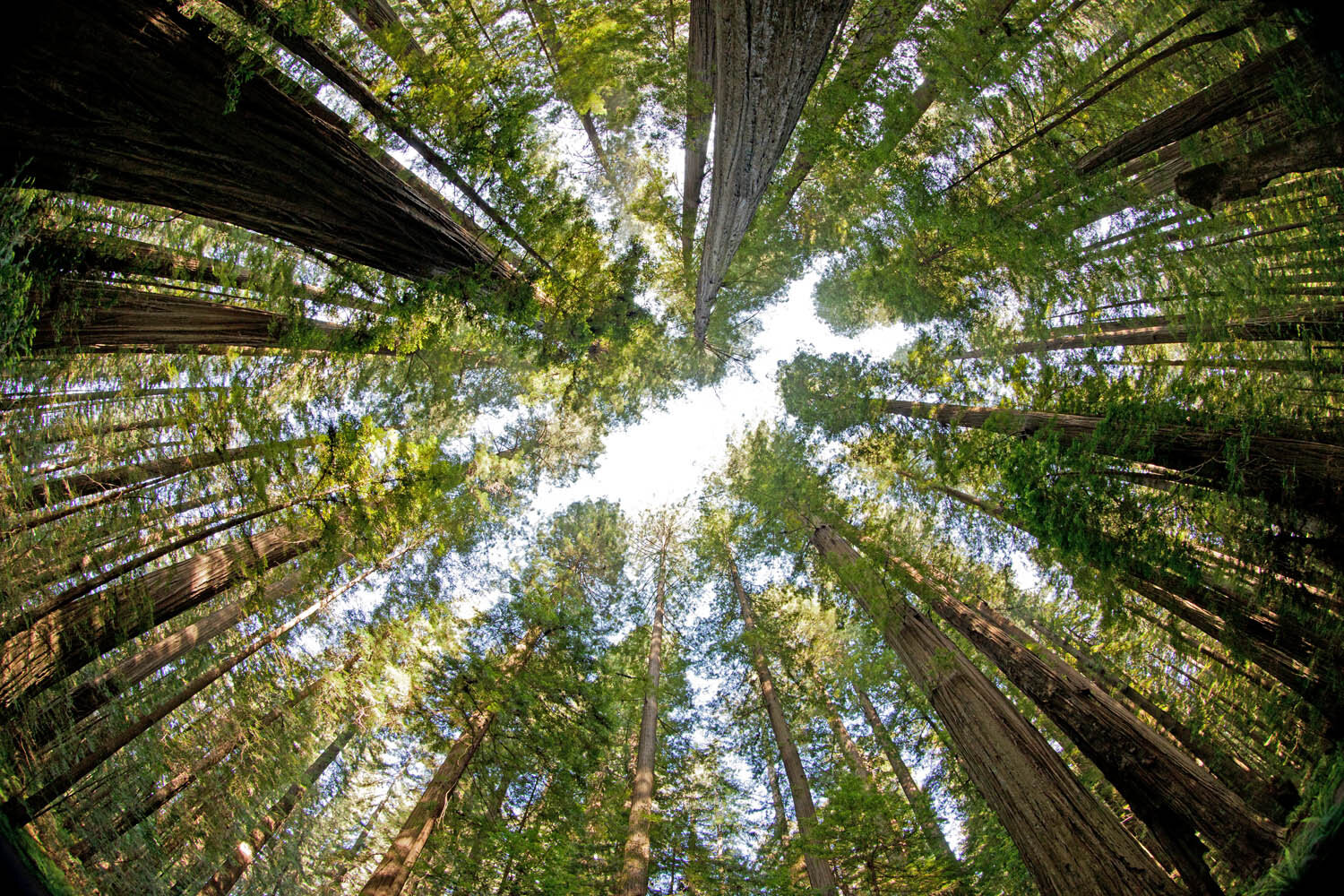
California redwoods
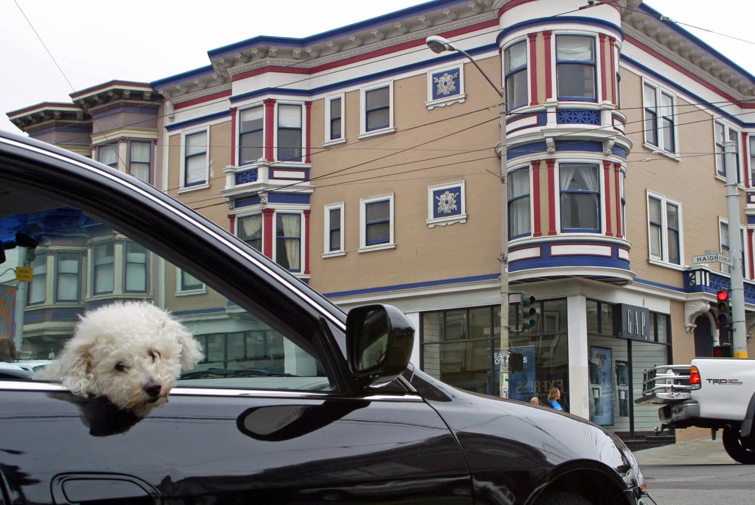
Corner of Haight and Ashbury streets (San Francisco, California)
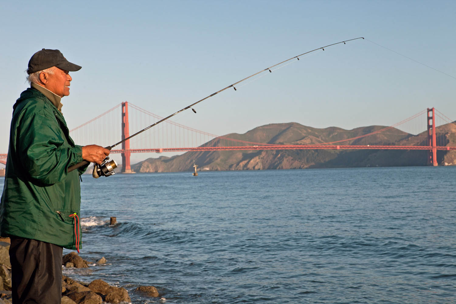
Golden Gate Bridge (San Francisco, California)
As vertical structures on a horizontal landscape, grain elevators are the most visible manmade objects on the prairie. The Great Plains of the U.S. and the Canadian Prairies are punctuated by massive cylindrical-shaped concrete grain elevators used for cleaning, weighing and storing grain. But in the mid-20th century that swath of landscape was dotted by a larger number smaller, wooden grain elevators that symbolized the economic vitality of small farming towns. Those once-ubiquitous structures began disappearing in the U.S. before they did in Canada, where the remaining elevators in the prairie provinces of Manitoba, Saskatchewan and Alberta are viewed as iconic symbols of a bygone era.
They reached their peak in Canada in the 1930s when just about every prairie farming town on a rail line had its own grain elevator—and in most cases, a row of several elevators. They once numbered more than 5,700; but time, weather and economics have whittled that number to a fraction of their heyday.
It’s a case of form following function—the tall buildings contain a vertical conveyor belt with cups or scoops to lift the grain up to separate storage bins, and gravity supplies the means to empty the bins into awaiting rail cars or trucks.
The exteriors, some painted and others clad in tin, bore the names of the towns where they resided and the grain companies or co-operatives that owned a particular elevator, giving them a sense of individual identity. Some were adjoined by annexes for additional storage beyond the elevator’s 30,000- to 40,000-bushel capacity.
The Canadian Prairies farming economy remains vital, but the rise of mega-farms has contributed to the emptying of small farm towns. Fewer farmers meant less customers for the local service economy. Banks, implement dealers, restaurants, curling rinks and Royal Canadian Legion halls closed in many towns. For some communities, the final blow was the closure of the local school. Meanwhile, the economic efficiency of huge concrete grain elevators—a modern grain elevator does in an hour what a traditional wooden grain elevator can do in a day—made wooden grain elevators commercially obsolete. The railroads eventually abandoned their feeder lines into scores of small towns, essentially spelling the end of wooden elevators as commercially viable entities. Those that remain are often privately owned storage facilities. Some towns, such as Inglis, Manitoba, and Nanton, Alberta, have saved their elevators as cultural artifacts and heritage sites. Many elevators are simply abandoned and left to slowly decay before eventually being torn down or burned down—the latter a not uncommon fate for structures made of wood and laden with explosive grain dust.
The huge concrete elevators are monolithic and charmless—a brutalist touch on the prairie compared with the homespun poetic grace of traditional wooden elevators. There’s something exciting, in a fundamental and earthy way, about driving along an arrow-straight prairie highway or off-the-beaten-path gravel road when an old grain elevator appears in the distance. Despite changing times, these prairie sentinels retain a timeless appeal.
Culross, Manitoba
Craik, Saskatchewan
Ghost town of Dankin, Saskatchewan
Dankin, Saskatchewan
Mentmore, Manitoba
Mentmore, Manitoba
Kenaston, Saskatchewan
Midale, Saskatchewan
Frobisher, Saskatchewan
Nanton, Alberta
Oberon, Manitoba
Prelate, Saskatchewan
Inglis, Manitoba. This row of preserved grain elevators is a national historic site.
Deserted “downtown” Snowflake, Manitoba
Snowflake, Manitoba
Wenzel, Saskatchewan
Barnsley, Manitoba
Punnichy, Saskatchewan
Gravelbourg, Saskatchewan
Hodgeville, Saskatchewan
Willows, Saskatchewan
Elbow, Saskatchewan
Napinka, Manitoba
Silverton, Manitoba
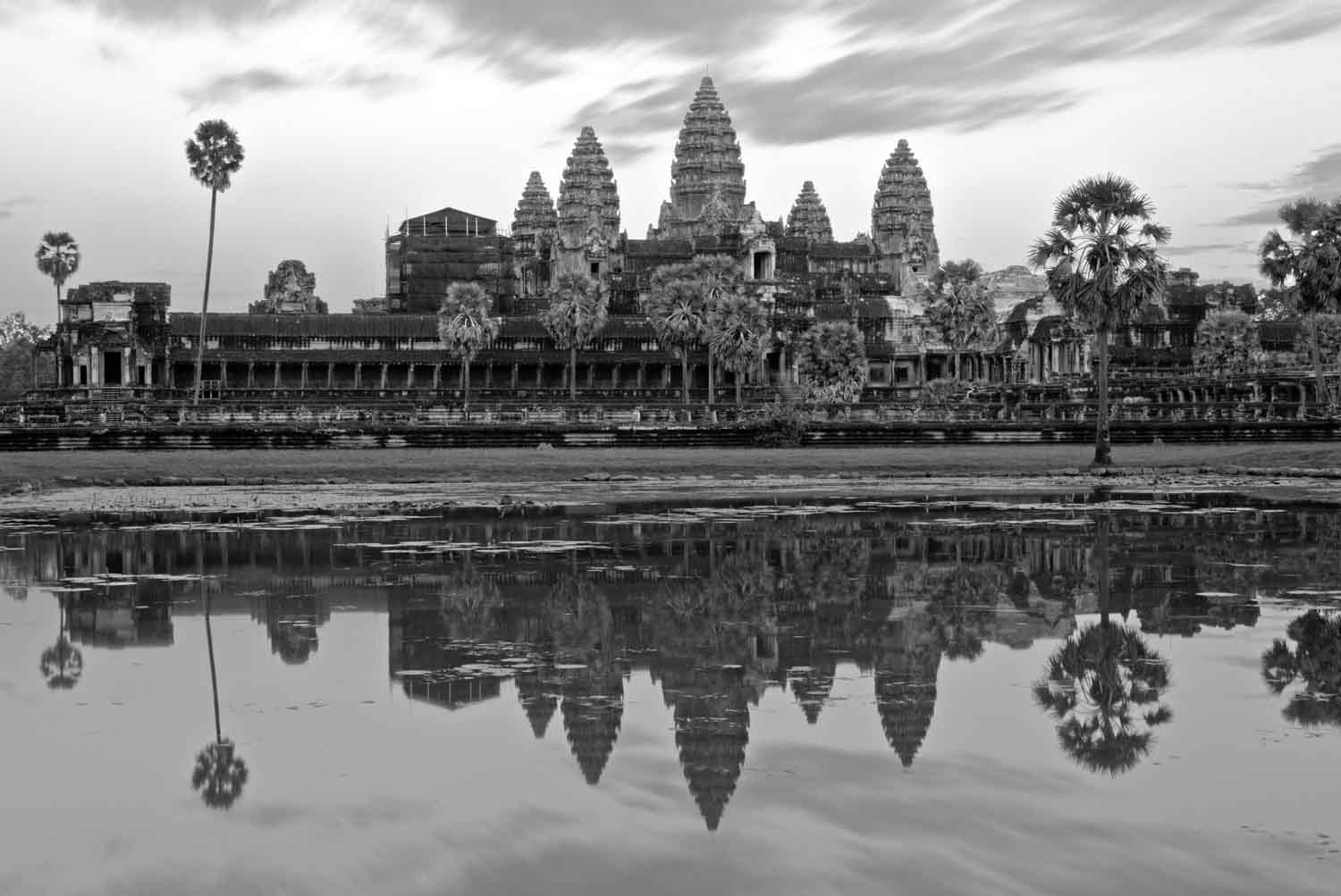
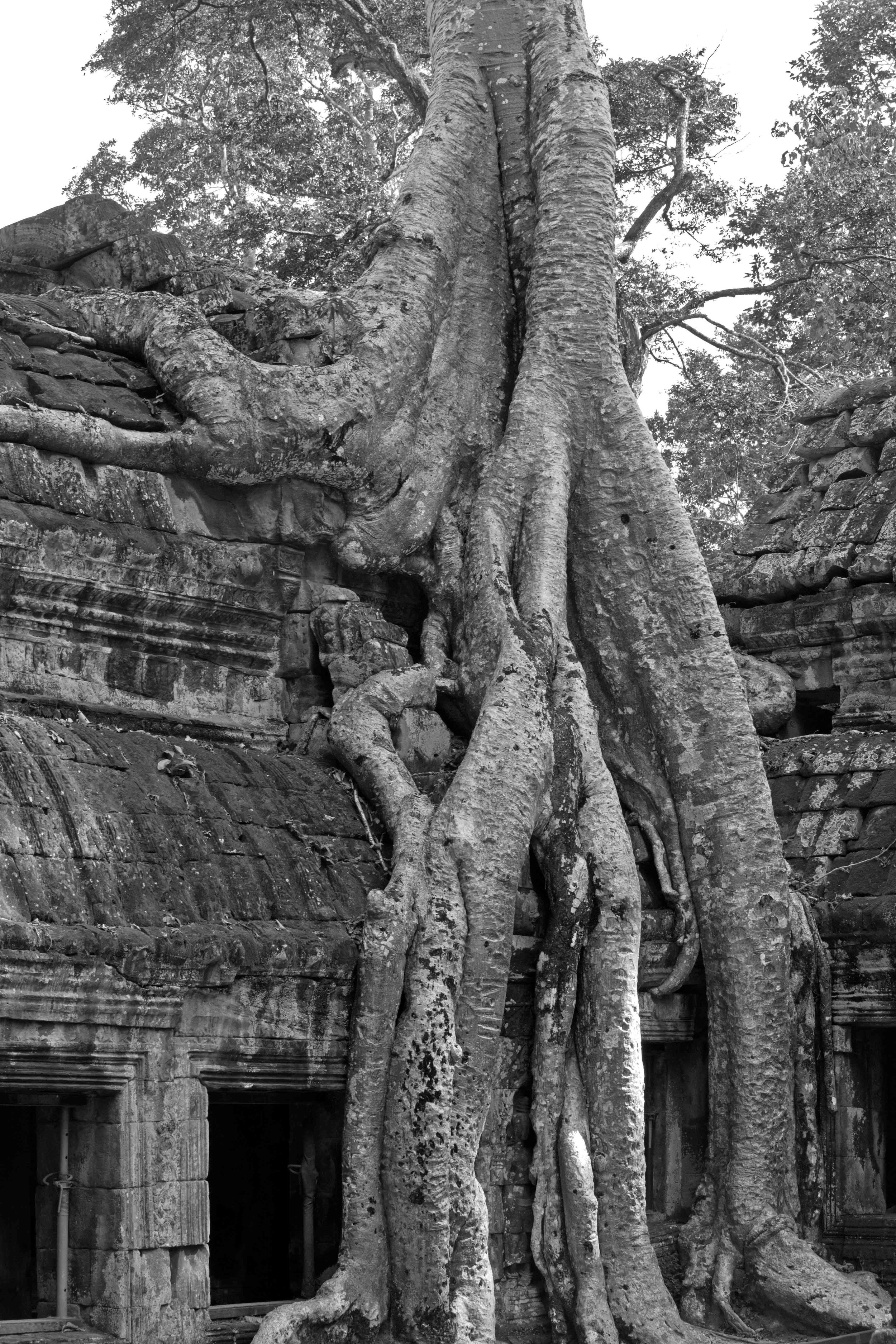
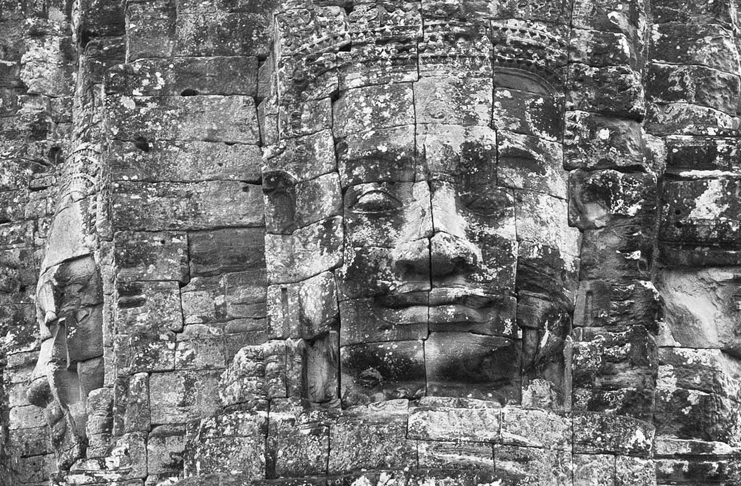
It’s easy to like Cambodians, who by and large are a friendly lot. And it’s easy to like Cambodia, a culturally rich nation whose boundaries resemble a slightly misshapen stone and which possesses a long, somewhat mysterious, if not bifurcated history. The glorious old history and incomprehensibly bad recent history come together at Siem Reap, home to the fabled Angkor Wat temple complex in the country’s northwest. Angkor Wat is just one of many beautiful stone Buddhist and Hindu temples—along with other structures—built by the Khmer Empire that ruled from the 9th through the 15th centuries. Despite the ravages of time and the humidity of a tropical forest location that have taken a toll and left the buildings crumbling in places, blackened by mildew and, in some cases, eerily covered by overgrown banyan trees, the Angkor Archaeological Park just outside of Siem Reap is a global treasure that is a reminder of a once-great empire.
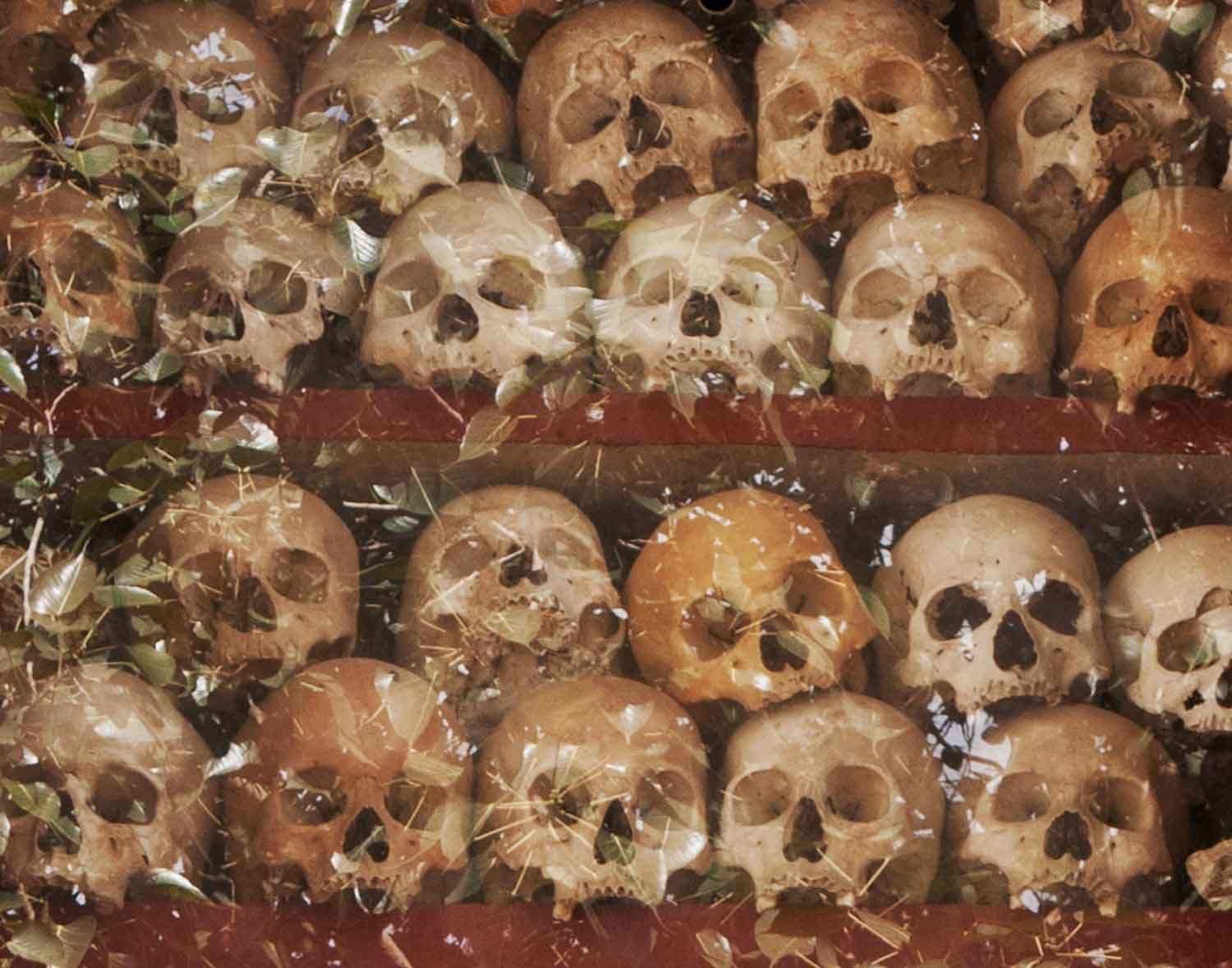
In town, at the Wat Thmey monastery, there’s a glass-encased, red-painted memorial stupa crammed with the skulls and bones of people who died during the Khmer Rouge period in the 1970s. Photographs from that era line a corridor on the temple grounds, accompanied by descriptions beneath them that tell of life during the Cambodian holocaust. It’s estimated that about 1.7 million people, or 21 percent of Cambodia’s population were either killed, starved to death or worked to death during this period—giving rise to the notorious “killing fields.” How did Pol Pot and the Khmer Rouge happen? How could they have hijacked this country and implemented a regime of fear and murder? It’s almost inconceivable, until you stare at the skulls and bones that fill the glass-encased memorial at Wat Thmey. Or until you see people begging on the streets who’ve lost limbs from the myriad land mines planted in Cambodian soil by both sides during the civil war that ultimately drove the Khmer Rouge into exile.
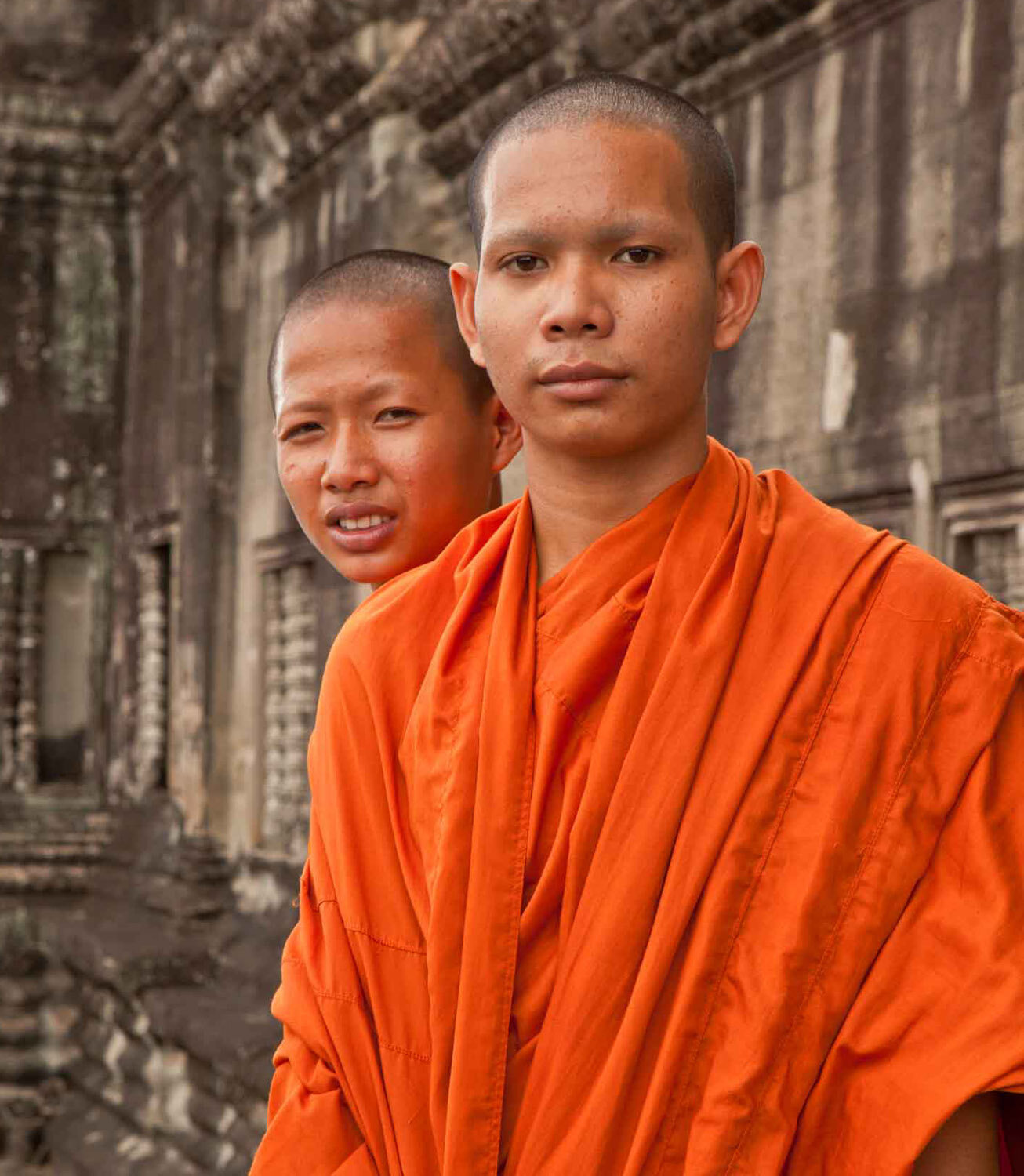
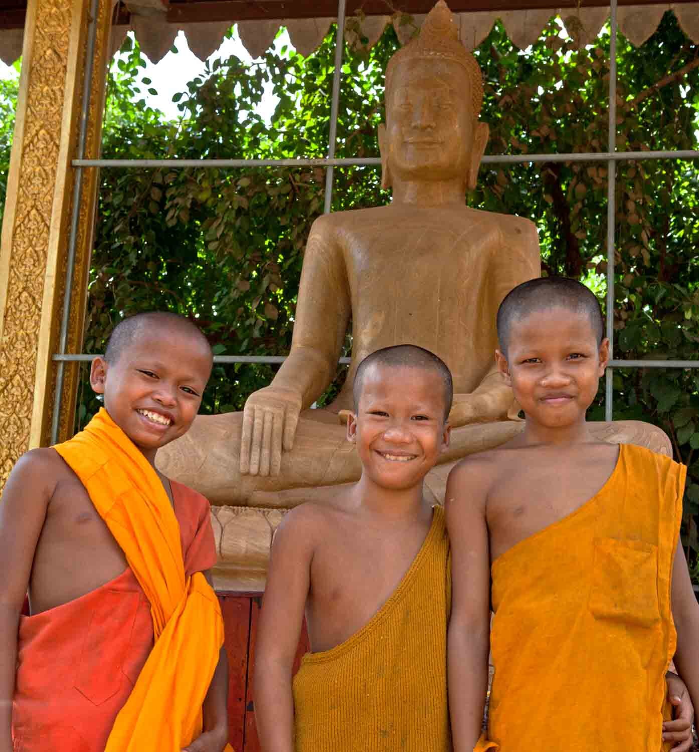
At Wat Thmey, I was approached by three young monks who looked to be about 10 to 12 years old. One was rather brazen—if not cocky—in a humorous way. He rattled off a few words in English and flashed an impish grin as he stuck out his hand to imply he was looking for some kind of handout. They gladly posed for a photograph, and I wondered if they fully understood the enormity of the Khmer Rouge period, which to them might seem as remote as the Angkor period from so long ago.
Angkor Wat
Two monks at Angkor Wat
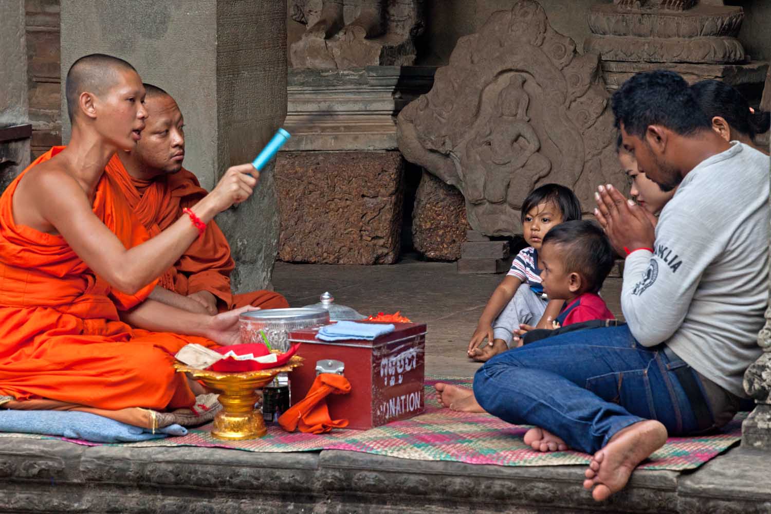
Blessing at Angkor Wat
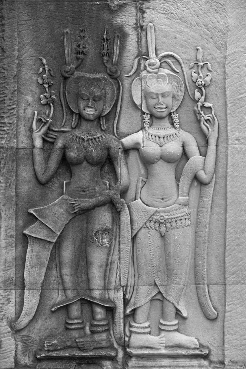
Asparas, beautiful dancing girls from Hindu mythology, on the wall at Angkor Wat
Banyan tree at Ta Prohm, a Buddhist temple built in the late-12th century/early-13th century period.
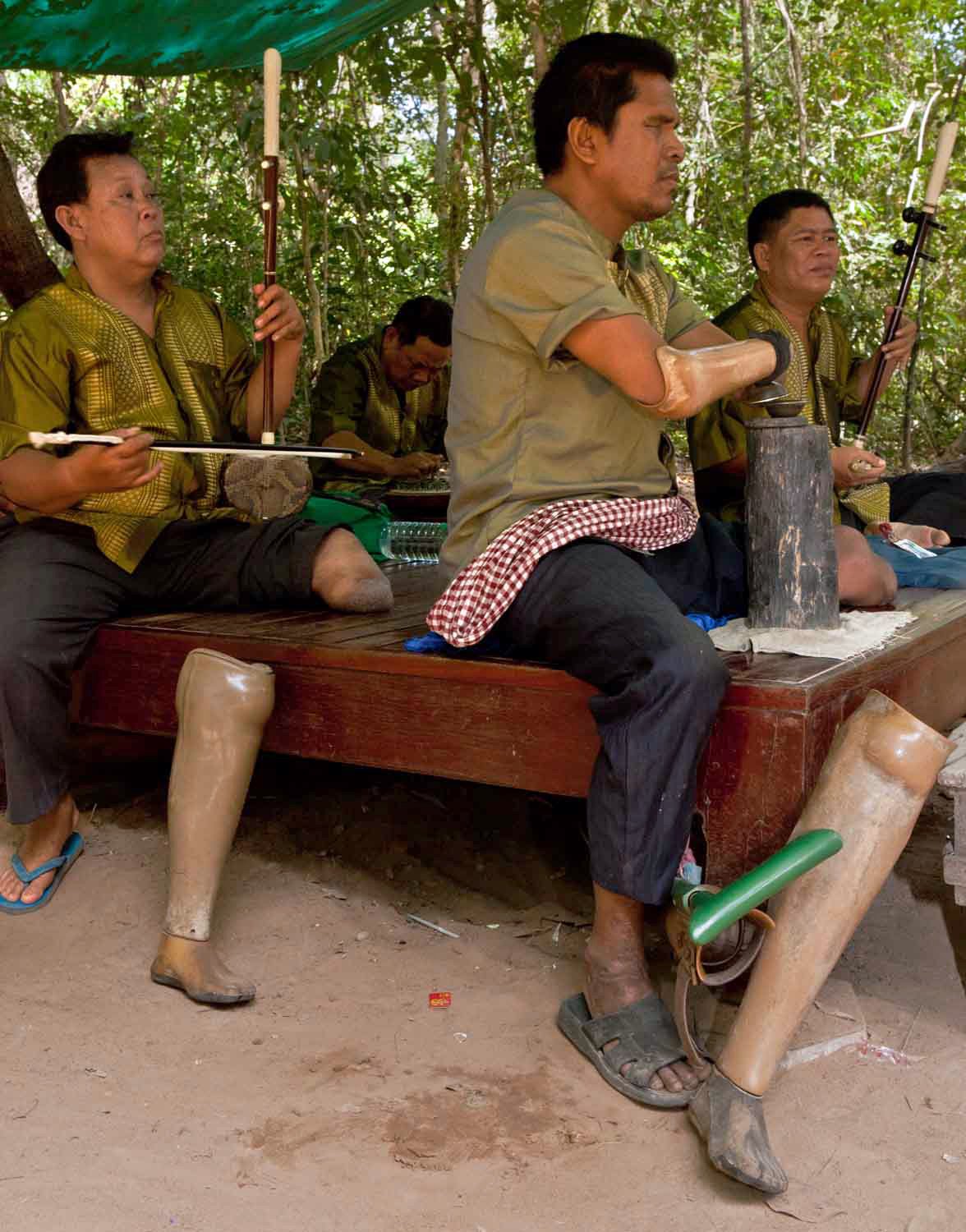
A musical ensemble comprised of mine victims perform at Ta Prohm.
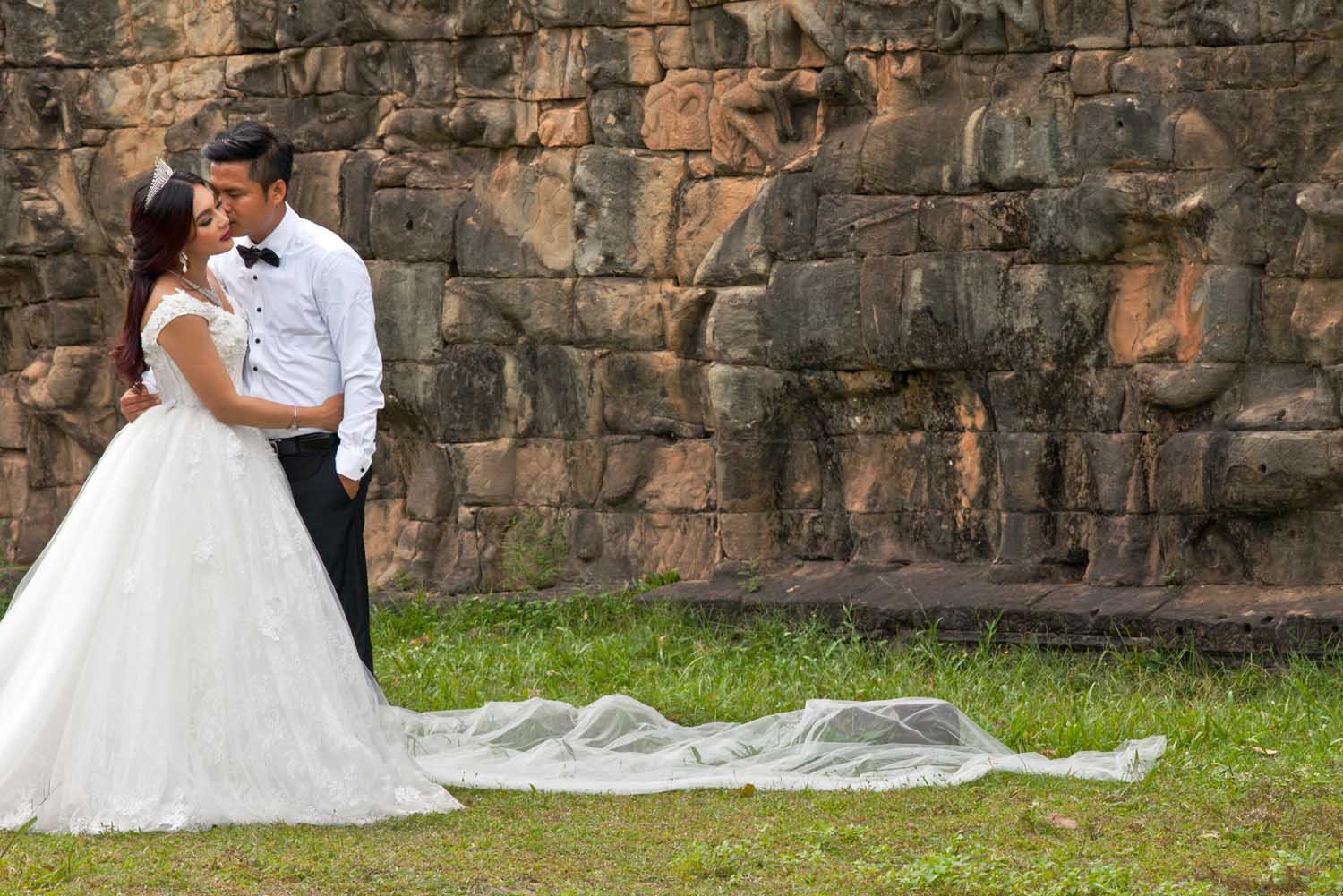
Wedding at Angkor Thom
Banyon Temple
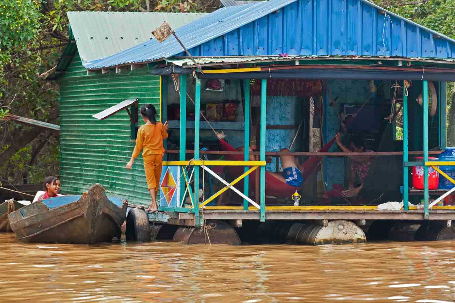
Tonle Sap floating village
Tonle Sap floating school
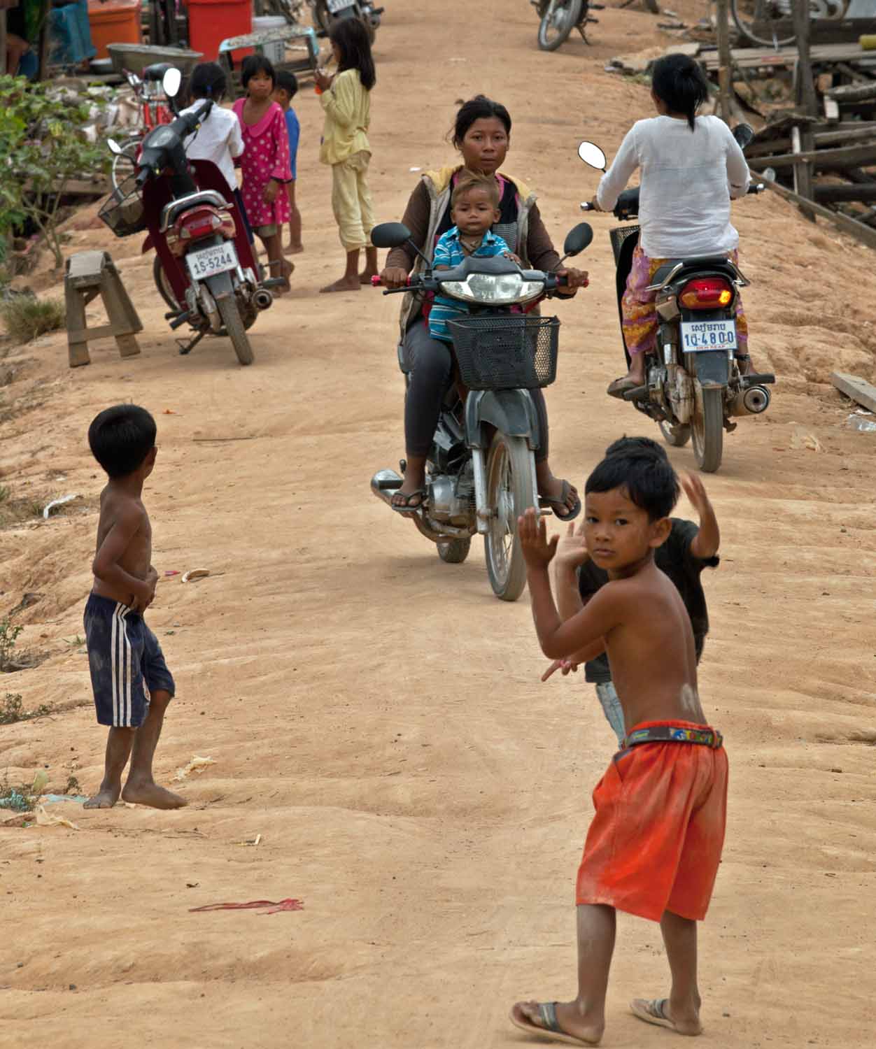
Village near Tonle Sap
Wat Thmey killing fields museum in Siem Reap
Young monks at Wat Thmey
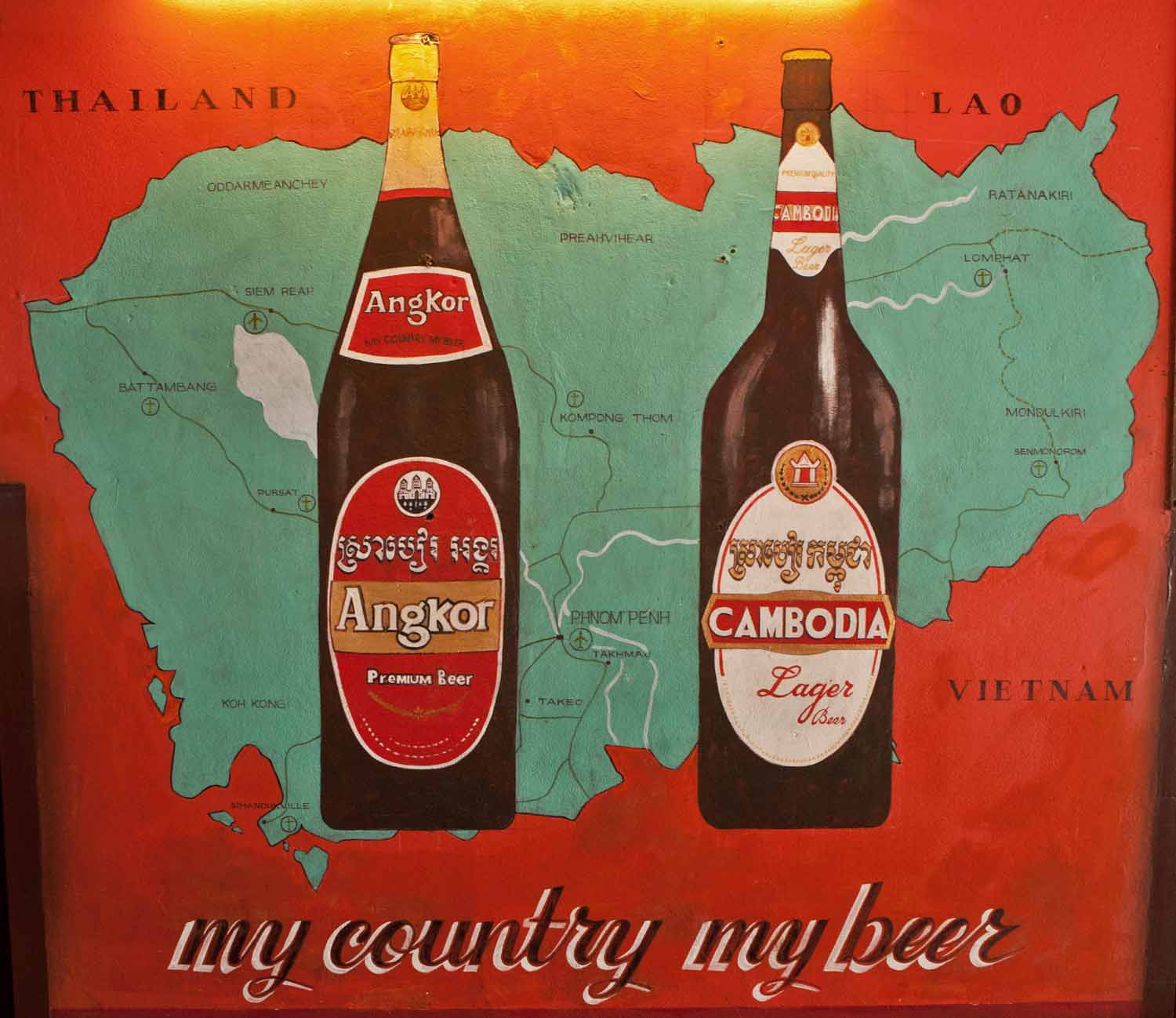
Beer advertisement in Siem Reap
I had a front-row view to Rome’s colorful and evocative history as I stood at the fountain in front of the Pantheon, perhaps the best-preserved monument from Ancient Rome. But I was also fully immersed in the now as I watched the constant flow of people coming and going on the side streets abutting the Pantheon. The line to get into the Pantheon on this Sunday was long but moved quickly. Tourists took photos at the fountain where I stood. The cafés and restaurants lining Piazza della Rotonda were packed. The June air was very warm—but pleasantly so—in the powerful early-afternoon sunshine under a spotless sky. I was enjoying the cooling pleasure of an Oreo gelato in a large cone.
Three words came to mind—La dolce vita! “The sweet life.” Or, “The good life.”
The phrase is the title of a Fellini film, and it’s an expression that conjures images of Rome and Italy in the 1960s: of jetsetters enjoying Mediterranean beaches; of fashion, art and a sense of sophistication; the pleasures of Italian food and wine enjoyed with a Roman sense of carefree existence; large blue-and-red Cinzano umbrellas shading outdoor cafés; Fiats and Vespas navigating the narrow streets of Rome and winding coastal roads. It was every stereotype I could think of as I was hypnotized under the spell of sun-drenched, timeless Roman pleasure.
Romanticized images, for sure. But I was caught up in the moment and got carried away with myself. After all, this was Rome . . . nothing more needs to be said.
Trastevere
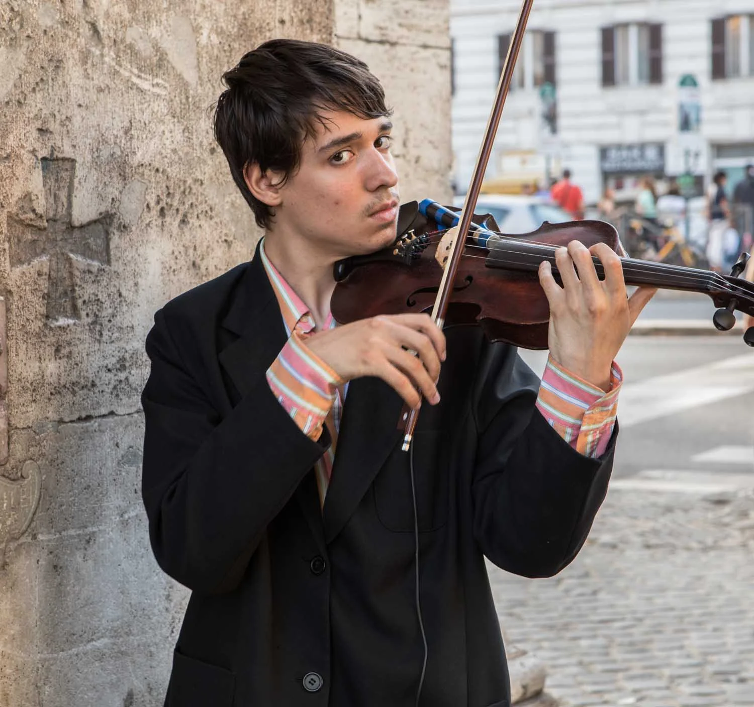
Street performer
Piazza Navona
Vatican City
Pantheon
Fendi
Villa Borghese
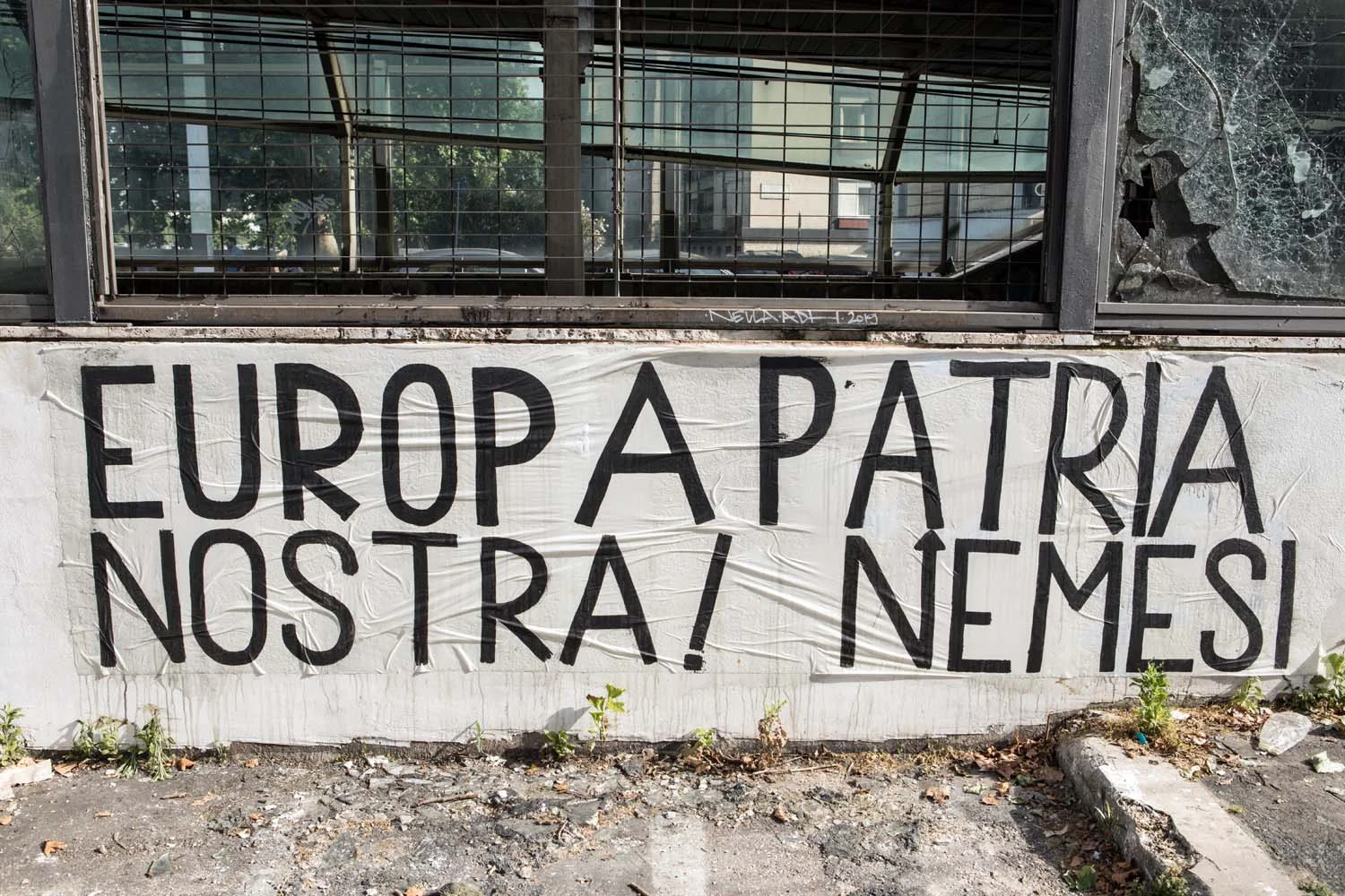
Anti-E.U. banner
Piazza Santa Maria
Villa Borghese
Prati
Prosciutto (Antica Salumeria, on Piazza della Rotonda)
Pincio Terrace view (Piazza del Popolo and St. Peter’s Basilica)
St. Peter’s Basilica
Papal altar, St. Peter’s Basilica
Pope Francis
Winnipeg, Manitoba
Elbow, Saskatchewan
Highway 19, Saskatchewan
Sydney Opera House (Australia)
Mime on stilts (Buenos Aries)
Kimball, Nebraska
State line (Pine Bluffs, Wyoming)
Jenny Lake, Grand Tetons National Park (Wyoming)
Prairie dogs in Wyoming
Lepanto, Arkansas
Waiting for mother beneath my kitchen window.
Roosevelt elk in Redwood National and State Parks along the northern California coast
Sandinista mural (León, Nicaragua)
Lviv, Ukraine
Fez, Morocco
Gardiner, Maine
North Beach (San Francisco, California)
Green Street (San Francisco, California)
Oculus, World Trade Center transportation hub (New York City)
Painted Hills (Oregon)
Mesquite Flat Sand Dunes (Death Valley, California)
Trinidad, California
Las Vegas, Nevada
Trenton, New Jersey
Wildwood, New Jersey
Syrup on sale
Separation Wall in Bethlehem in the occupied West Bank
Stairwell at The Photographers’ Gallery (London)
Words of wisdom, Canadian Human Rights Museum (Winnipeg, Manitoba)
Autumn sunset
Dandelion
Bridge
Tin foil
Sunflower seeds
Azalea
Crocus
Pittsburgh, Pennsylvania
Mt. Rushmore (20-second exposure)
Hoops
Man watching tango show at Confiteria Ideal (Buenos Aries)
Glass
Serrated knife
Corkscrew
Colander
Chicken fat
Oyster cracker
Romanesco broccoli
Glass ceiling
Paperweight
Bee in zucchini flower
Caterpillar devouring tomato
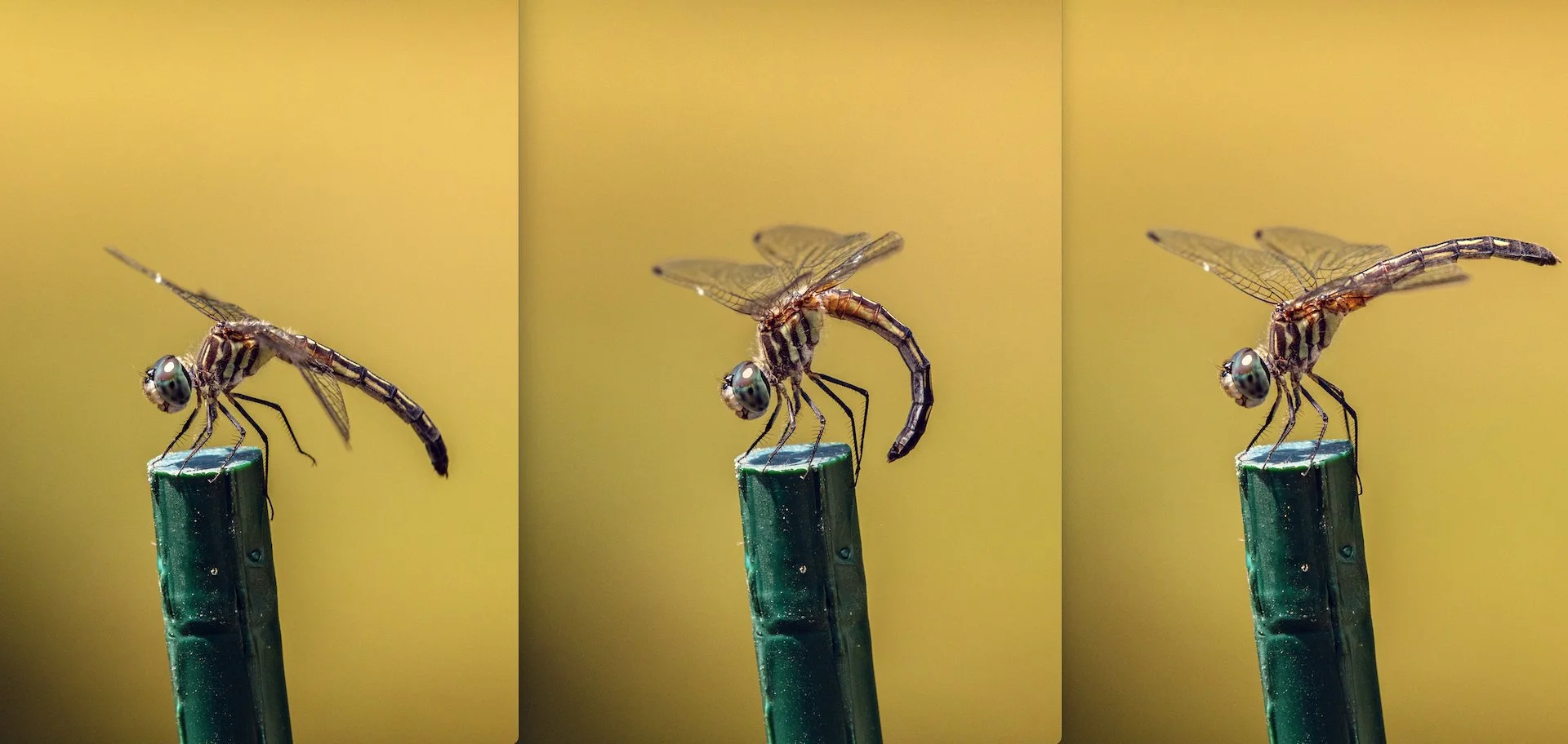
Grasshopper
Monarch butterfly caterpillars feasting on a butterfly weed leaf
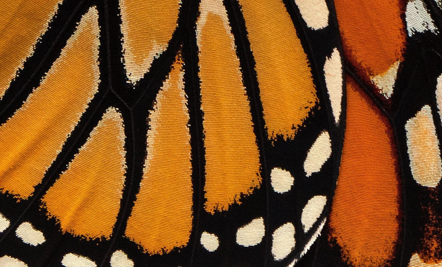
Monarch butterfly
A skipper (member of the lepidopteran family that’s considered an intermediate form between butterflies and moths) flashing its proboscis
Spider
A face only a mother could love
Praying mantis
Meal time
Lady bug
Peacock wandering around Cataract Gorge in Launceston, Tasmania, Australia
Icicle
Window shade blocking the morning sun
Fireplace
Longwood Gardens (Kennett Square, Pennsylvania)
Bayard, Nebraska
Yellowstone National Park
Haretho’s henna tattoos
Nagarkot, Nepal
Xmas candle
Hollywood, Florida
The Covid-19 pandemic has been an event shared by the world, but at a distance of six feet and within closed borders. Mask wearing meant spending more time with our own breath, while compulsory lockdowns meant spending more quality time with our domiciles. With nowhere to go for the good part of a year, the world came to us . . . sometimes in subtle ways we may not have noticed before.
South of Gila Bend, Arizona
Highway 85, Southern Arizona
Organ Pipe Cactus National Monument (Arizona)
Organ pipe cactus
Organ pipe cactus spines
Prickly pear cactus
Woody skeletal frame of cholla cactus
Southern Arizona
U.S.-Mexico border (Lukeville, Arizona)
The Tohono O’odham nation’s traditional homeland in the Sonoran Desert of southern Arizona and northern Mexico is divided by the U.S.-Mexico border wall.
Immaculate Conception Church (Ajo, Arizona)
Ajo, Arizona
Bob Hightower, historian at the visitor center of the New Cornelia Open Pit Mine in Ajo, Arizona. He says he worked four decades at the mine, which is now closed.
Bobcat
Saguaro National Park (Arizona)
Saguaro National Park
Barrio Viejo (Tucson, Arizona)
Las Cruces, New Mexico
Truth Or Consequences, New Mexico
Lyman Whitaker wind sculptures, Wiford Gallery (Santa Fe, New Mexico)
Photographer David Benjamin Sherry at the Organ Mountains in New Mexico. The Santa Fe-based artist uses large-format film photography to, as he says, challenge and reinvigorate the American Western landscape tradition.
Painted Desert Indian Center, Old Route 66 (Holbrook, Arizona)
Truckers Chapel at Hopi Travel Plaza, I-40 (Holbrook, Arizona)
Twin brothers, former NBA All-Stars and current artists Dick (left) and Tom Van Arsdale at their gallery in Scottsdale, Arizona.
Lemon tree litter (Phoenix, Arizona)
White Sands National Park’s gypsum sand dunes are a blank-slate canvas that are almost chameleon-like as they change color throughout the day to reflect the changing light spectrum. Roseate, orangey or bluish during the “golden hours” of sunup and sundown, and white to light-brown under a full sun. The park doesn’t have the roughly 275-square mile dune field in the northern reaches of the Chihuahuan Desert in southern New Mexico all to itself, however. More than half of it belongs to the White Sands Missile Range, and the park is typically closed twice a week for one to two hours during missile range tests.
It’s an odd juxtaposition between the sacred and profane, as it were. But the sacred half of this large sandbox is sublime. The park’s one and only road runs roughly eight miles to its end at the Alkali Flat Trail parking lot. Along the way the asphalt surface becomes covered with white gypsum sand, and in places the hard-packed, sand-covered road has the bumpy feel of corduroy. That, combined with the small sand dunes bordering the road and the larger sand hills beyond, creates a winter-like scene that reminded me of the snow-covered, rumpled terrain along the Dempster Highway in Canada’s Northwest Territories. It’s a white-sand wonderland. Most park visitors stay close to the road and its several parking areas, where they frolic on the sand and slide down the dunes on saucers. But venture west/northwest away from the crowd for maybe 500 feet or so, and it’s a different scene—fewer people, less-trampled hills, more pristine nature, a greater sense of grandeur, and more quietude. But don’t stop there. Keep hiking up and down the tall dunes and along the crusted basin floor between them. It’s a good workout. The brown, jagged peaks of the San Andreas Mountains frame the scene to the west. People are a rarity, and at times completely out of sight.
I was enraptured by the feeling of being alone amid supple sand dunes, muscular mountains, wide-open spaces and endless sky. It’s a great place to be when the missiles aren’t flying.
Arlington Row in the Cotswolds
Fly fishing in the Cotswolds
Pultney Bridge (Bath)
The River Avon (Bath)
The Raven is a great place for a pie and a pint in Bath.
Wells Cathedral
Wells Cathedral
Stonehenge
Yorkshire Dales National Park
The Old Post Office in Ingleton, North Yorkshire. The town’s former post office till 2014, it was converted into a quiet, cozy micro bar. That’s what it was when I visited in 2018. New owners took it over the next year and evidently turned it into what’s described as a “funky, chic, stylish” bar. Given that, I’m glad I visited it when it wasn’t funky, chic and stylish.
Tim Booth, lead singer of the band James, performing at Baths Hall in Scunthorpe.
Canary Wharf Underground Station (London)
Etta at Etta’s Seafood Kitchen in Brixton (London)
Two older gentlemen and a squirrel on bench in St. James Park (London)
St. Paul’s Cathedral (London)
Abbey Road Studios (London)
Strawberry Field gate (Liverpool)
Museum of Liverpool
“Another Place” on Crosby Beach, Merseyside, north of Liverpool. Another Place is a series of 100 life-size cast-iron statues placed at various spots along a 3-km stretch of Crosby Beach. They all face the Merseyside coastline.
Northern England countryside, 10:30 p.m.
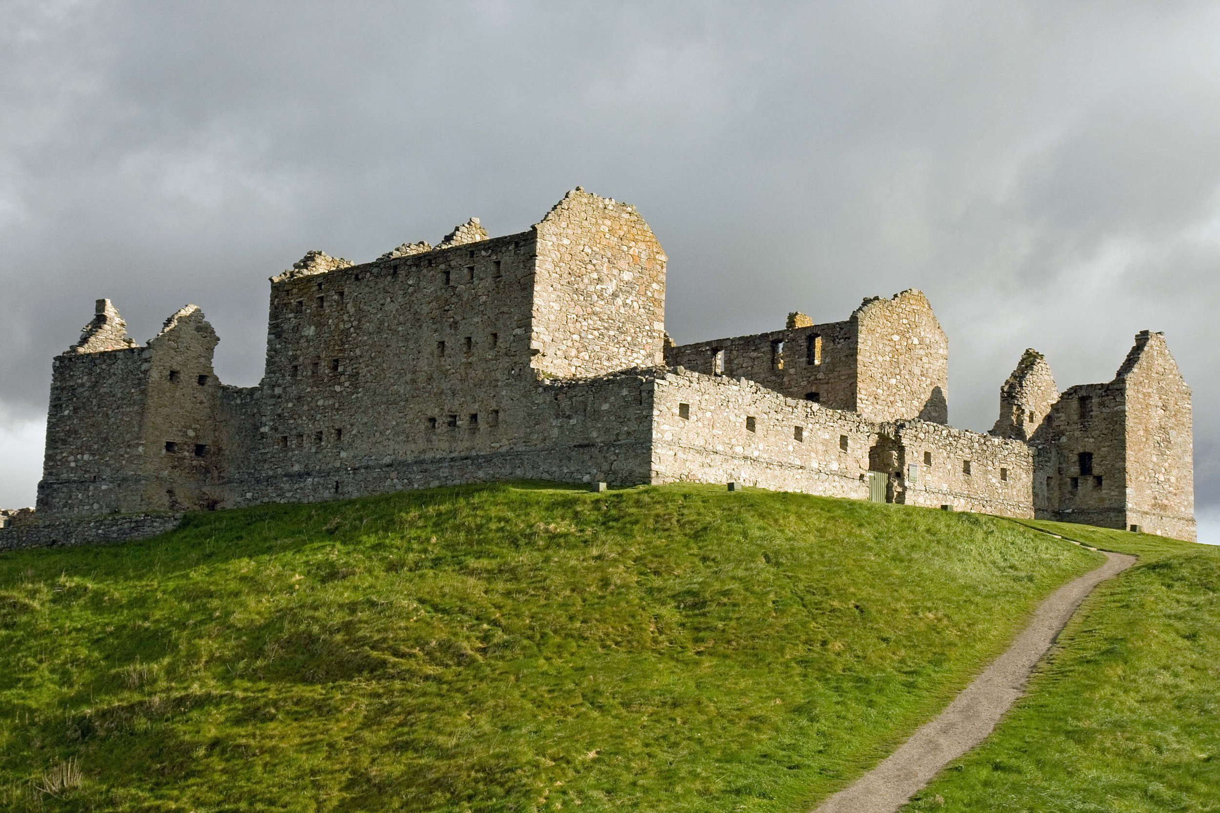
Ruthven Barracks near Kingussie in Badenoch was constructed between 1718 and 1721 after the Jacobite Rebellion of 1715 aimed at restoring the Catholic Stuarts to the throne.
North Sea coast in Arbroath
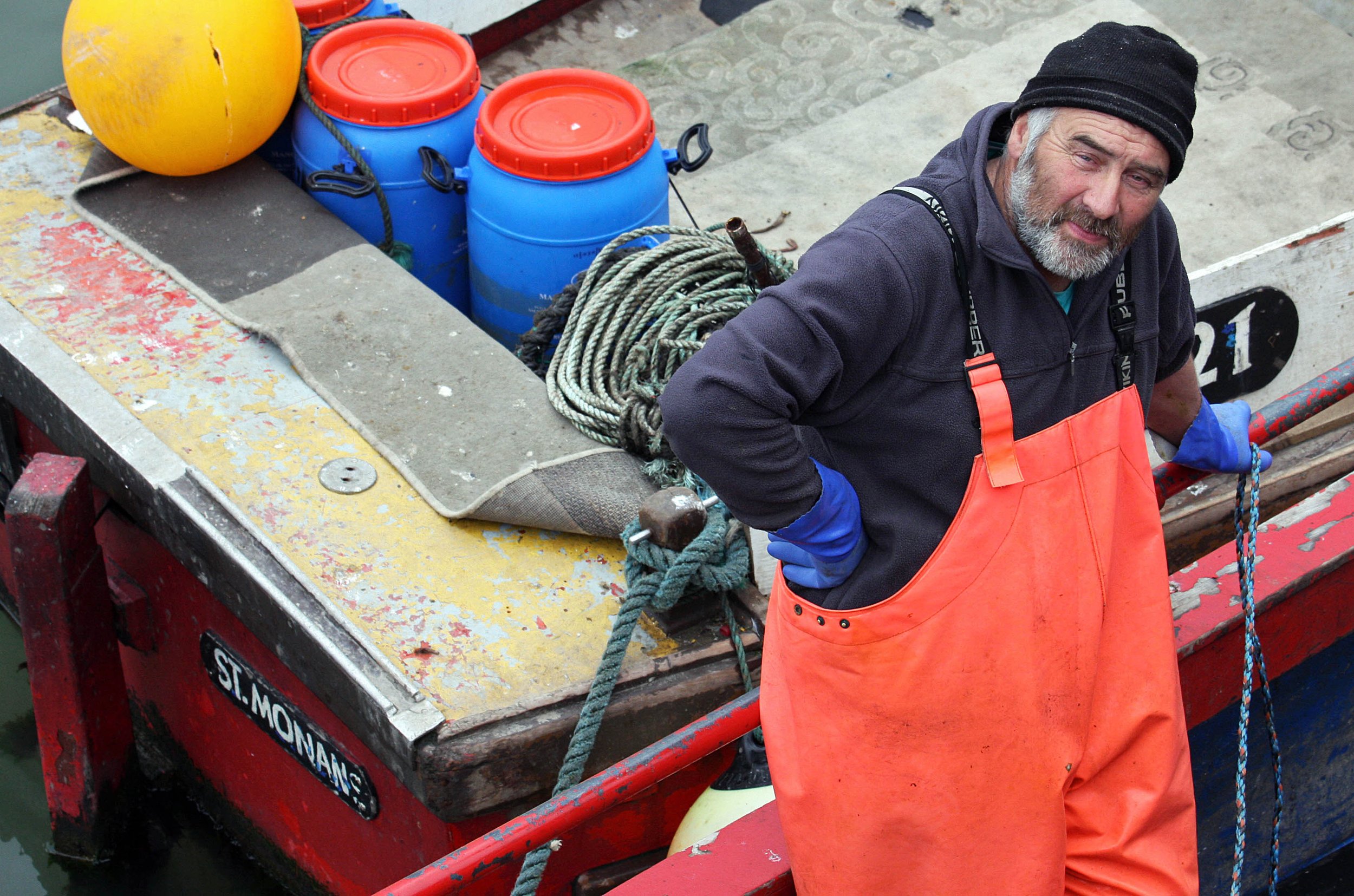
Mike the fisherman in Arbroath
Arbroath
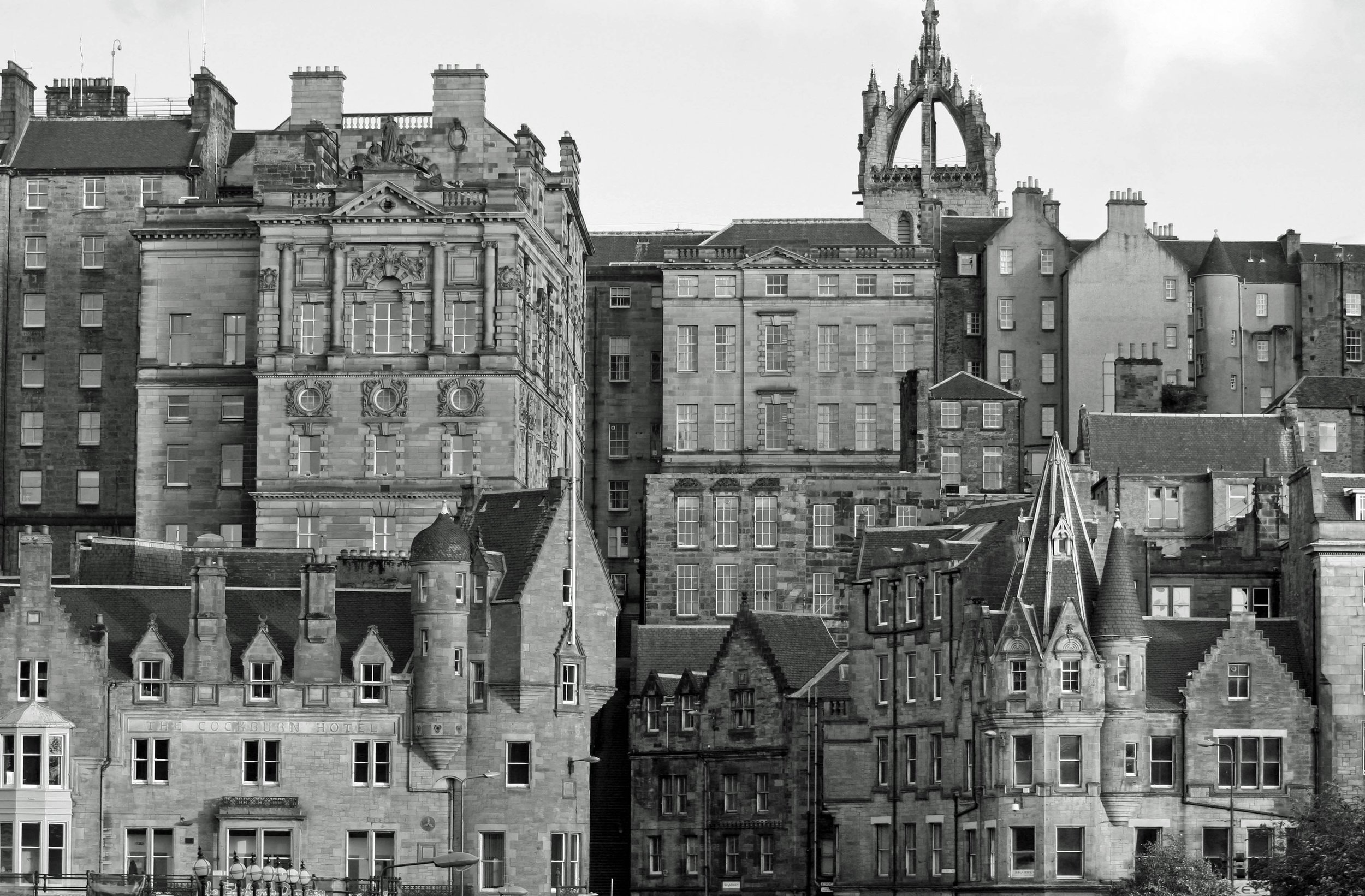
Edinburgh’s Old Town
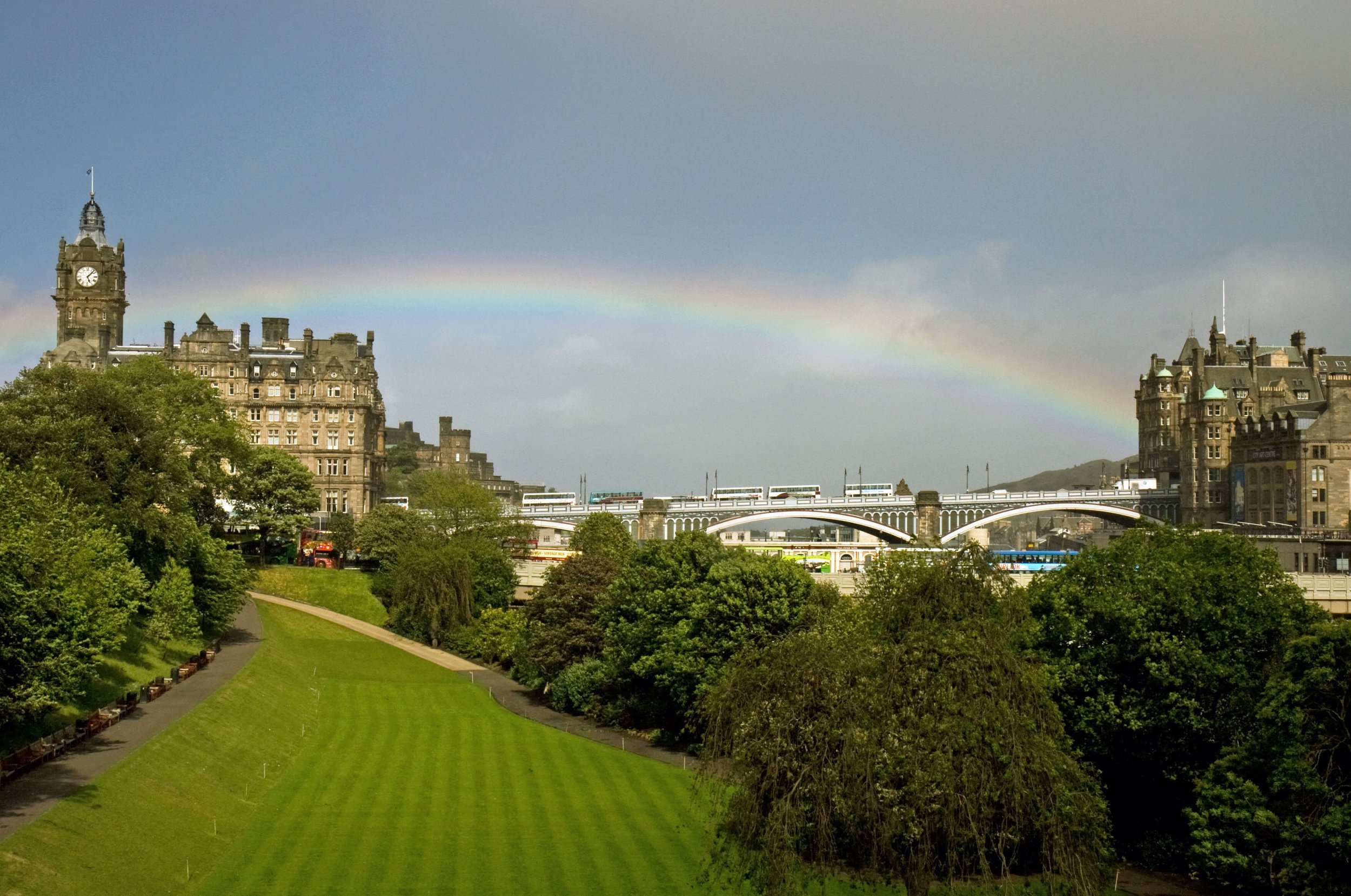
Rainbow over Edinburgh
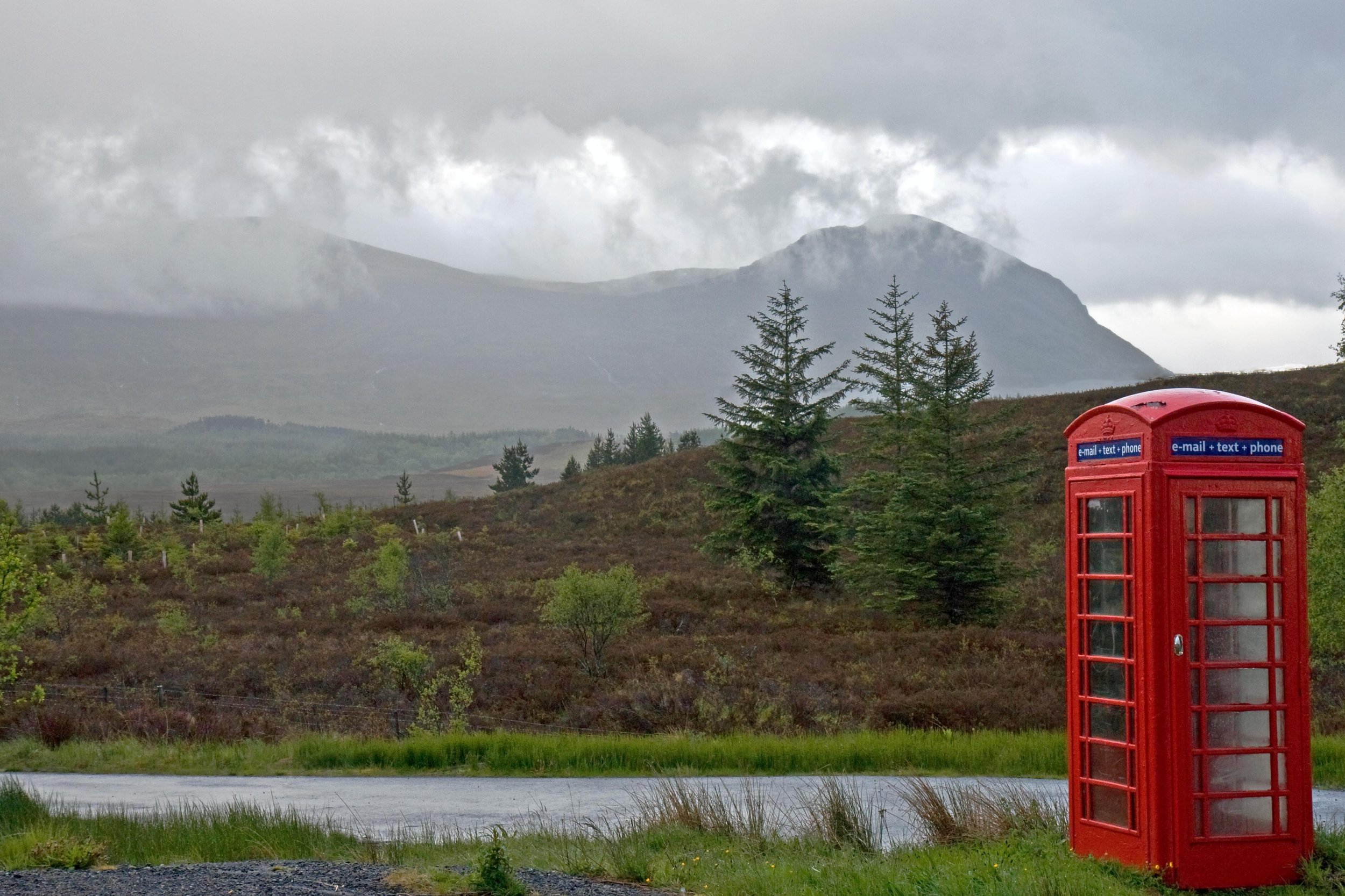
Phone booth in the Highlands
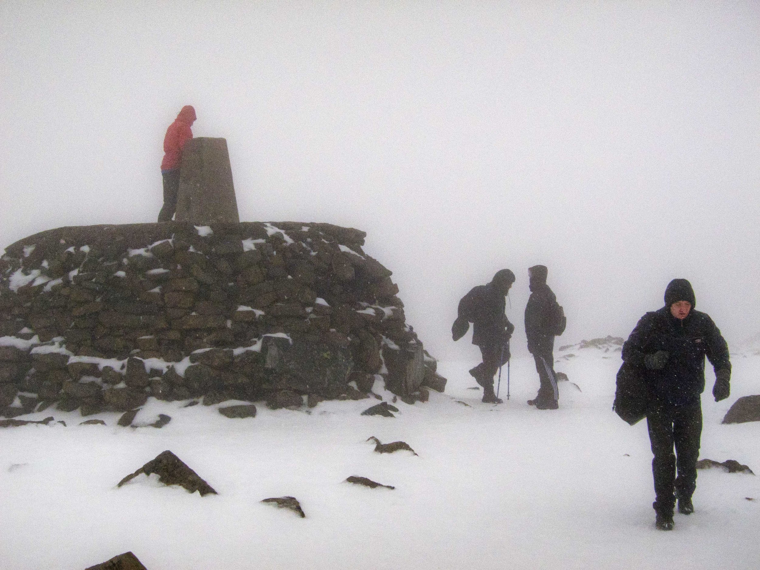
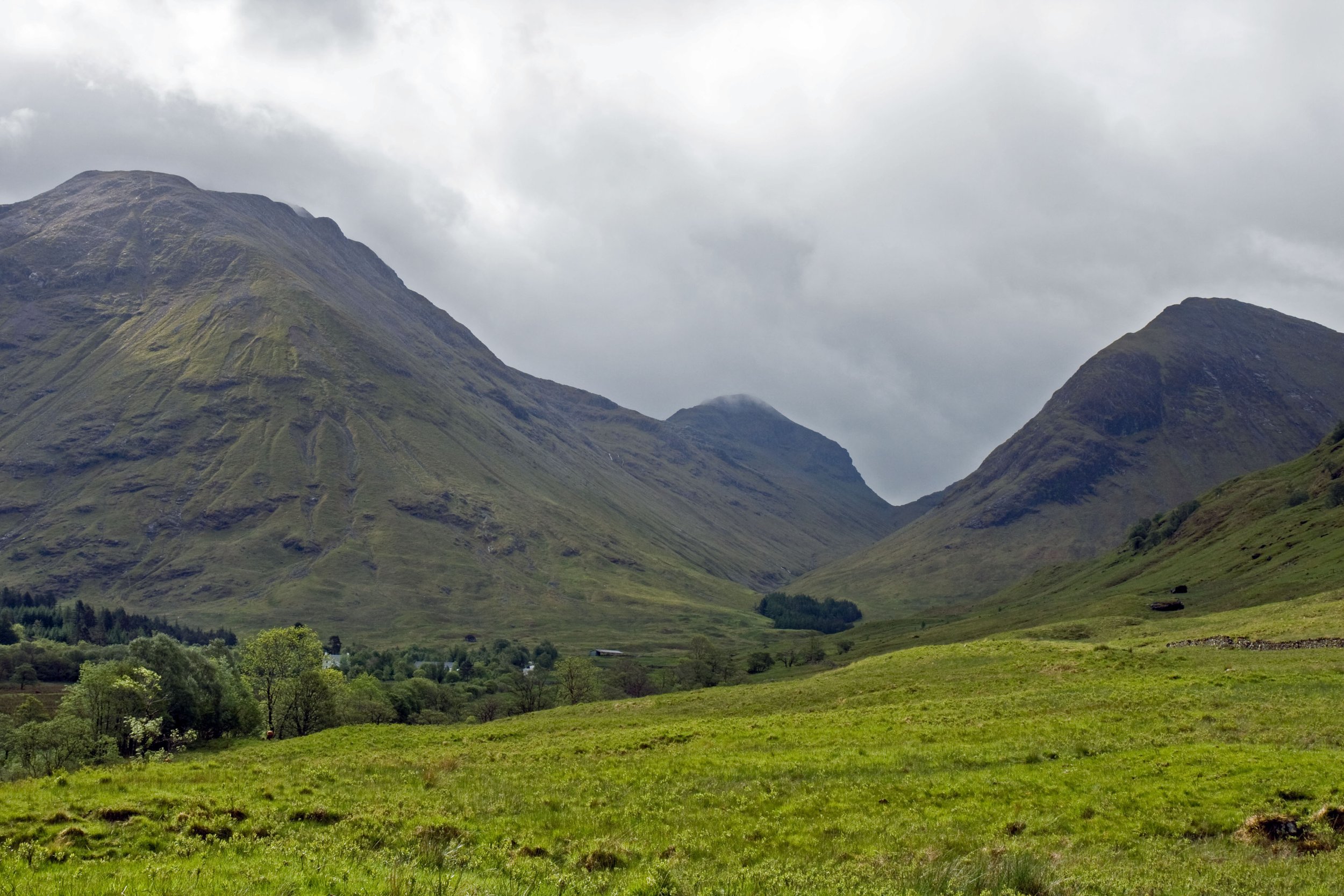
Ben Nevis in the Highlands is Britain’s hightest peak at slightly more than 4,400 feet. Its name in Gaelic translates as “Venomous Mountain” or “Malicious Mountain,” which is apropos because its weather is unpredictable and can turn nasty quickly. This scene is from late May.
Badenoch & Strathspey Pipe Band
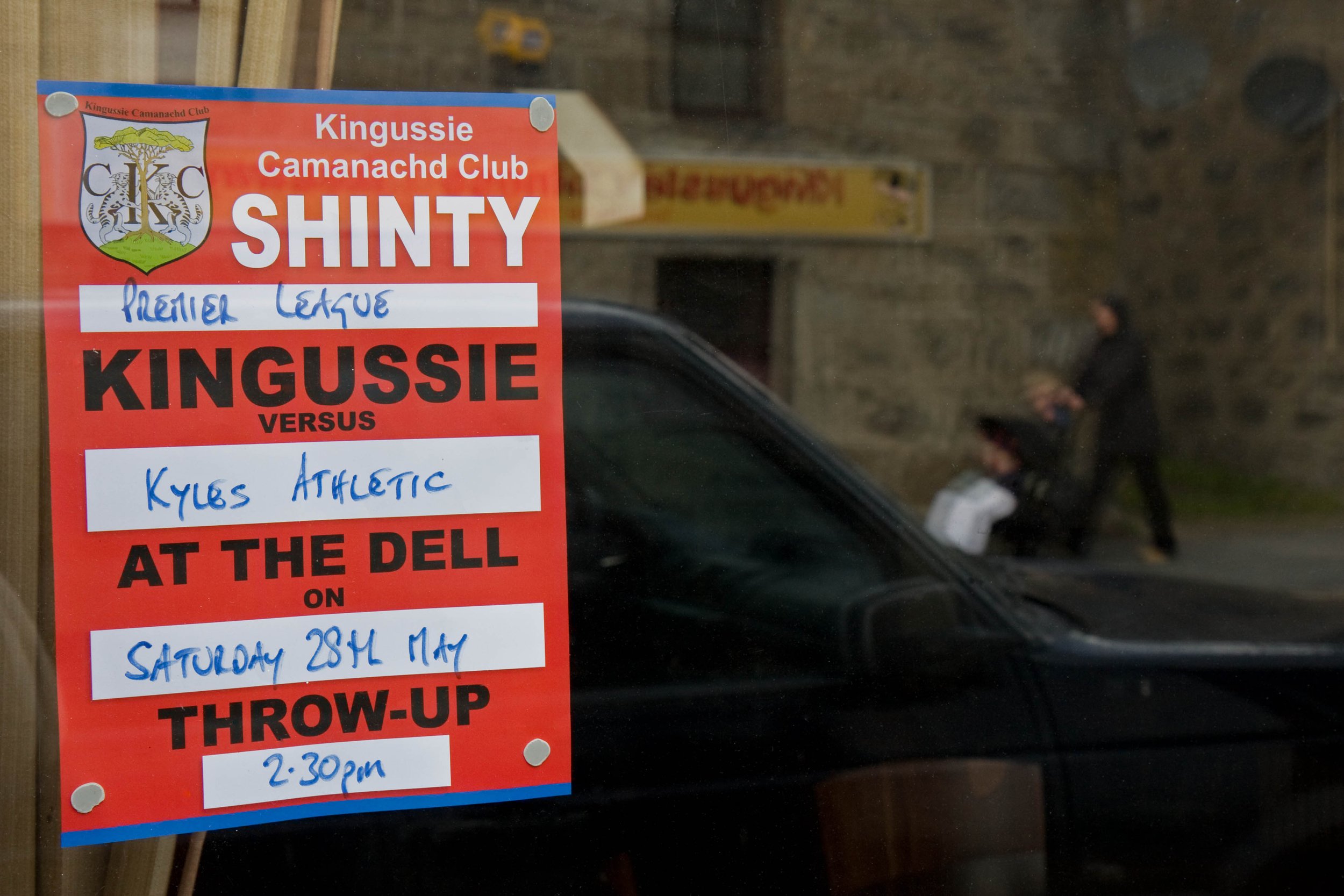
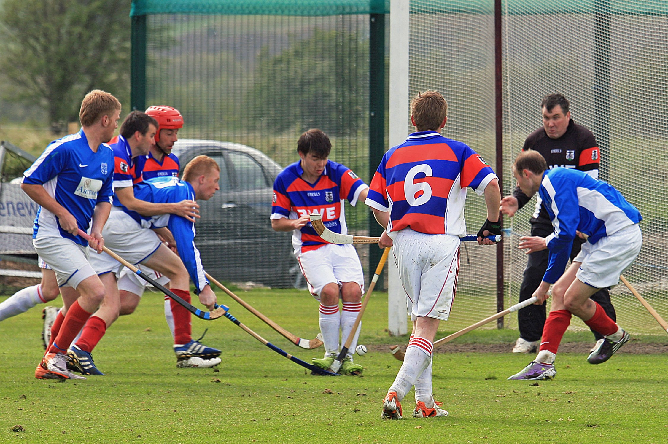
Shinty match between Kingussie and Kyles Athletic in Kingussie
Kingussie (red and blue stripes) vs. Kyles Athletic
Glen Coe
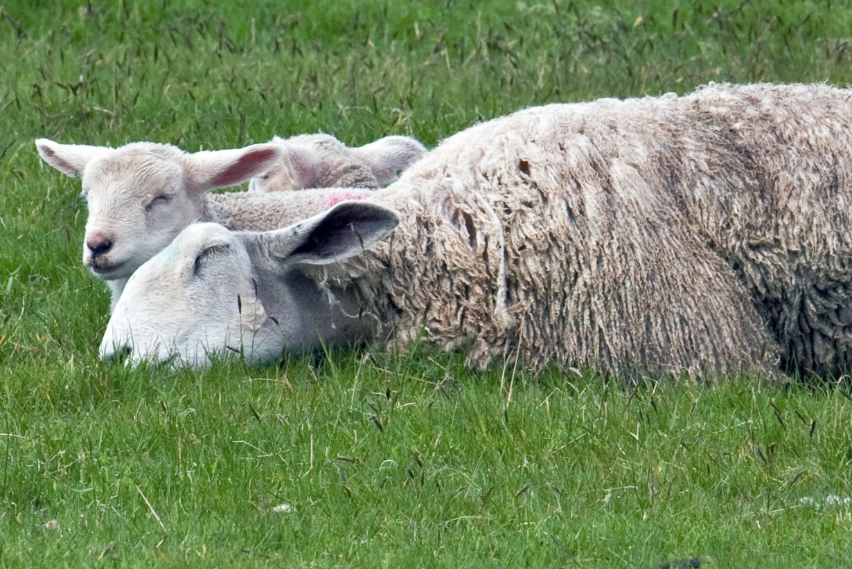
Highland sheep
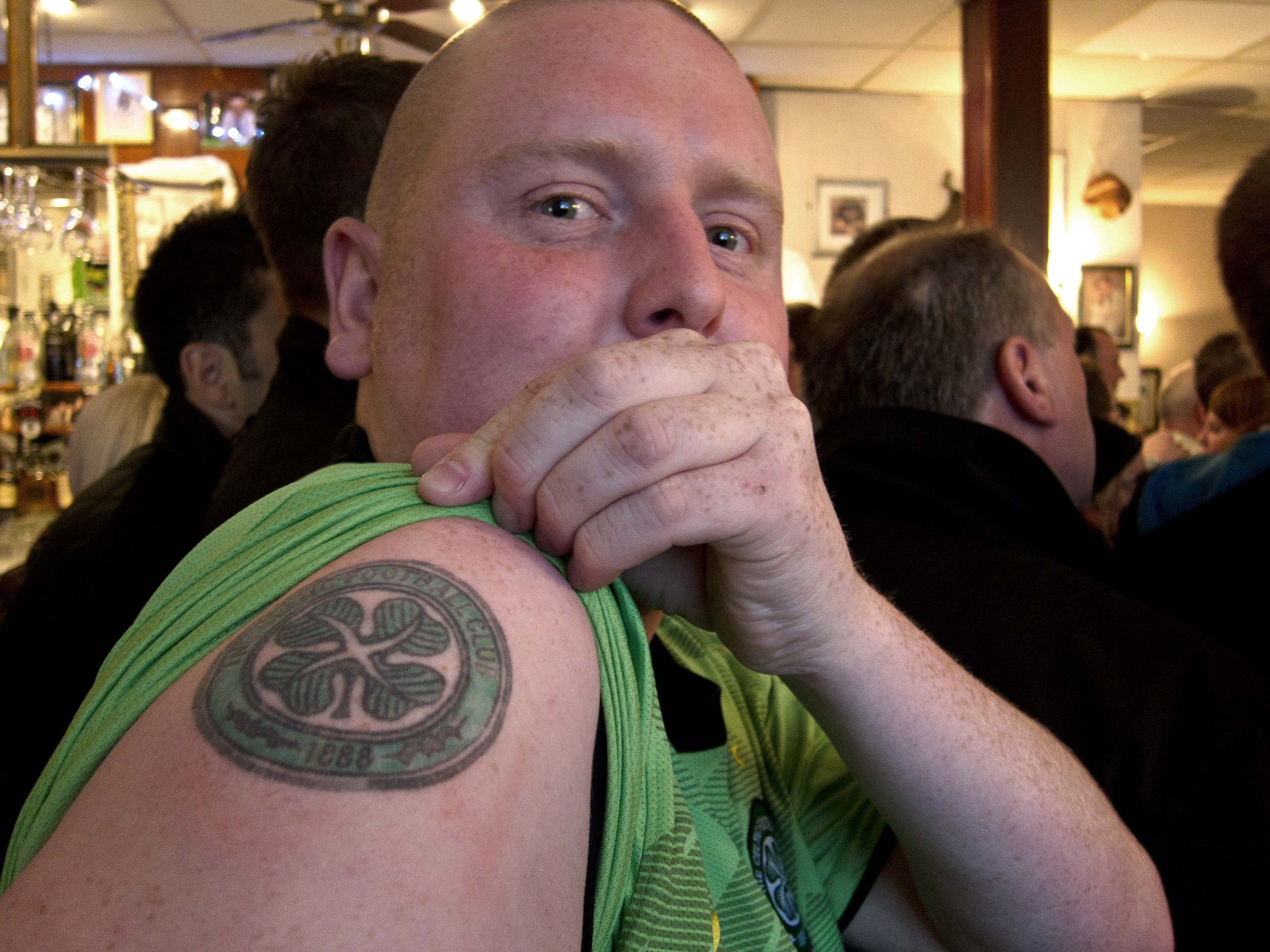
Kevin in Glasgow showing his Celtic F.C. pride
Kelvingrove Art Gallery and Museum (Glasgow)
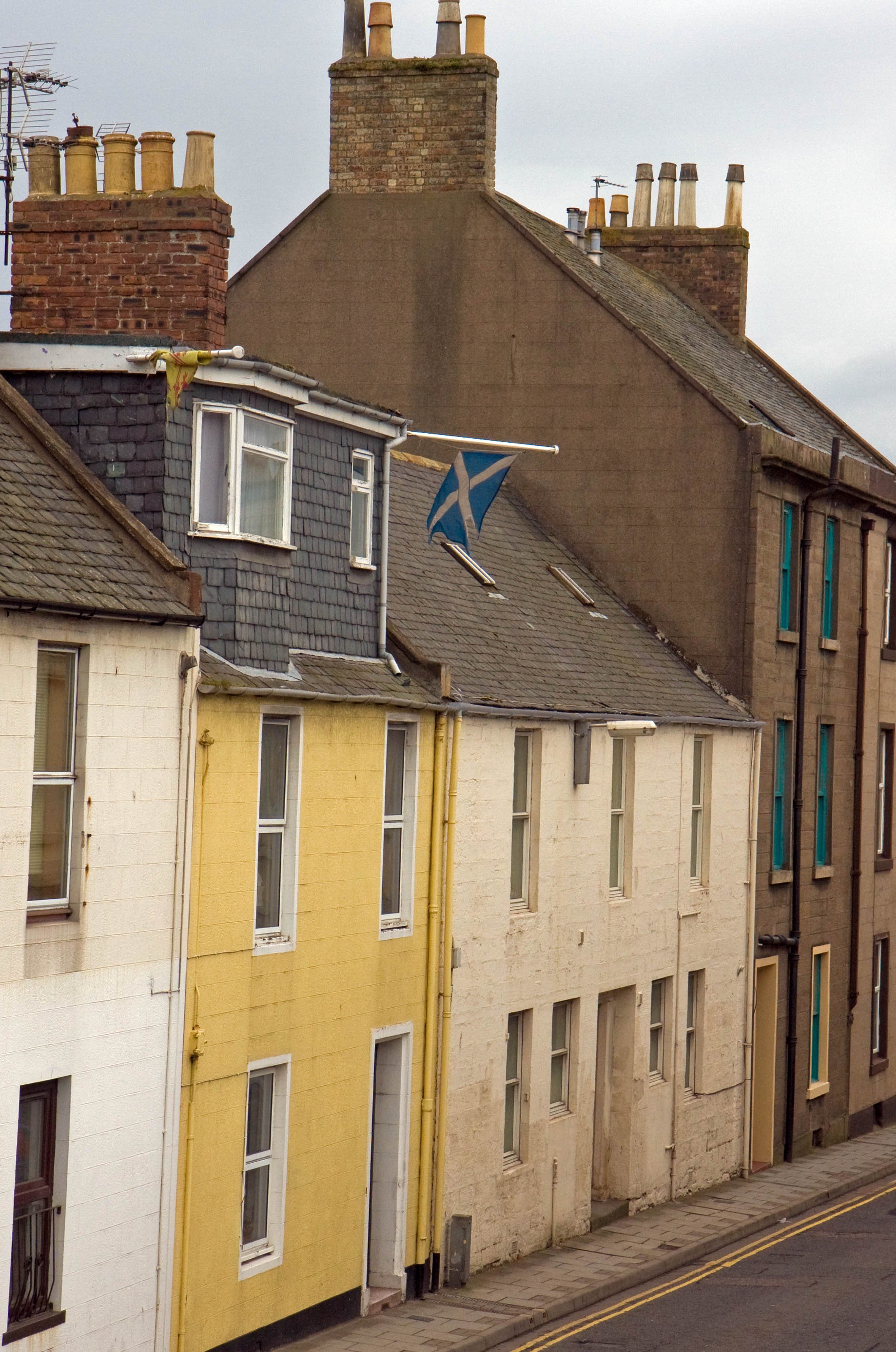
Scottish flag through Bairds Bar window (Glasgow)
When it came up in conversation that I was heading to Greece a common reply was something like, “Oh yeah, what island are you going to?”
For sure, the Greek islands are synonymous with a Greek holiday. Picture-perfect postcard images of beaches, blue sky and azure water are alluring. But the waters of the various seas—Aegean, Ionian, and others within the Mediterranean basin–are as still as bath water. That sounds boring. For that and other reasons, the islands weren’t for me.
Instead, my Greek adventure was a landlubber expedition. Monasteries in the sky. The top of Mt. Olympus, mountain of the gods. Macedonian history. Sampling life in Greece’s two biggest cities. Left unvisited were other places of note I didn’t have time for including the ruins and remnants of Mycenae, Delphi and Olympia, plus other fabulous hiking opportunities in this mountainous country.
Maybe I’ll hit them next time if there is a next time because I liked Greece. In fact, I liked it a lot. And after watching the movie “Zorba the Greek,” which was filmed on Crete, I might have to visit that largest of Greek islands. (After all, how can one visit Greece more than once and not venture to one of its islands?)
Athens, seen from Lycabettus Hill
Acropolis in Athens
Constructed roughly 2,500 years ago, the Parthenon is the crown jewel of the Acropolis. Built as a temple for the goddess Athena (the city’s namesake), it symbolizes the zenith of ancient Greece’s golden age as the home of philosophers, the birthplace of democracy and the cradle of Western civilization. But over the centuries it has taken a beating from the weather, earthquakes and human activity—mostly warfare-related, but also from questionable restoration work. Other monuments on the Acropolis have been restored in recent decades, and current restoration efforts on the Parthenon focus on its western facade (seen above).
The Anafiotika section of the Plaka neighborhood sits at the base of the north slope of the Acropolis. Dating from around the mid-19th century, the homes were built by carpenters and masons hired by the newly installed king to make Athens—recently named Greece’s capital after it gained independence from the Ottoman Empire—into a modern city. Many of the workers hailed from the Cyclades island of Anafi, and the architectural styles of the houses they built reminded them of home and brought a splash of the Cycladic islands to the city.
Fashion model in Anafiotika
Fashion model
Rising from the Thessaly plain in the heart of Greece’s mainland, the stone pillars of Meteora punctuate the sky at heights of hundreds of feet to create a stunning landscape made more spectacular by six monasteries perched high atop some of these sandstone towers. Roughly 1,000 years ago Greek Orthodox hermits first came to Meteora to live an ascetic life on smaller rock formations or in cavities on the rock faces. By the 14th century some monks began to scale the heights of taller pillars and started constructing monasteries by painstakingly hauling up building materials via ropes and nets using a pulley and hoist system. In its heyday the Meteora pillars and rock mounds contained 24 monasteries (some were built into the sheer rock faces). Today the remaining monasteries are home to a small number of monks and nuns; paved roads connect the monasteries; and steps carved into stone enable people to visit the monasteries and their richly appointed chapels and beautiful Byzantine frescoes and murals. The monasteries pictured here are Roussanou (foreground) and Saint Nicholas Anapafsas.
Varlaam Monastery
Holy Trinity Monastery
Varlaam and Roussanou monasteries
Monastery of Agios Nikolaos Badovas
The hermit caves of Badovas dot two large rock formations in the valley of Panagia (Virgin Mary) in the Meteora region. In the foreground is the tiny Panagia chapel. Above that is the remains of an ascetic’s cave, or hermitage. In the distance in the large cavity of the rock face is an abandoned monastery dedicated to Agios Nikolaos (St. Nicholas). It dates from the 14th century, and was restored in the 1990s.
Meteora nun
These people brought a gong to an overlook to make a video capturing the spiritual atmosphere of Meteora.
The Meteora hills are covered with an abundance of beautiful wildflowers.
Meteora (important messages)
Kastraki is a handsome village nestled in the embrace of the Meteora rock pillars.
Mytikas Peak, the tippy top of Mount Olympus. It’s the highest point in Greece and legendary home to the Greek gods. I did a long day hike to the top of Mount Olympus, and after I reached its heights the weather changed as clouds completely enveloped the apex and thunder rumbled . . . as if Zeus was either saying hello or warning me to get out of his house.
This tomb is thought to have held the cremated remains and assorted goods of Philip II of Macedonia, conqueror of much of Greece in the 4th century BCE and father of Alexander the Great. The tomb is located in a large burial mound in Vergina in northern Greece, the present-day site of the ancient city of Aigai, the first capital of the Macedonian kingdom. The tomb was discovered in 1977, and analysis of the burned bones in the golden coffin, or larnax, indicate injuries that fit the description of those suffered by Philip during his years of warfare. Some have doubted those were Philip’s remains, but according to reports the forensic and historic evidence strongly point to the remains belonging to Philip. If so, it was a stunning archaeological discovery.
As the so-called second city of both the Byzantine Empire and modern-day Greece, Thessaloniki has been a central player both in trade and warfare in the Mediterranean and Balkan regions throughout its long history. Founded in 315 BCE, it was named for Alexander the Great’s half-sister, Princess Thessalonike of Macedon. She was named by her father, Philip II, after he won a significant battle in Thessaly. Her name translates either as "victory in Thessaly” or “Thessalian victory.” The city is the hub of northern Greece.
Thessaloniki waterfront
Ano Poli
Ano Poli, or Upper Town, is Thessaloniki’s old town. Perched on a hill north of the modern city center, Ano Poli’s is a warren of narrow—and at times steep—cobblestone streets lined with homes, apartment buildings and churches representing Macedonian, Byzantine and Ottoman architectural styles. Unlike the generic high-rise structures that fill the city’s lower modern section, Ano Poli is loaded with character and a little bit of grit.
Alexandra Papadopoulou Street was a two-minute walk from my Airbnb in Ano Poli and has three tavernas/restaurants and a cafe. While visiting the city I ate three of my four dinners here, and all of the food (and coffee) was very good. This small stretch of food and drink looks peaceful in this picture, but the slender cobblestone street is often a busy lane with passing cars, mopeds, pedestrians and cats that adds a certain energy and entertainment value to the dining experience. It’s a much more charismatic locale vis-à-vis the crowded al fresco dining options in the city center.
Venus and the moon over Thessaloniki
Thessaloniki kiosk
Brettos (pronounced Vrettos in Greek), a famous lounge in Athens’ Plaka neighborhood that’s billed as the city’s oldest distillery.
Panathenaic Stadium
Host stadium for the first modern Olympic Games in 1896. The initial stadium on this site was a rectangular structure built by the Greeks in the 4th century BCE, and it was transformed by the Romans in the 2nd century CE to its current horseshoe-shaped configuration with seats made of marble from the same Mt. Penteli marble used for the Parthenon. It later fell into disuse, was stripped of its marble and became buried beneath dirt. The stadium was rebuilt for the 1896 Olympics and made completely from Mt. Penteli marble. This structure is known as “Kallimarmaro” (“made of fine marble”) and is the world’s only all-marble stadium. It’s still used for various events, so bring a seat cushion if you attend one of those events.
Fokianos Sports Park (Athens)
Athens bus stop
Sunblock attire (Athens)
To the west of Omonia Square in central Athens are the scruffy, up-and-coming neighborhoods of Keramikos and Metaxourgio. They include clusters of businesses owned by Chinese and South Asian immigrants. These two men sat in front of the Royal Curry House restaurant a few blocks from Omonia Square.
Ελπίδα, or Elpída (pronounced El-peé-tha), whose name in English means “Hope.”
Evzone guard, Tomb Of The Unknown Soldier
The Tomb of the Unknown Soldier is located in Syntagma (“Constitution”) Square in front of the Hellenic Parliament building in central Athens. Two Evzones, members of the elite Presidential Guard, stand watch at the tomb 24/7. There’s a changing of the guard at the top of every hour. The tomb memorializes unknown soldiers killed in wars throughout Greece’s history. The writing on the monument contains quotes from ancient Greek general and historian Thucydides, along with the names of battles in Greek history where soldiers gave their lives.
Supporters of Greek Prime Minister Kyriakos Mitsotakis gather at a rally in Syntagma Square in central Athens on June 23, 2023. Mitsotakis, leader of Greece’s center-right New Democracy party, won a second four-year term in May with a big victory in the general election but fell five seats short of a majority. Rather than forming a coalition government, Mitsotakis called for a new election on June 25 in hopes that the New Democracy party would gain an outright majority. This rally was his last big appearance before the election.
Political rally
Political rally
Political rally
Kyriakos Mitsotakis fires up his base at his last rally before the election. His New Democracy party improved its standing in the second election with a little more than 40% of the vote, giving it an outright majority in Parliament. Mitsotakis shook off a phone-tapping scandal targeting certain politicians, businessmen and journalists (termed by some as the “Greek Watergate”), along with criticism of the government’s handling of a passenger railroad crash and migrant boat sinking that both claimed many lives, to easily win a second term on the strength of his administration’s policies credited with restoring Greece’s economy and its international credibility after its decade-long debt-fueled financial crisis.
It’s a cat’s world, and we’re just living in it. (Athens)
National Garden. Its name in Greek is the melifluous sounding “Ethnikós Kípos” (pronounced eth-nee-kós keé-pos). It’s an oasis of green and serenity in the heart of Athens.
On the Iberian Pensinsula, it’s not a stretch to say that Portugal gets overshadowed by Spain, its larger neighbor to the east and north. After all, Spain occupies roughly 85% of the peninsula’s land mass and 80% of its population. And depending on who’s doing the tabulating, it’s the second-most visited country in the world.
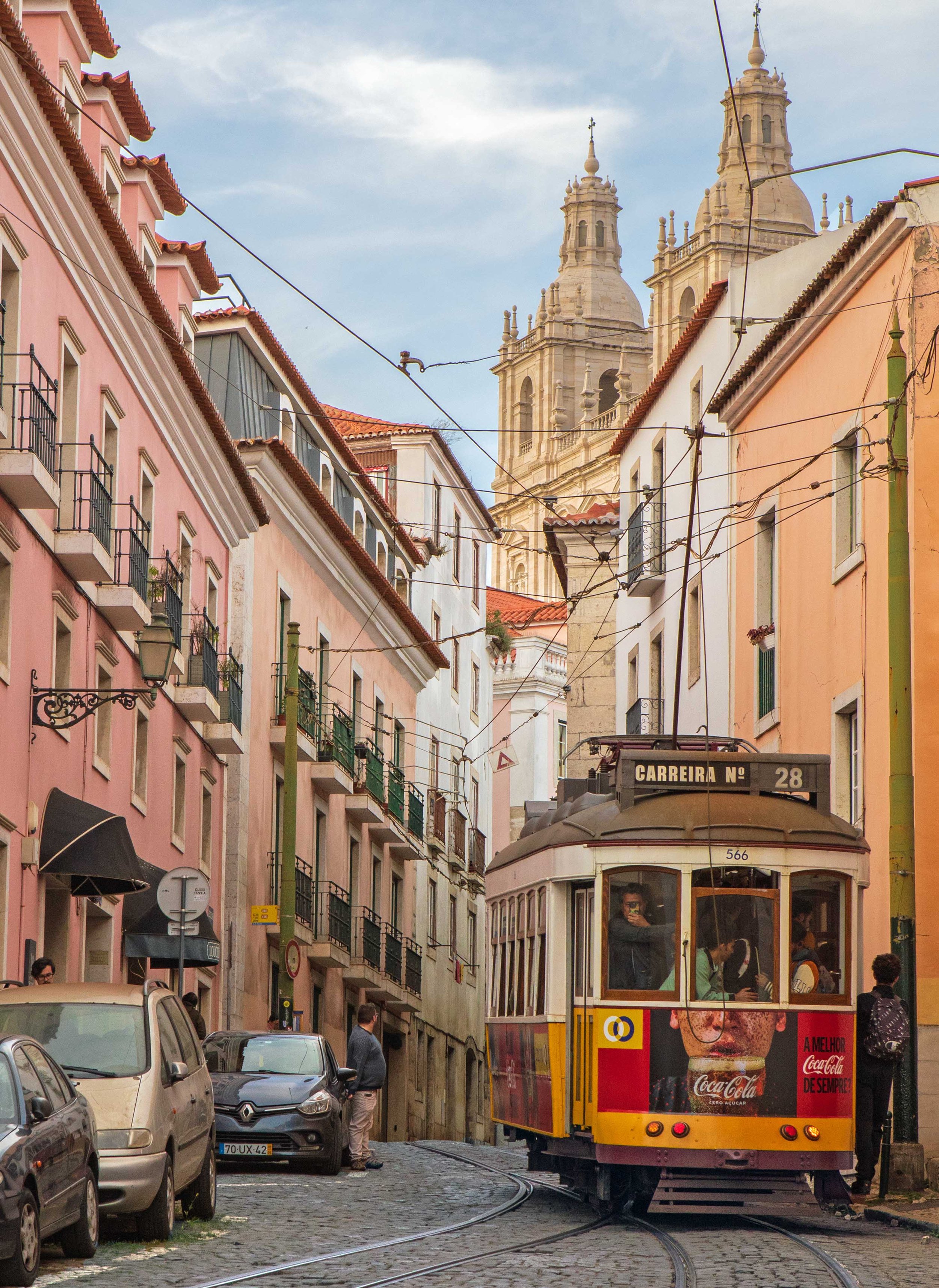
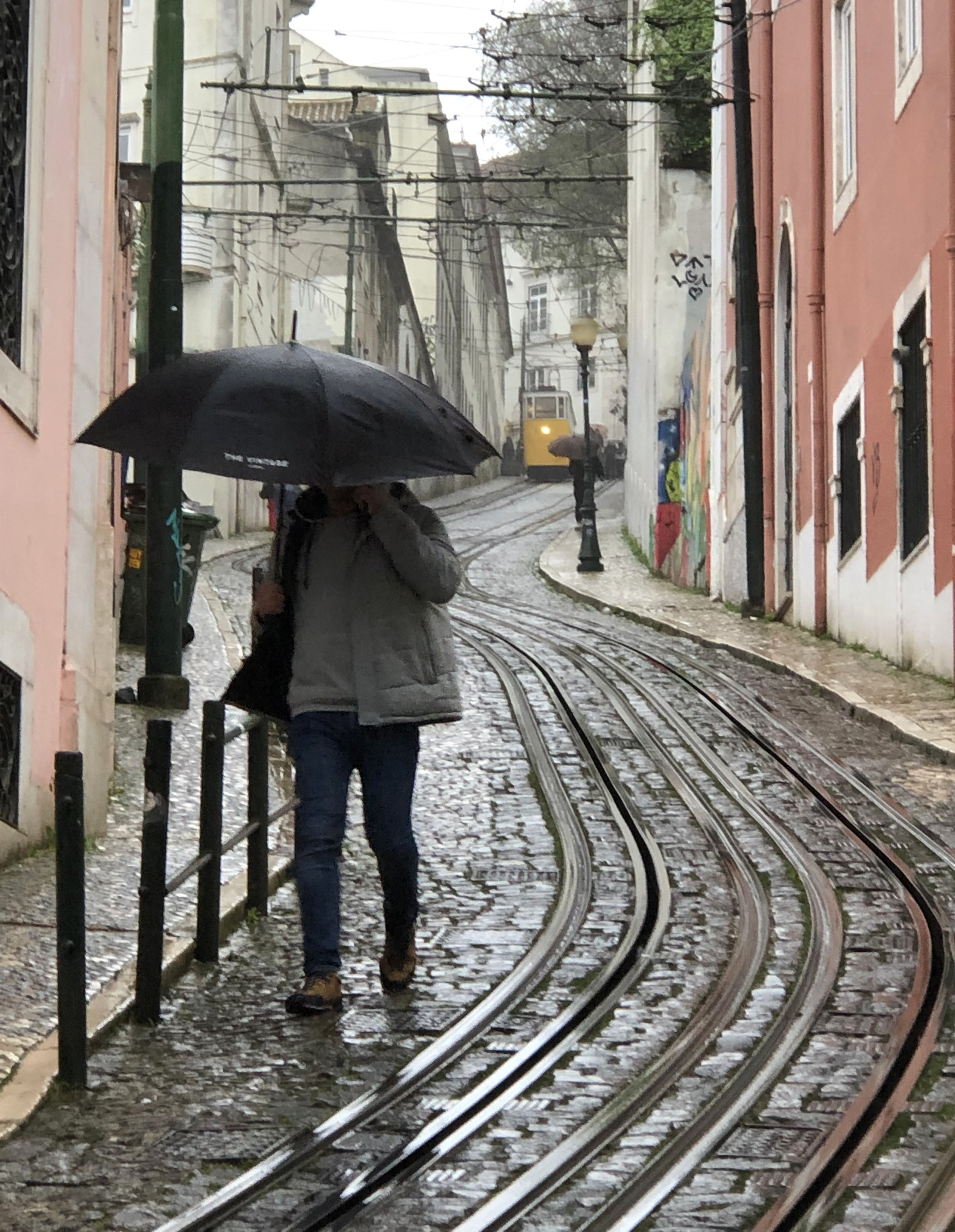
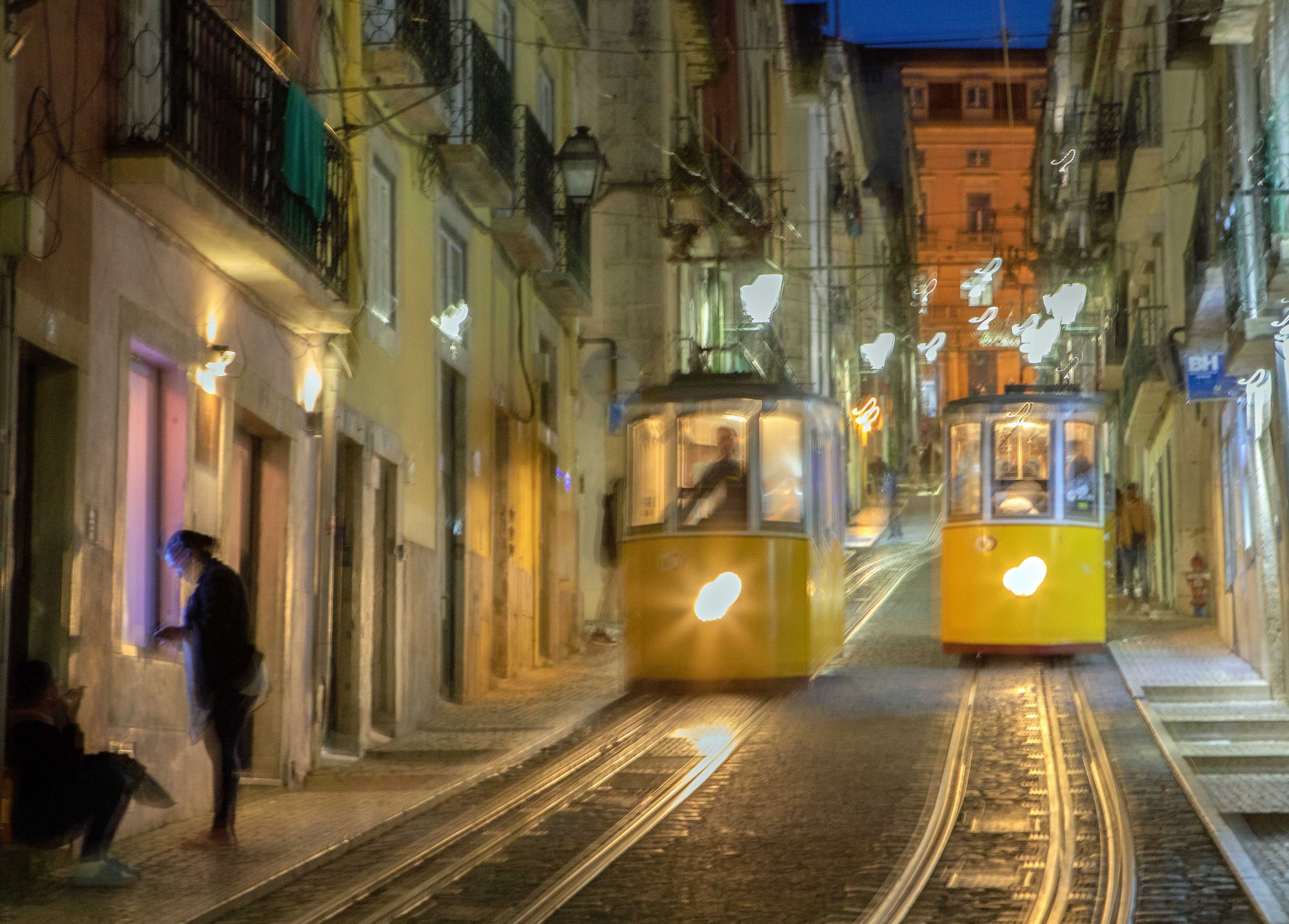
Portugal ranked 15th in tourism as of 2024, according to one data provider. Not bad, but I’d argue that Portugal punches above its weight class. It’s capital and largest city, Lisbon, is among Europe’s most charismatic cities with its 18th-century architecture, hilly streets and yellow tram cars. Porto, the country’s second city and hub of its northern region, has its own Old World vibe, a lively waterfront along the Douro River, and large barrels of port wine.
Portugal’s long coast stretches from the hot, sunny Algarve region in the south to the long western coast where the Atlantic Ocean funnels the world’s largest surfing waves onto the beach at Nazaré. And the country’s interior is a variegated panorama with small, traditional villages interspersed among mountains, wheat fields, and groves of cork and olive trees.
Equally important, Portuguese people have a reputation for being friendly. From my experience, there’s validity to that notion. Some might say this is the country’s secret sauce. It’s no coincidence that Portugal ranks high on various lists of the world’s most peaceful and/or safest countries.
So despite being the smaller kid on the Iberian block vis-à-vis its next-door neighbor, Spain, Portugal is a gem of a country with its own sense of star power.
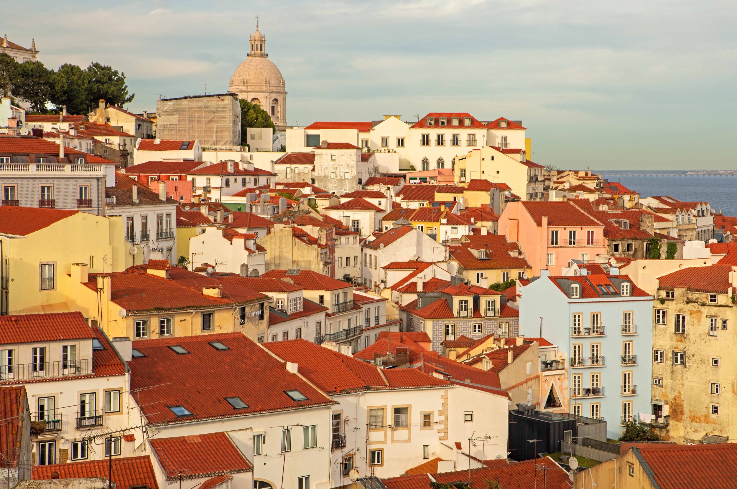
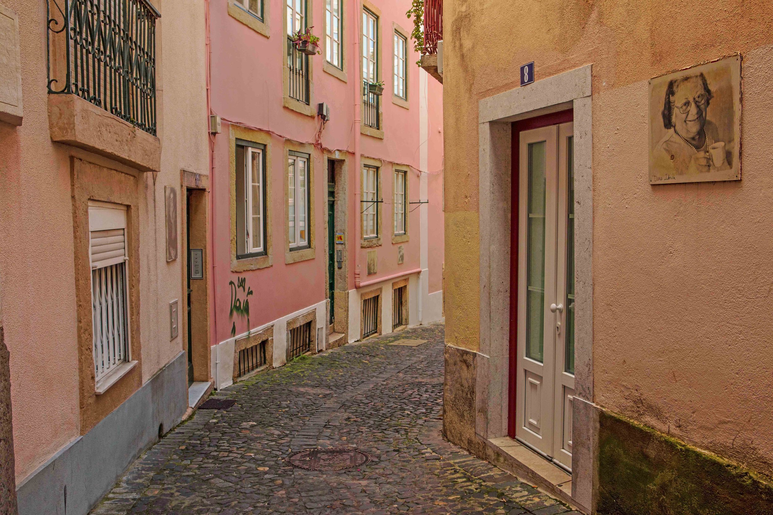
Alfama, considered to be the oldest—and most captivating—neighborhood in Lisbon.
Alfama
Alfama
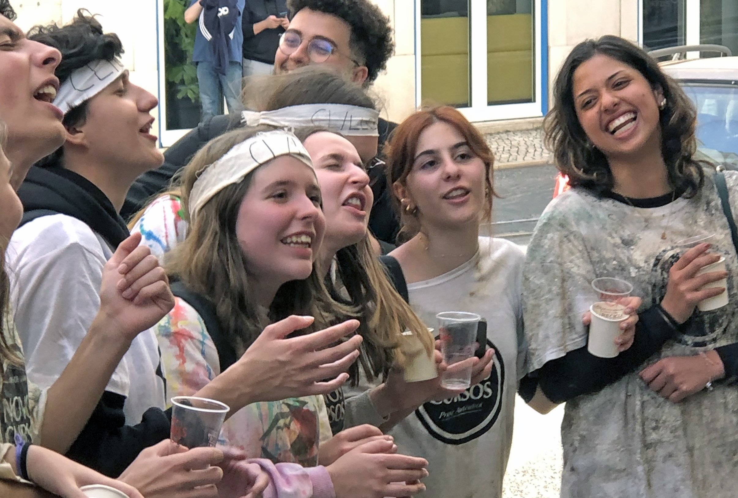
University of Lisbon freshmen singing on Lisbon streets as part of hazing ritual thrust upon them by sophomores. They seemed to enjoy the activity, so perhaps it was a fun form of hazing.
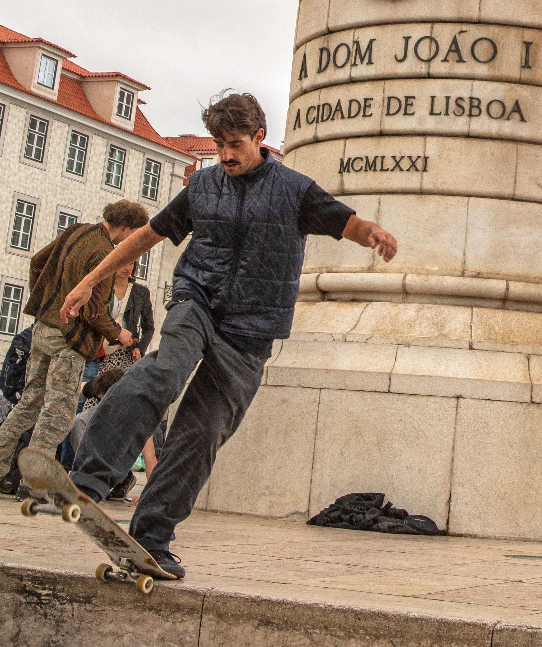
Skateboarder in Figueira Square (Lisbon)
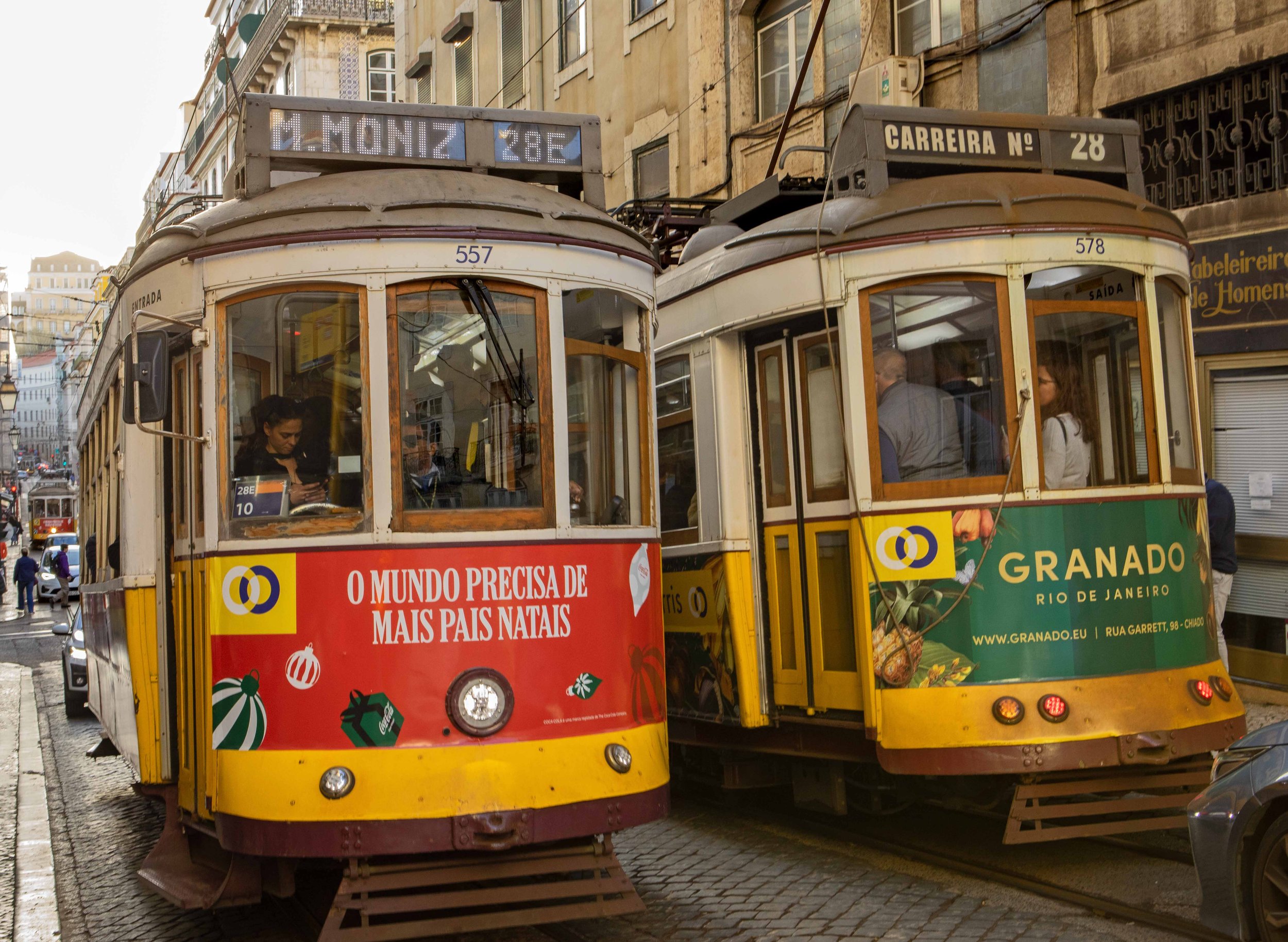
Lisbon’s fabled No. 28 tram, one of several yellow trams that traverse the city’s streets and which collectively are an iconic image of Lisbon.
Lisbon trams
Tram in Alfama
Lisbon trams
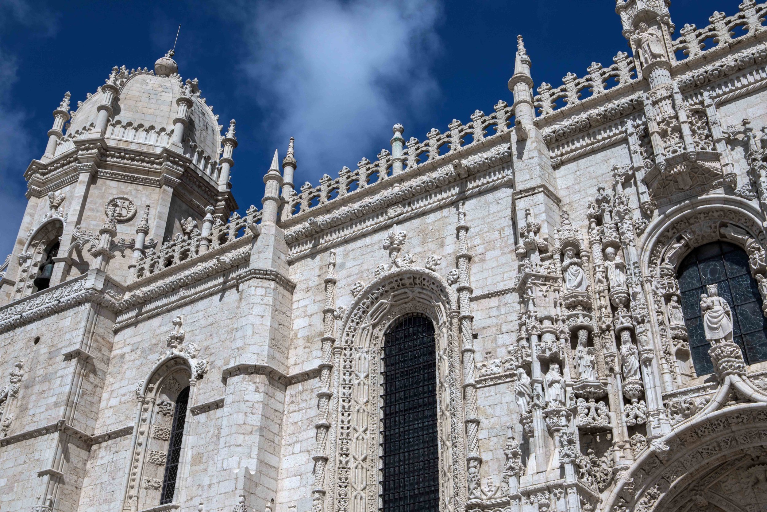
Jerónimos Monastery (Lisbon)
Mario, barkeep at A Tabacara, a small cocktails and oyster bar in a former tobacco shop in Lisbon’s Cais do Sodré neighborhood.
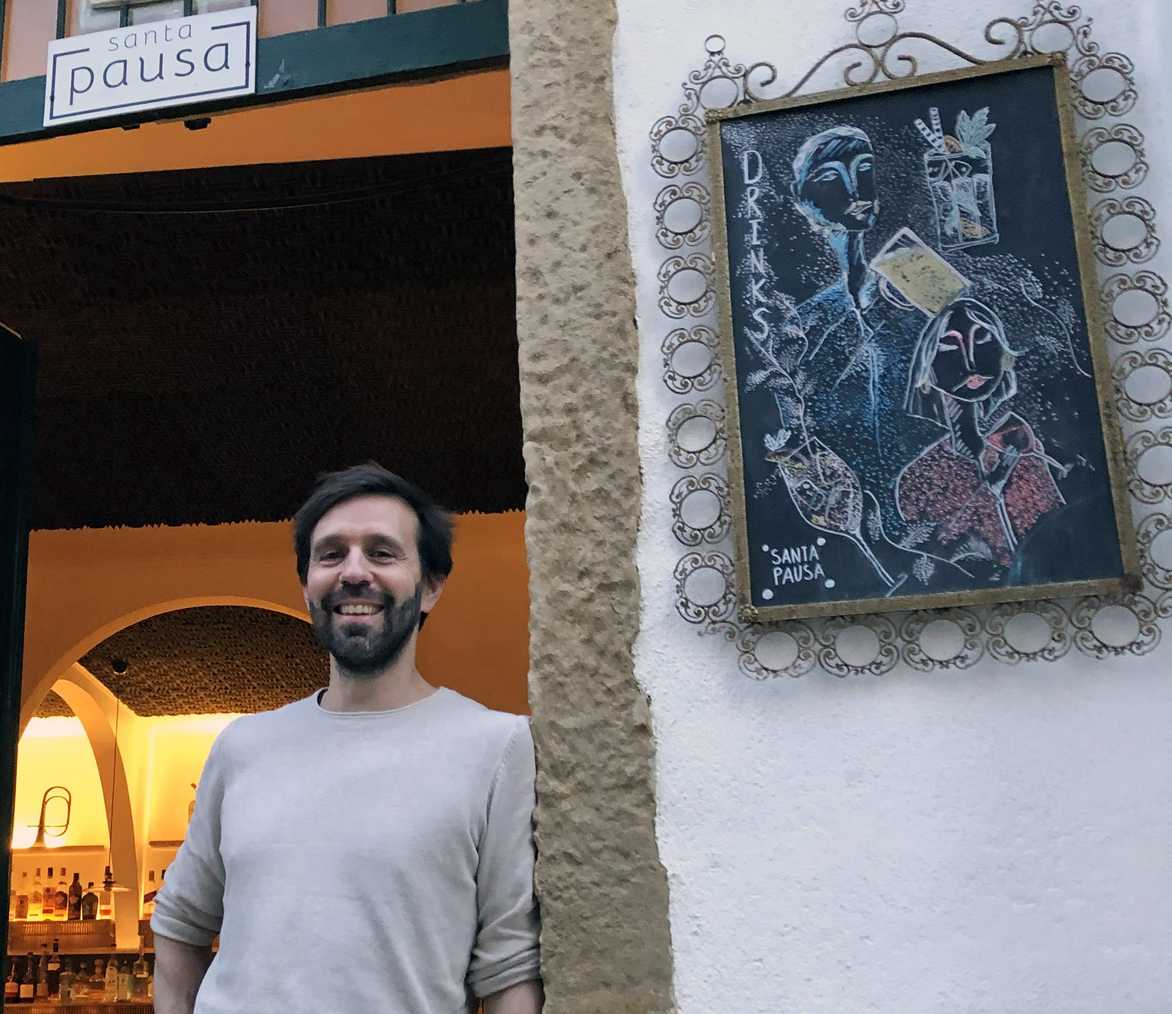
José, owner of Santa Pausa, a funky and cozy bar and tapas restuarant in Alfama.
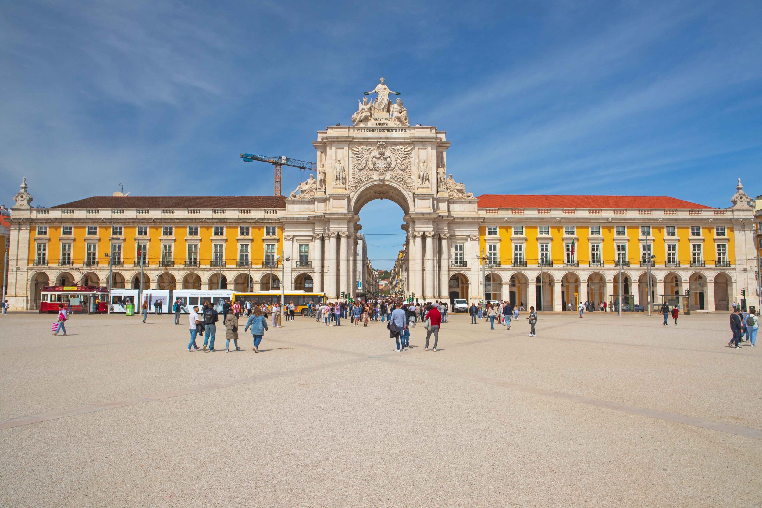
Praça do Comércio (Commercial Square), Lisbon’s large riverfront plaza in the heart of the city .
Rossio Square (Lisbon)
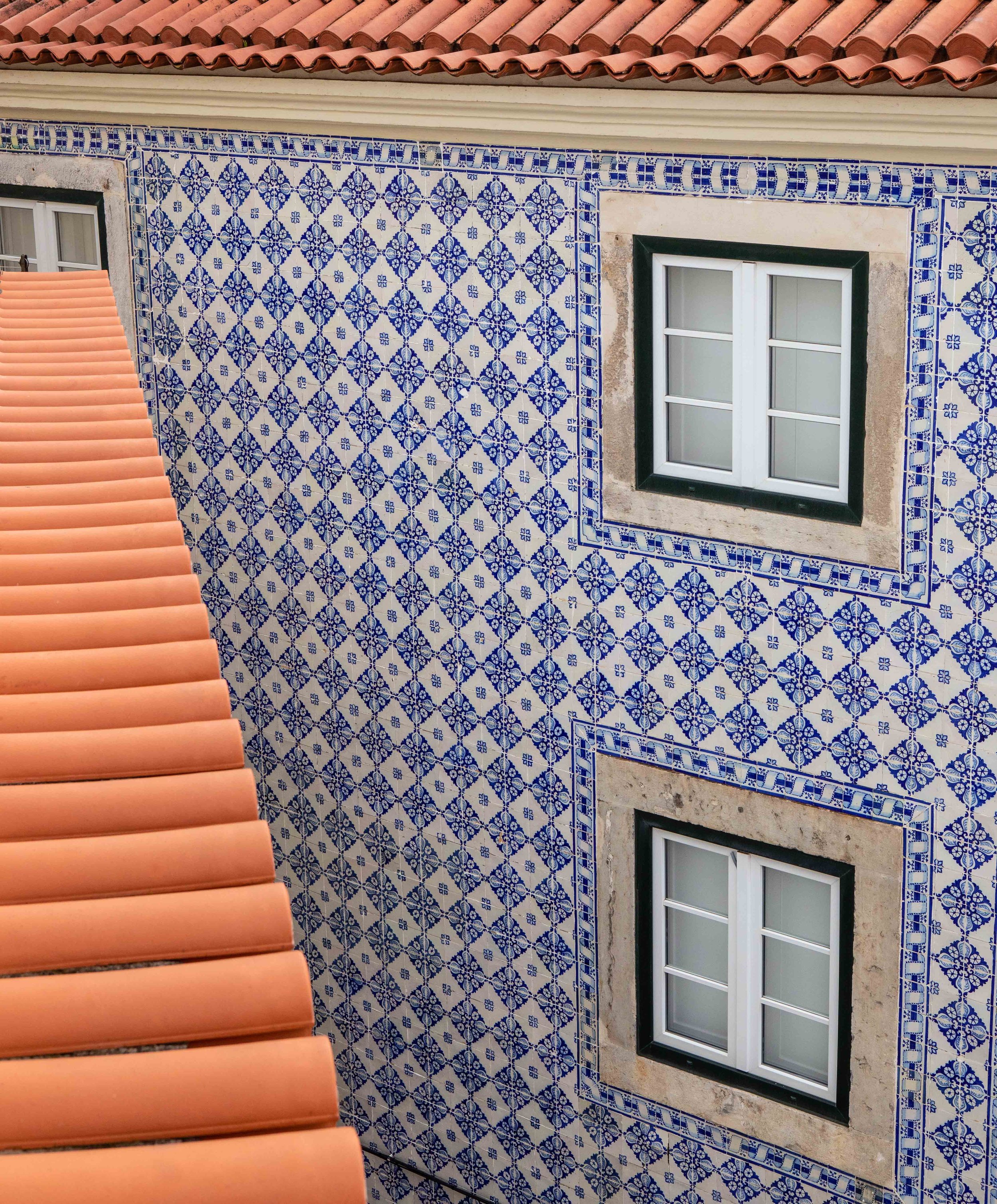
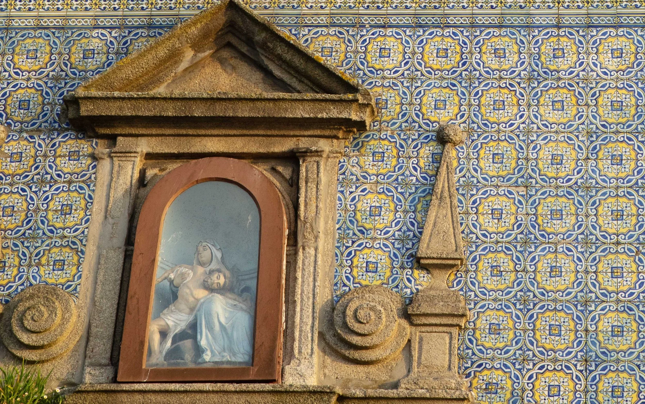
Azulejos wall tiles and terracotta roof tiles . . . Lisbon’s classic exterior look.
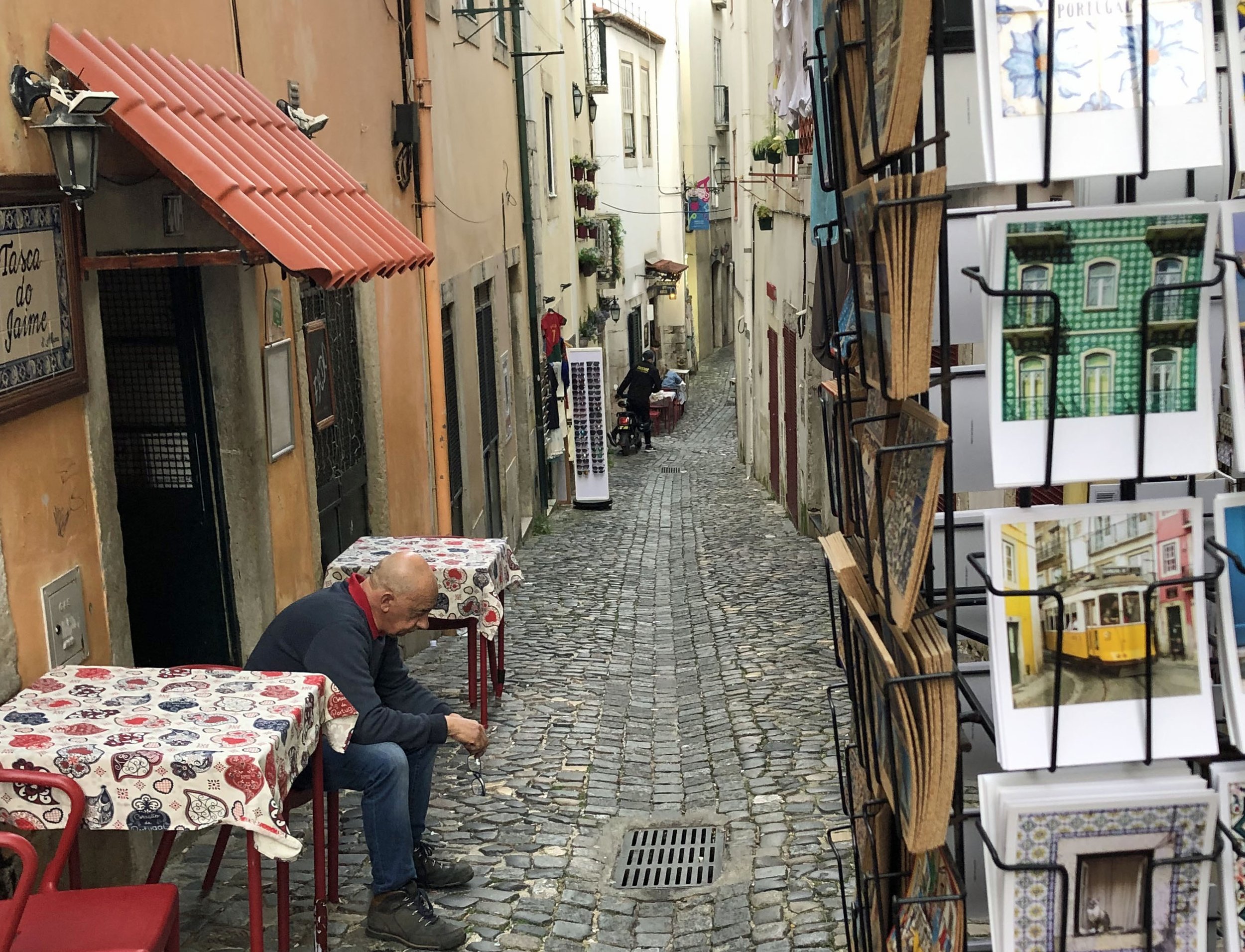
Man sits at outdoor table at Tasca do Jaime, a small Alfama restaurant offering intimate performances of fado, traditional Portuguese music heard in Lisbon and Coimbra.
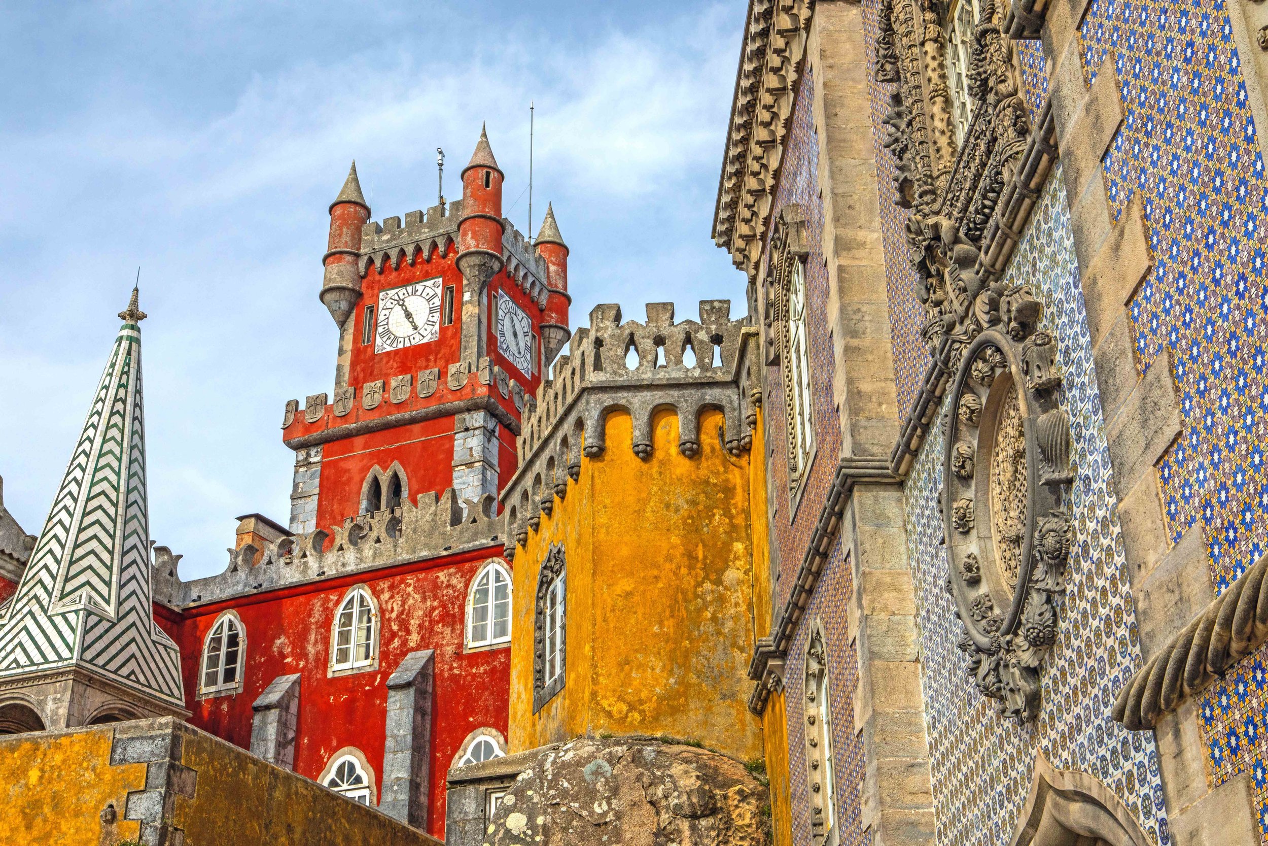
Pena Palace (Sintra)
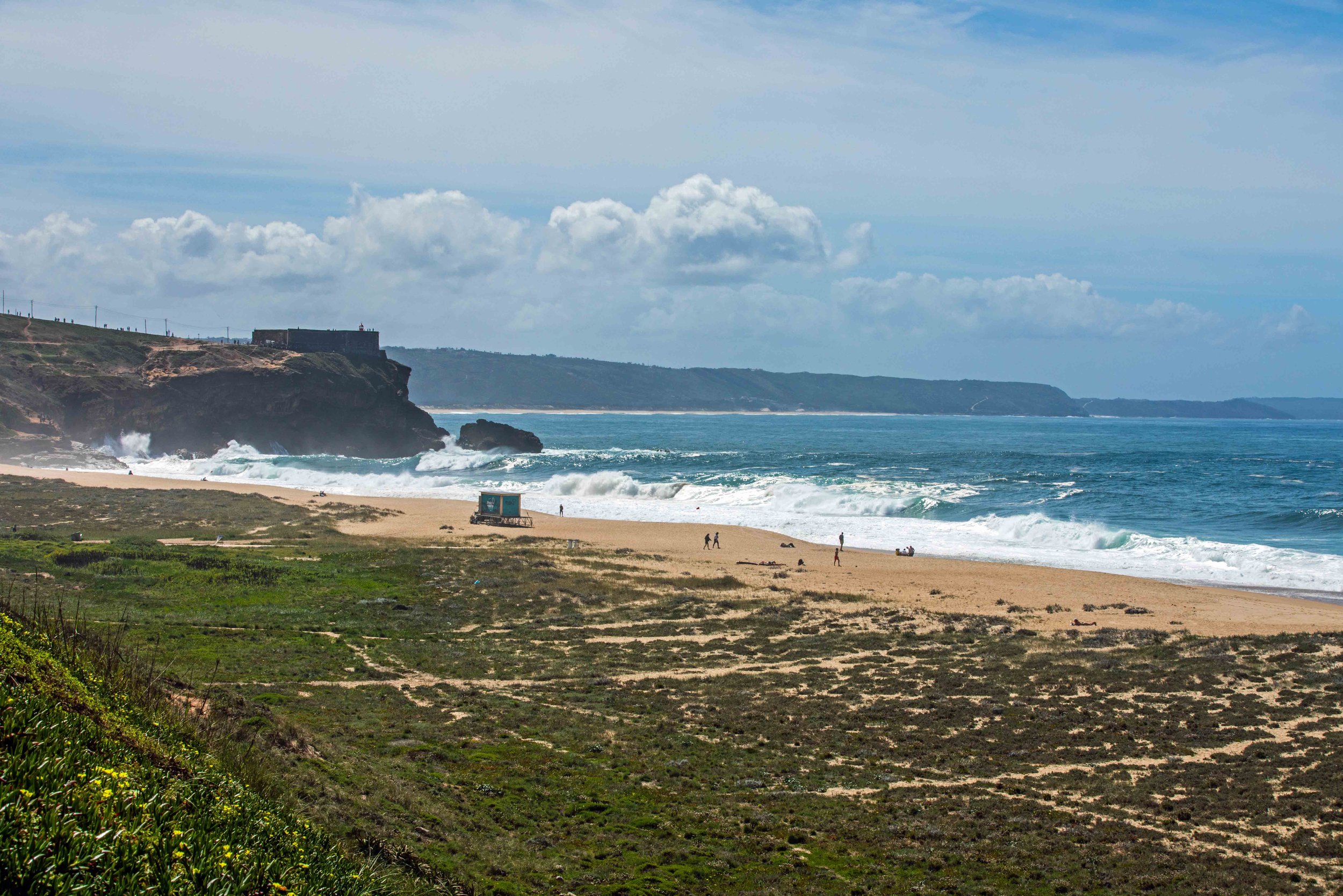
Nazaré. When wind-drive Atlantic Ocean swells meet the large underwater canyon off the coast of Nazaré’s Praia do Norte (North Beach), the funneling action creates the world’s largest surfing waves. The waves are generally biggest between October and March. On this April day, the roiling waves were a mere six-feet tall.
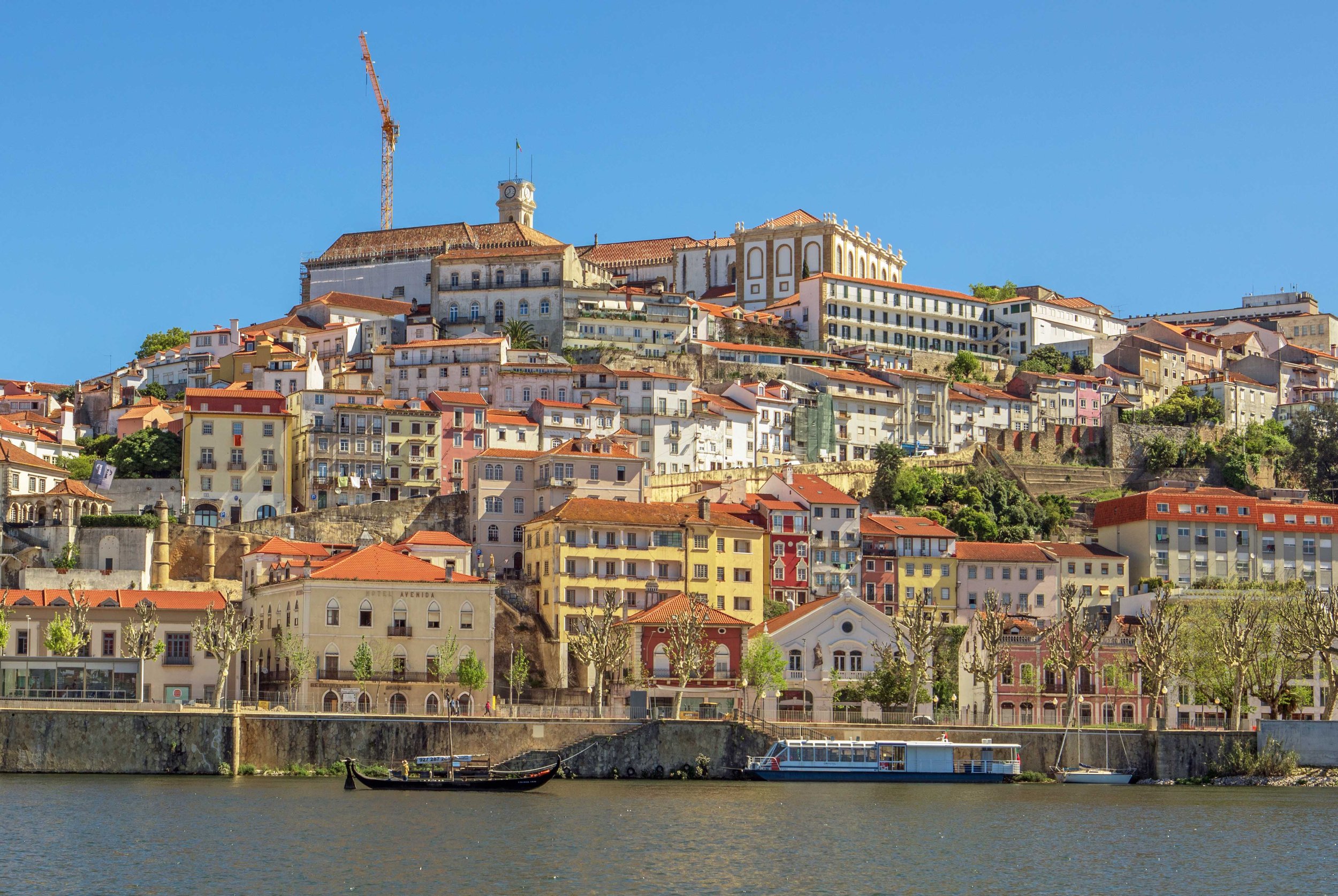
Coimbra in central Portugal. Home to Coimbra University, one of Europe’s oldest, which sits like a crown atop the city center.
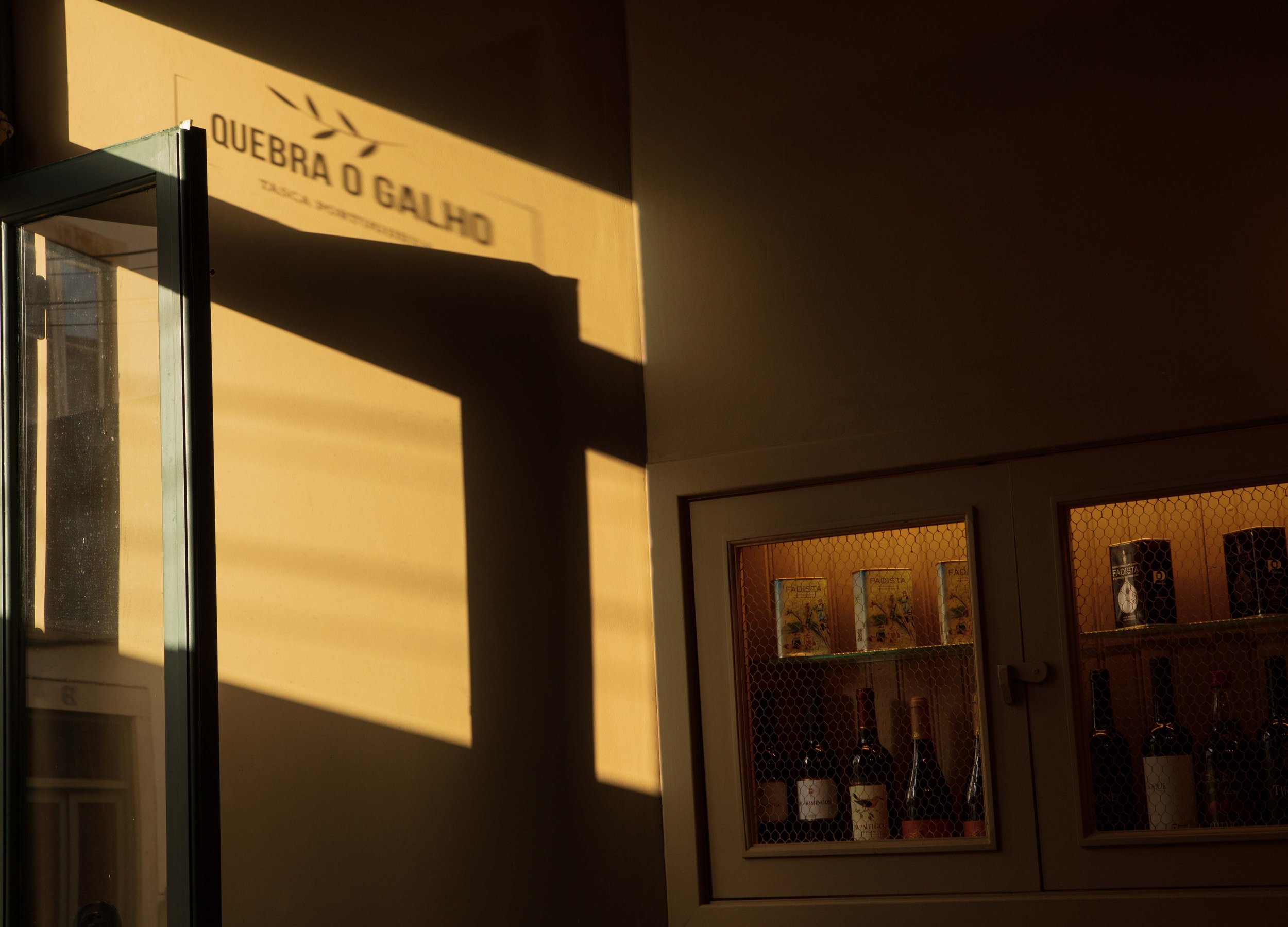
Quebra O Galho, an intimate tavern/small-plates venue in Coimbra with nightly fado performances.
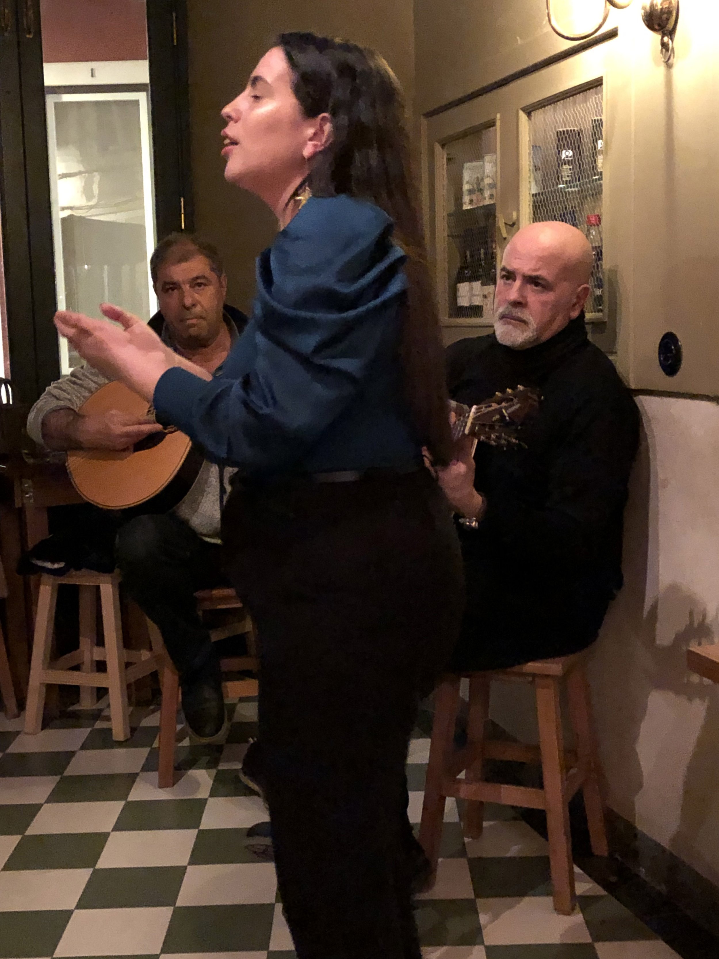
Fado at Quebra O Galho
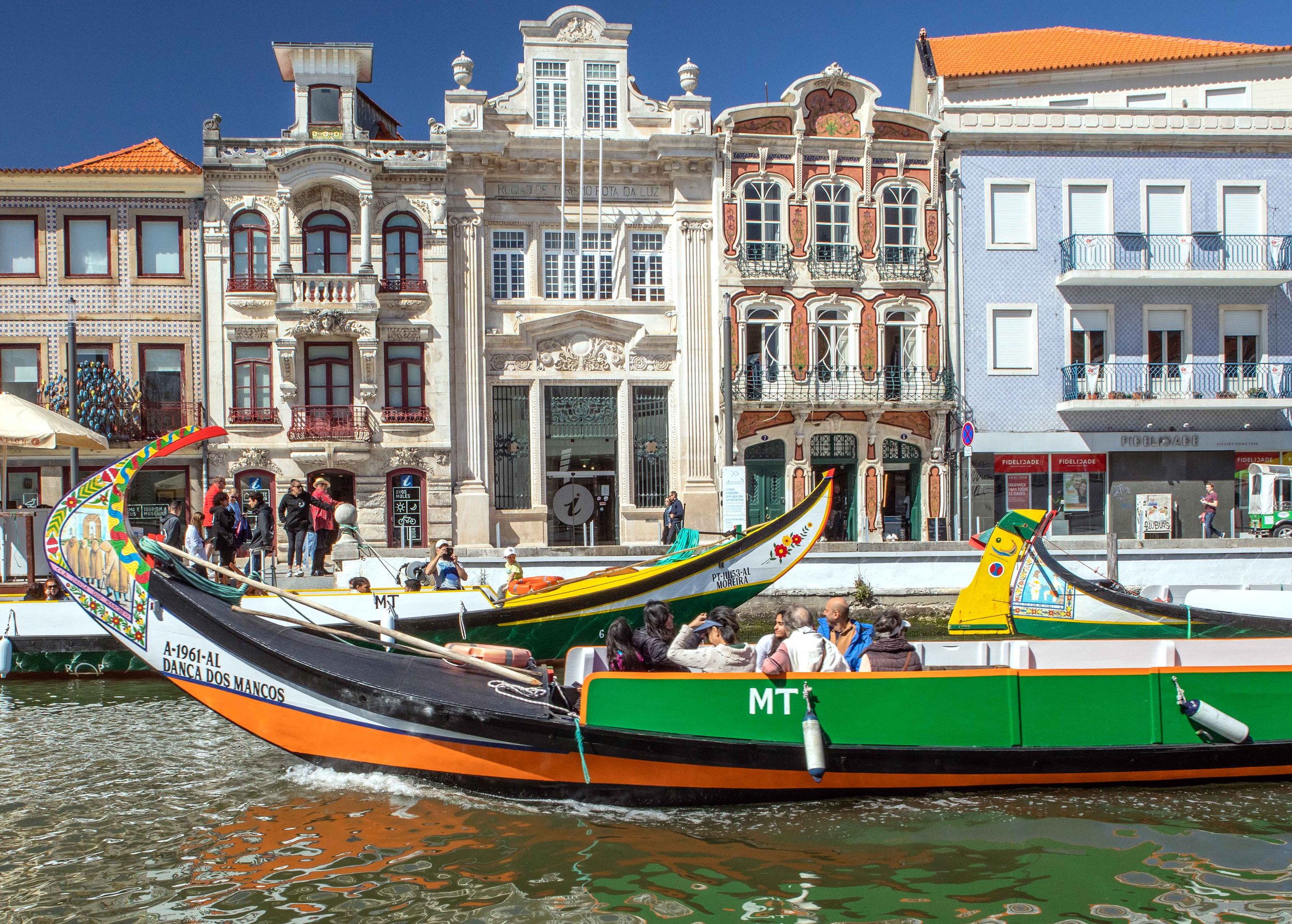
Art Nouveau architecture and the canal boats of Aveiro, considered the Venice of Portugal.
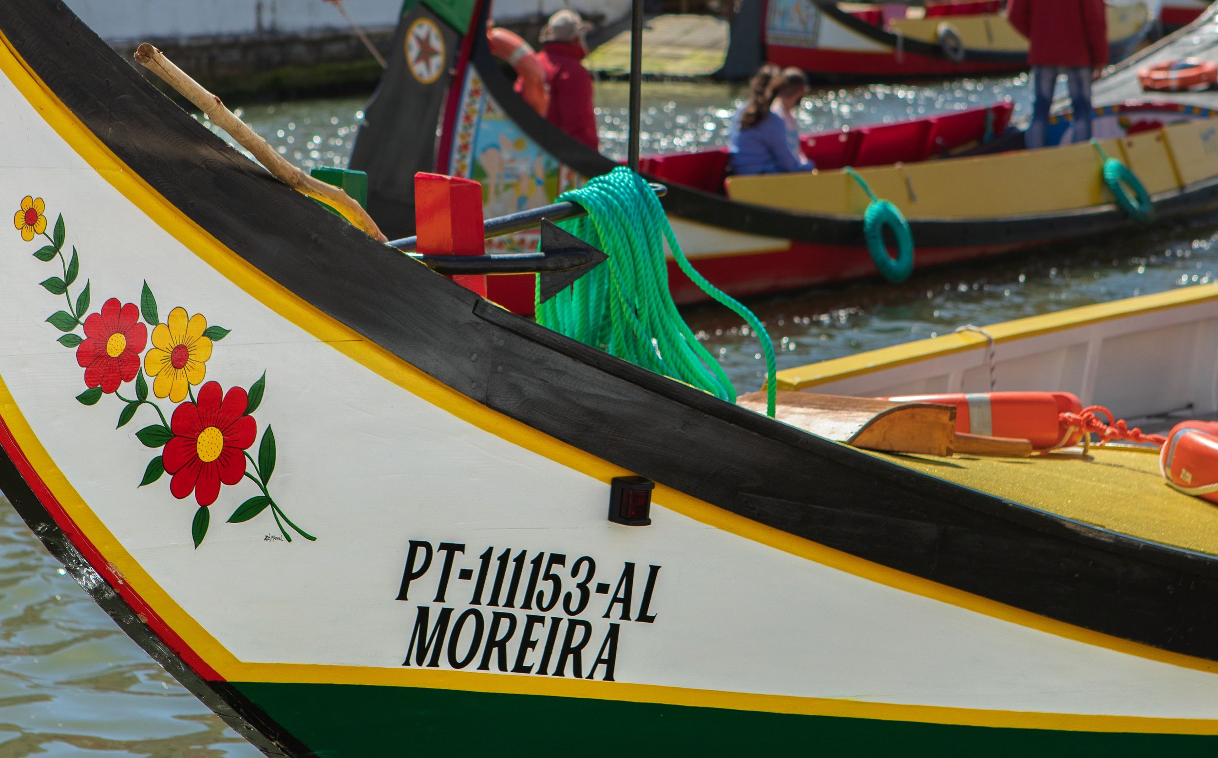
Moliceiros are brightly-painted vessels traditionally used to gather algae from the lagoon in Aveiro. Today, they’re used mainly for tourist boat trips along the city’s canals.
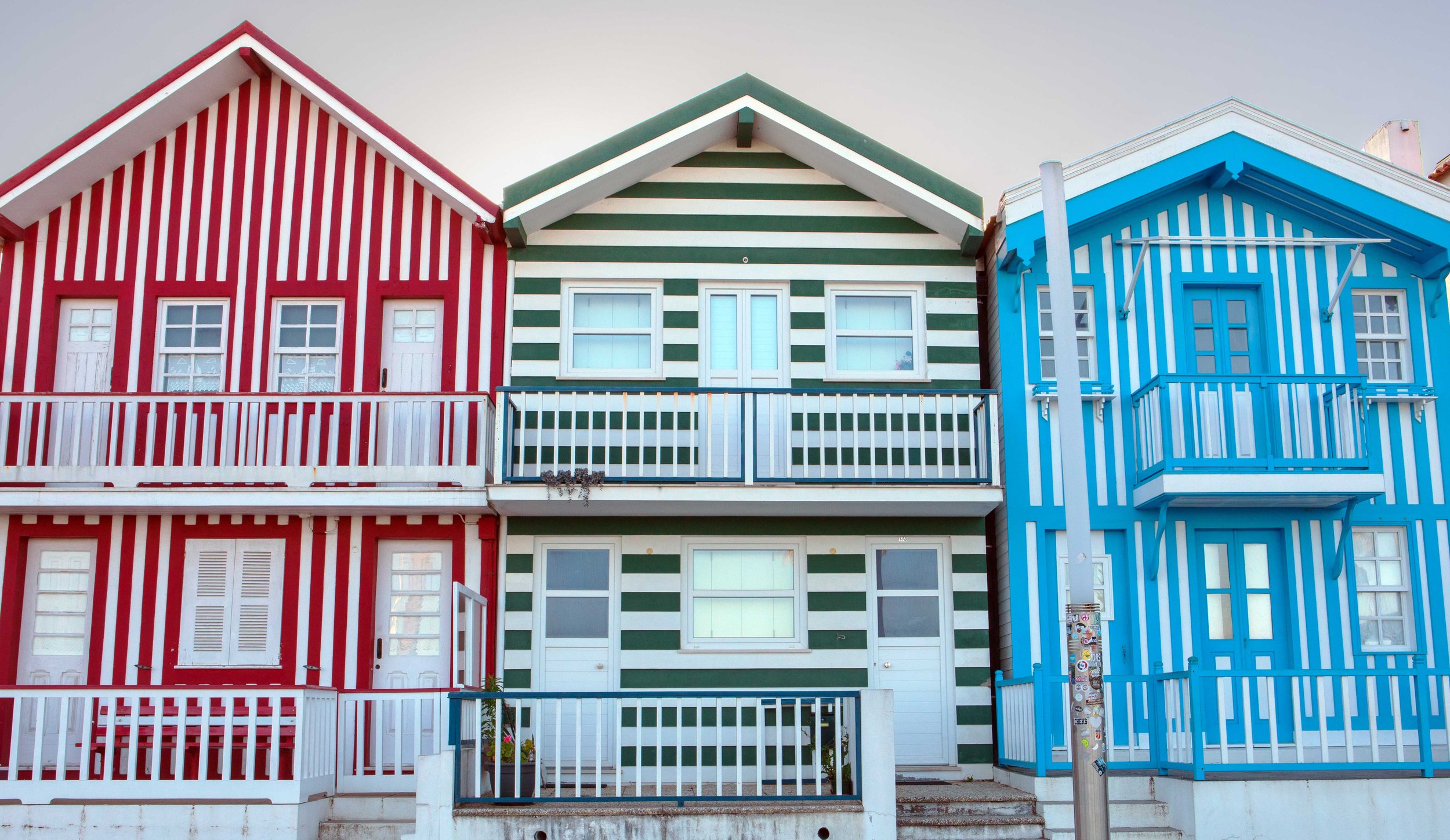
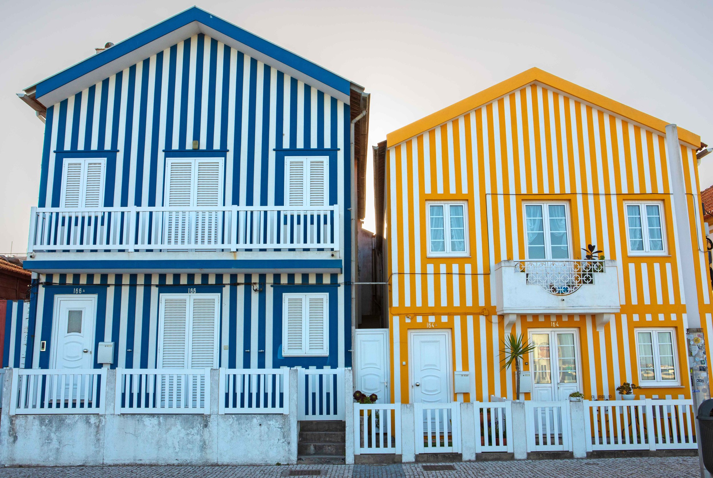
Striped, colorful houses in Costa Nova, on the Atlantic coast and across the Ria de Aveiro lagoon from Aveiro.
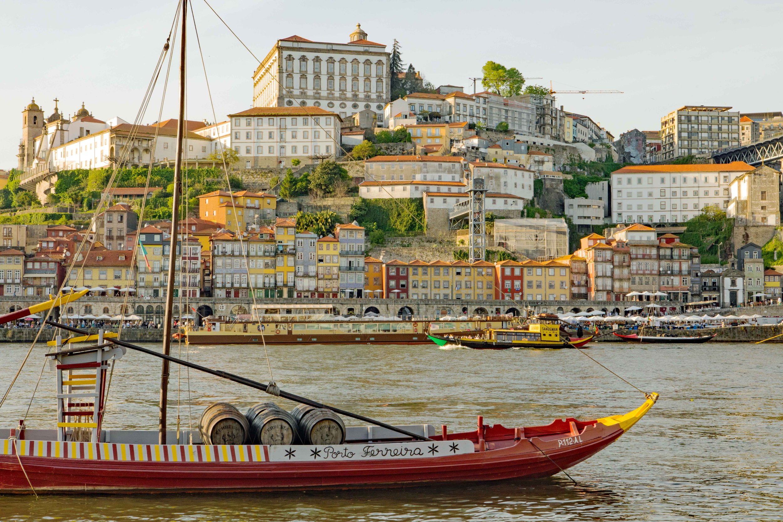
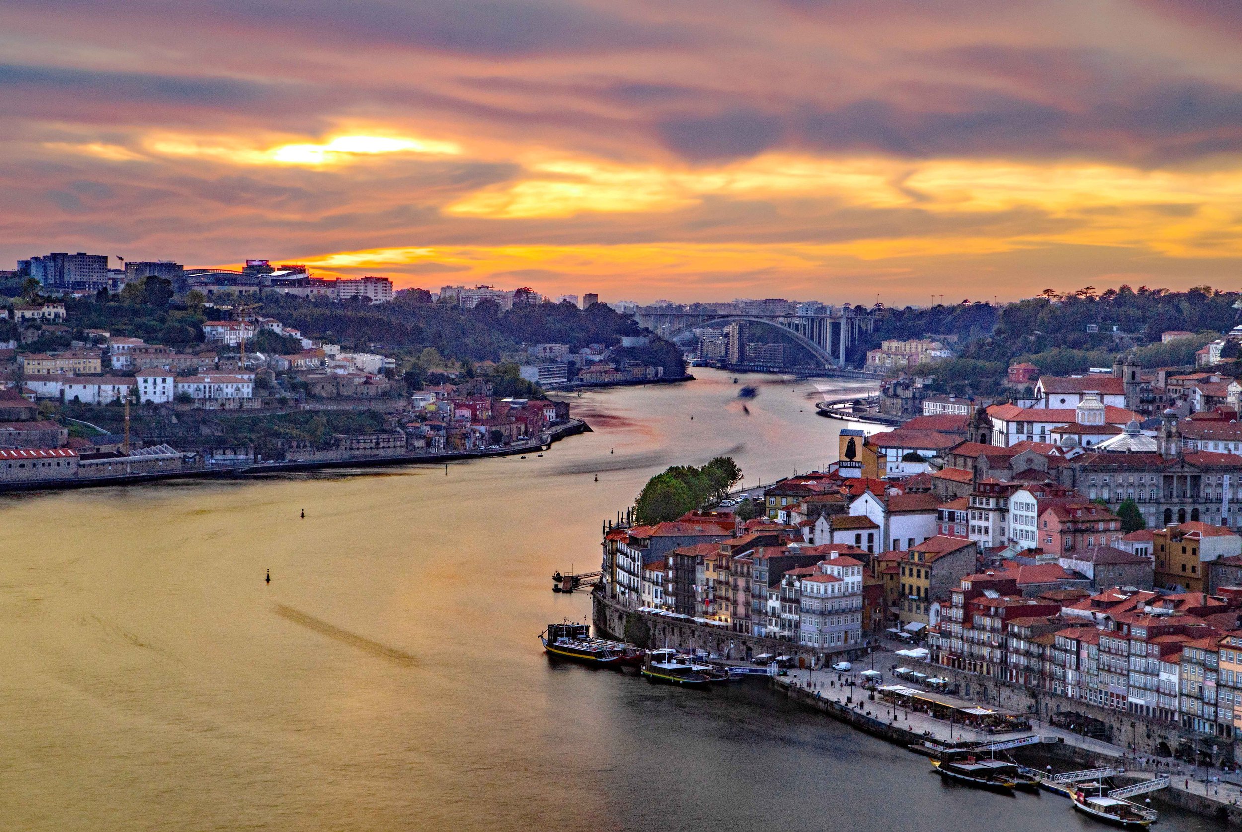
Porto and the Douro River. Porto is the country’s “second city” and is northern Portugal’s hub.
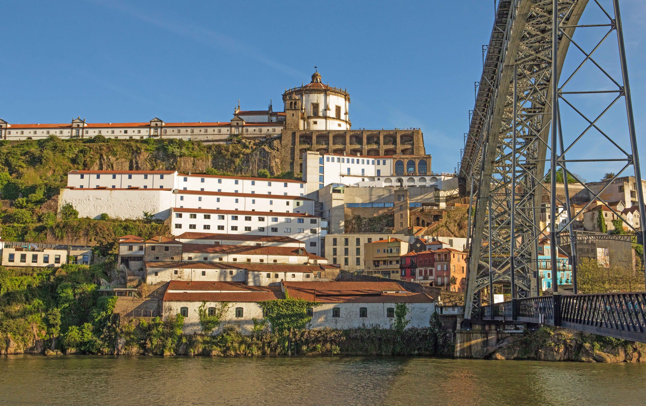
Ponte Luis I bridge, Douro River, and Mosteiro de Serra do Pilar, or Monastery of Serra do Pilar, across the river from Porto in Vila Nova de Gaia.
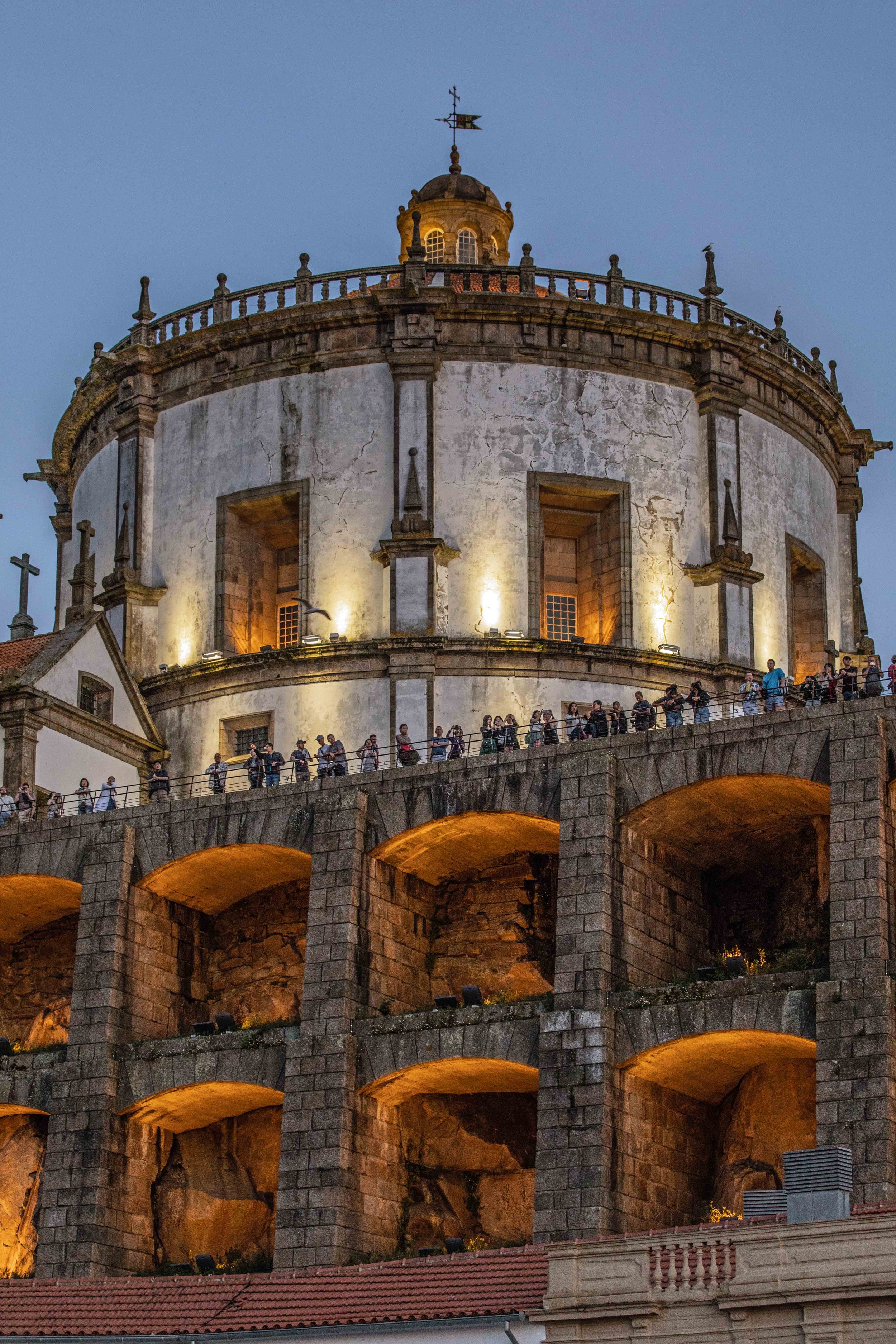
Mosteiro de Serra do Pilar in Vila Nova de Gaia
Vila Nova de Gaia
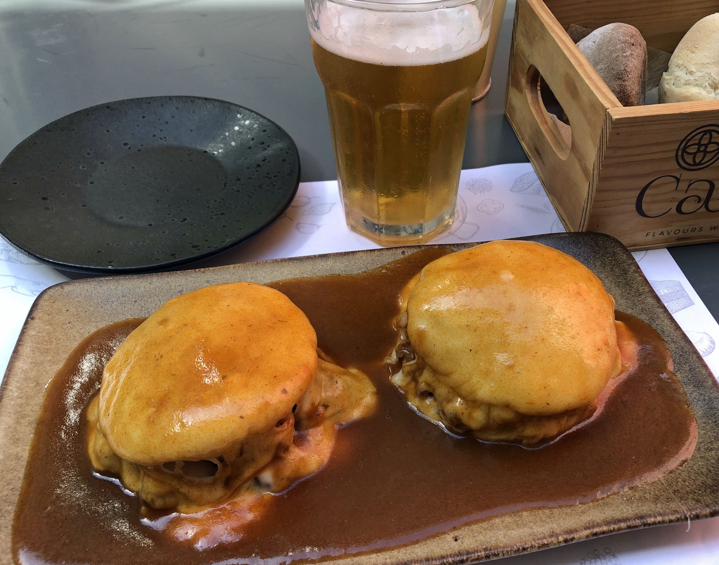
Francesinha, a tradtional Portuguese dish from Porto containing toasted bread, beef, sausages, ham and melted cheese served in a tomato-and-beer sauce. Loaded with flavor … and cholesterol.
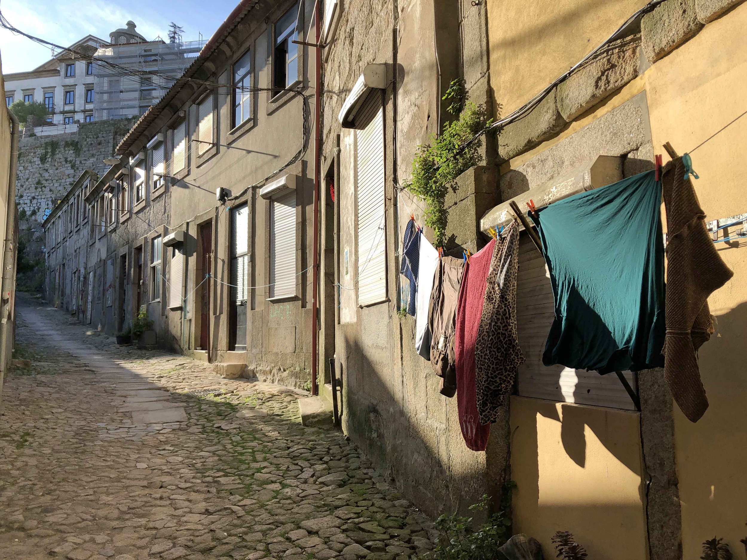
Porto alley
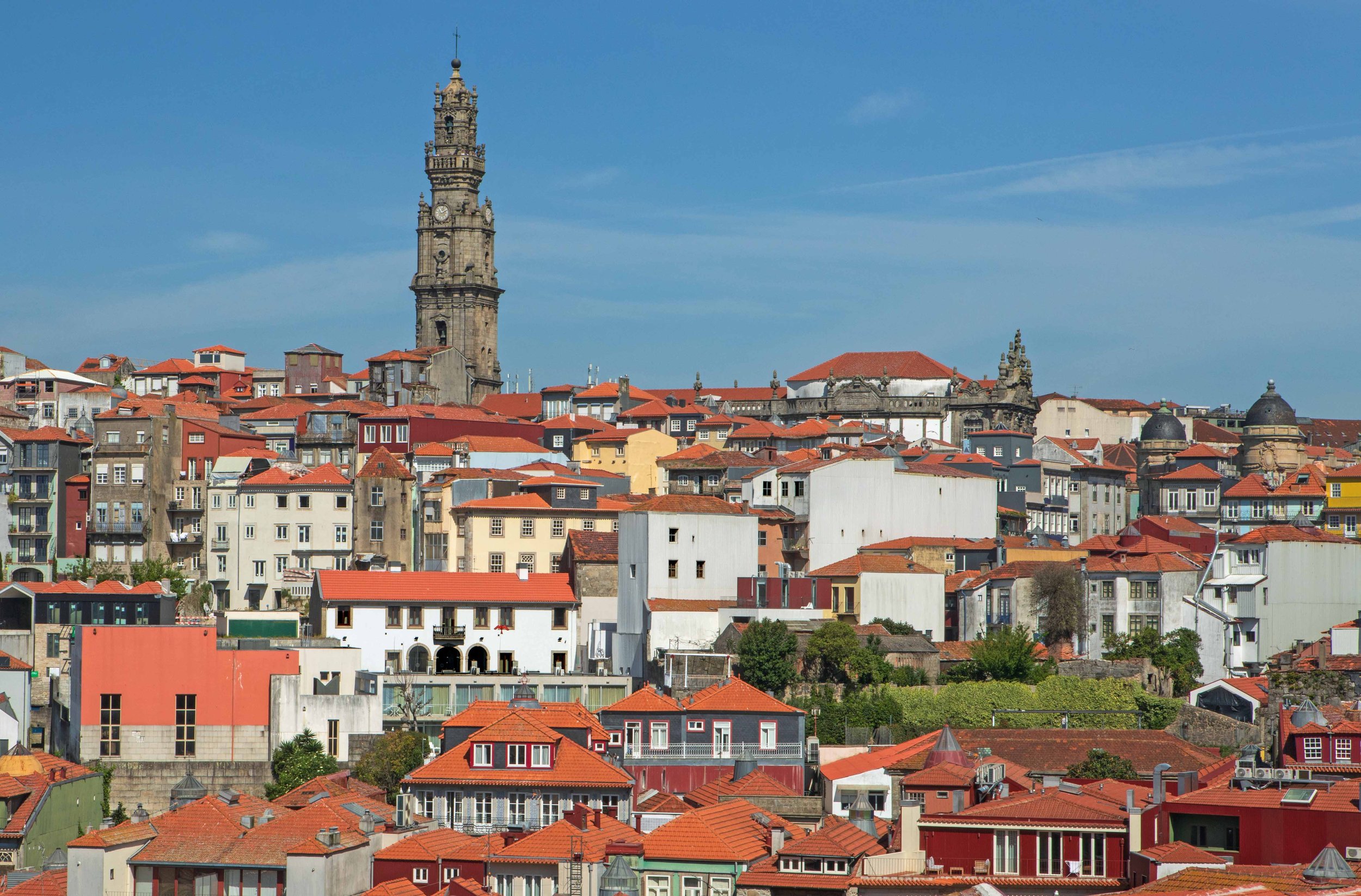
Torre dos Ciérgos, or Ciérgos Tower (Porto)
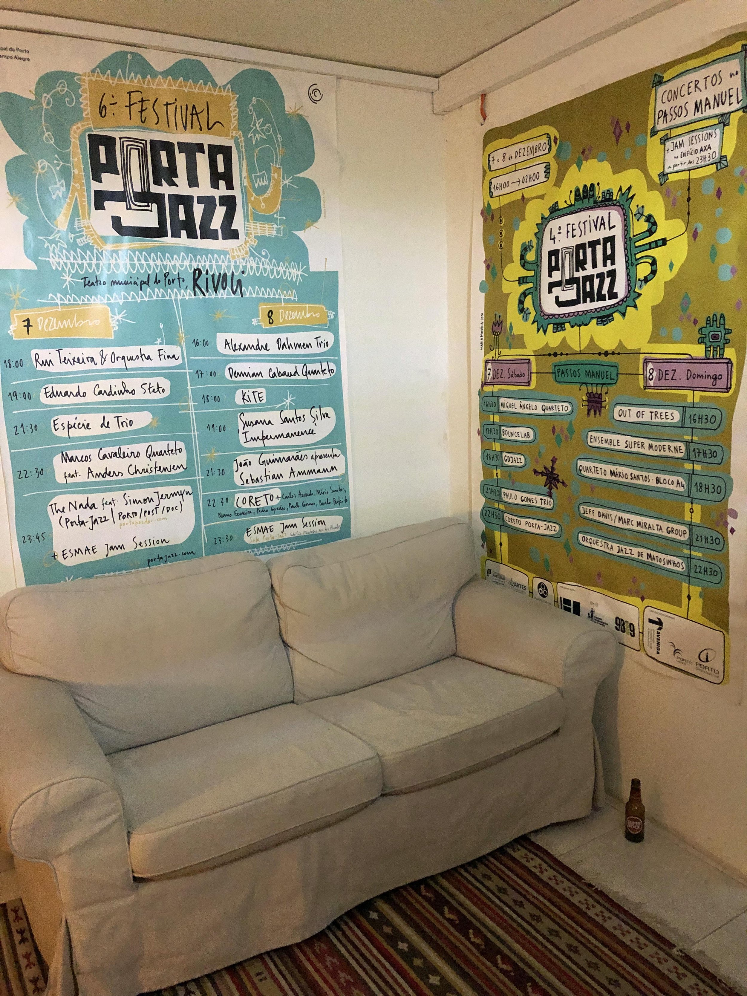
Porta Jazz, an unpretentious, subterranean jazz club in Porto.
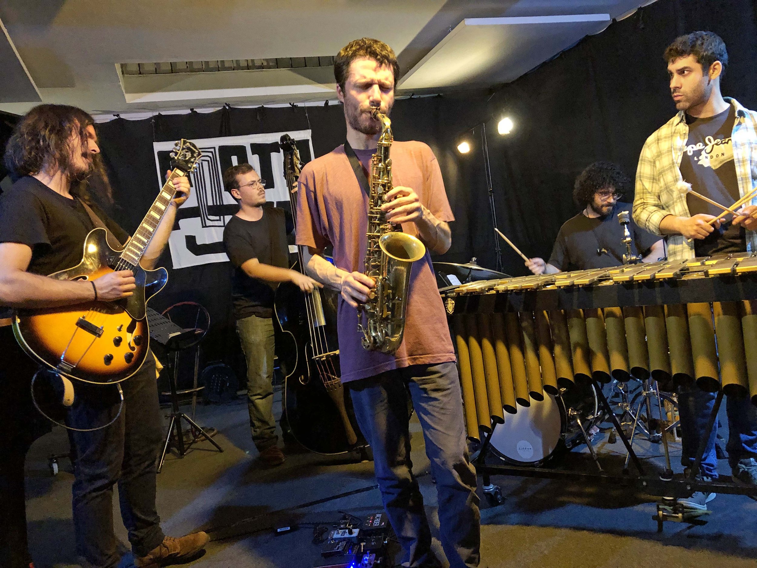
Jam session at Porta Jazz
Porto sunset
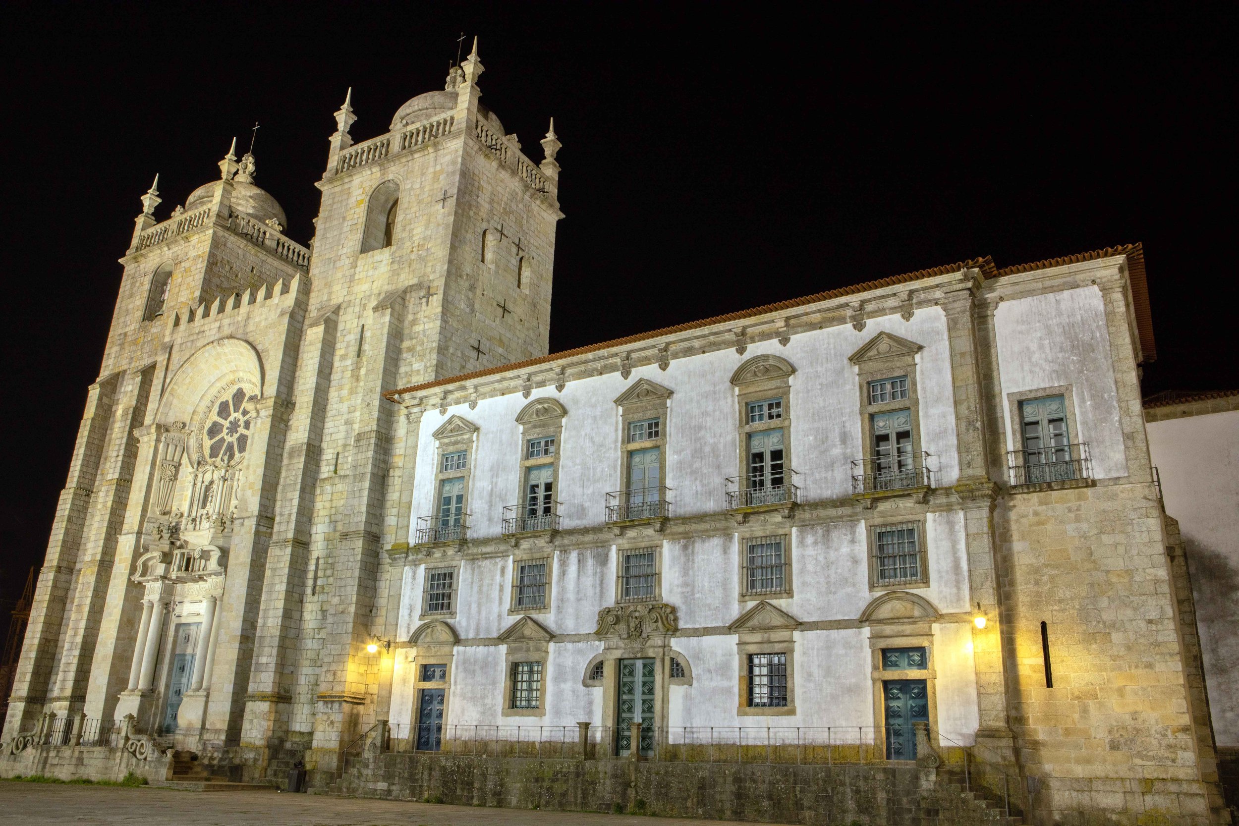
Porto Cathedral